A satellite image of a coastline shows terrain data in green with yellow hotspots

Imagery Content

Ready-to-use imagery and data layers

Extend your work with content from open-source and commercial imagery data providers, Esri partners, and worldwide sources.

Add context with global content

Get access to a vast collection of imagery and remotely sensed data

Esri curates thousands of maps, apps, and datasets from authoritative and commercial sources and makes them available to you, ready to use, via ArcGIS Living Atlas. Find the imagery content you need to visualize remotely sensed images on maps, perform image analyses, and layer imagery data with other spatial information.

All types of imagery and geospatial content

Start with ready-to-use layers like world imagery and land cover, then explore apps, deep learning models, and other global geospatial datasets.

More sources of global and regional imagery

Access satellite imagery like Sentinel, Landsat, and MODIS—as well as premium imagery data from Esri partners and contributors around the world.

Tools that take your imagery beyond basemaps

In ArcGIS, imagery layers are not static backdrops—like any spatial data, they're available for analysis and visualization.
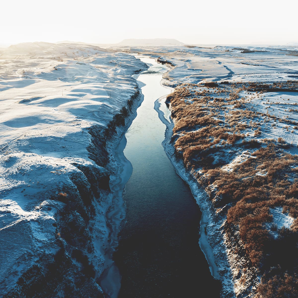
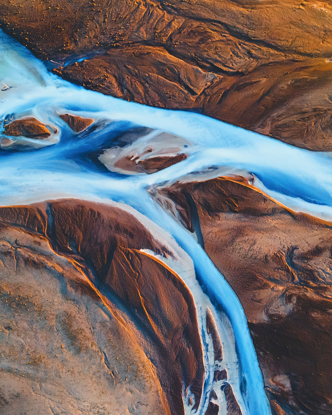
A river flows through a flat, snowy tundra landscape with a plateau rising in the distance

Curated from authoritative sources

ArcGIS Living Atlas includes imagery layers from leading agencies such as NASA, NOAA, USGS, and USDA Farm Service Agency.

Explore the foremost collection of geographic information

Imagery data layers in ArcGIS Living Atlas include all industry and research essentials in satellite, aerial, and remote sensing content, and feature a range of current, forecasted, and historic datasets.

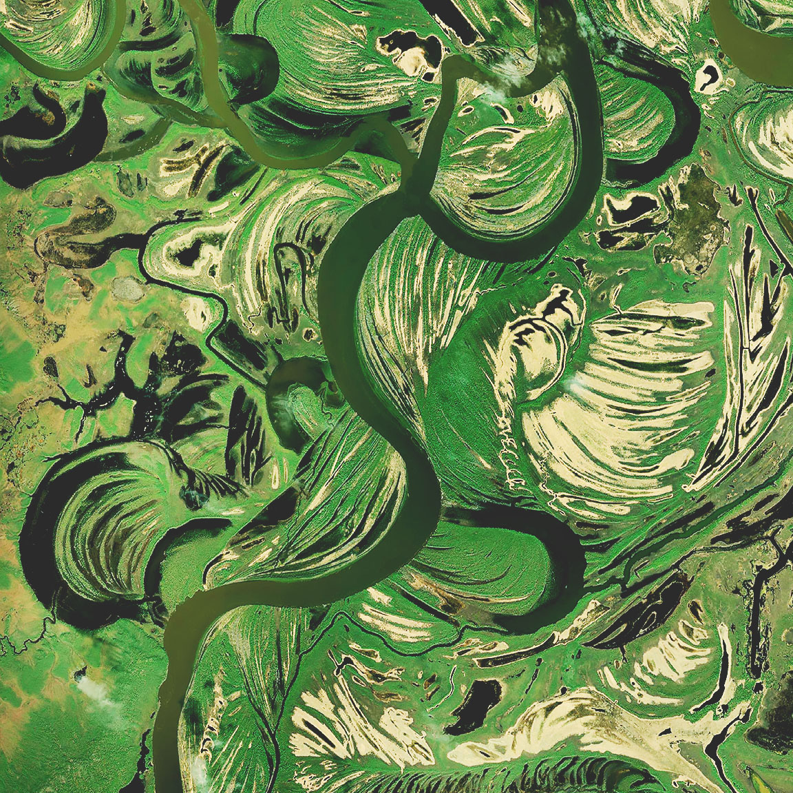
Satellite imagery of wetlands shows a dark green river curving through brown and bright green marshes World Imagery

Access one-meter or better aerial and satellite imagery of the world, with political boundaries and place-names.

Explore World Imagery
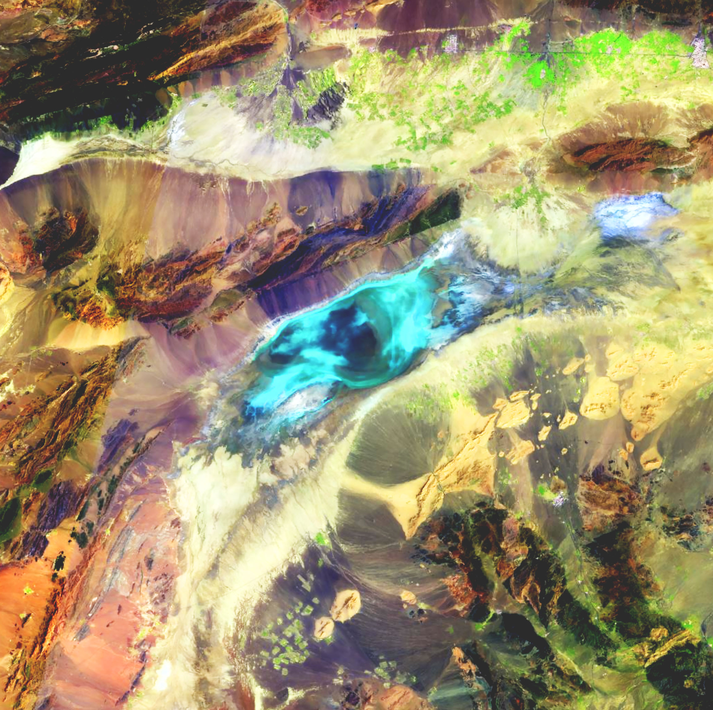
Remote sensing satellite imagery shows a landscape with blue, purple, pink, and yellow gradients surrounding terrain textures Landsat

Access the full Landsat data archive as multispectral apparent reflectance or surface reflectance imagery. This global dataset is updated daily and allows you to rewind more than 40 years.

Try the Landsat Explorer app
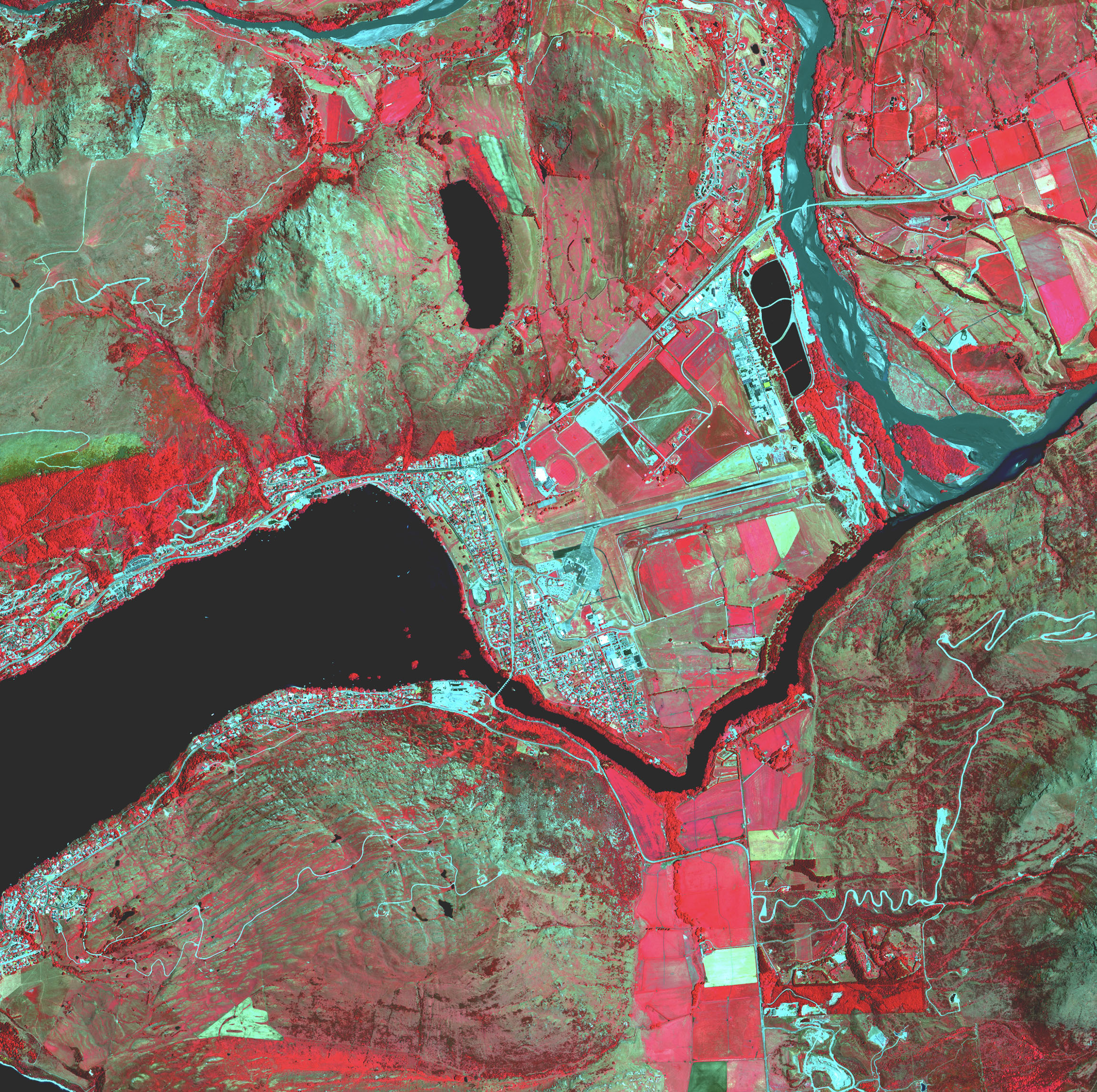
A map of a town next to a river shows hot spots and farm fields in shades of red NAIP

National Agriculture Imagery Program (NAIP) is multispectral imagery captured during agricultural growing seasons in the continental United States. Access NAIP imagery from 2010 through 2019.

Explore the NAIP collection
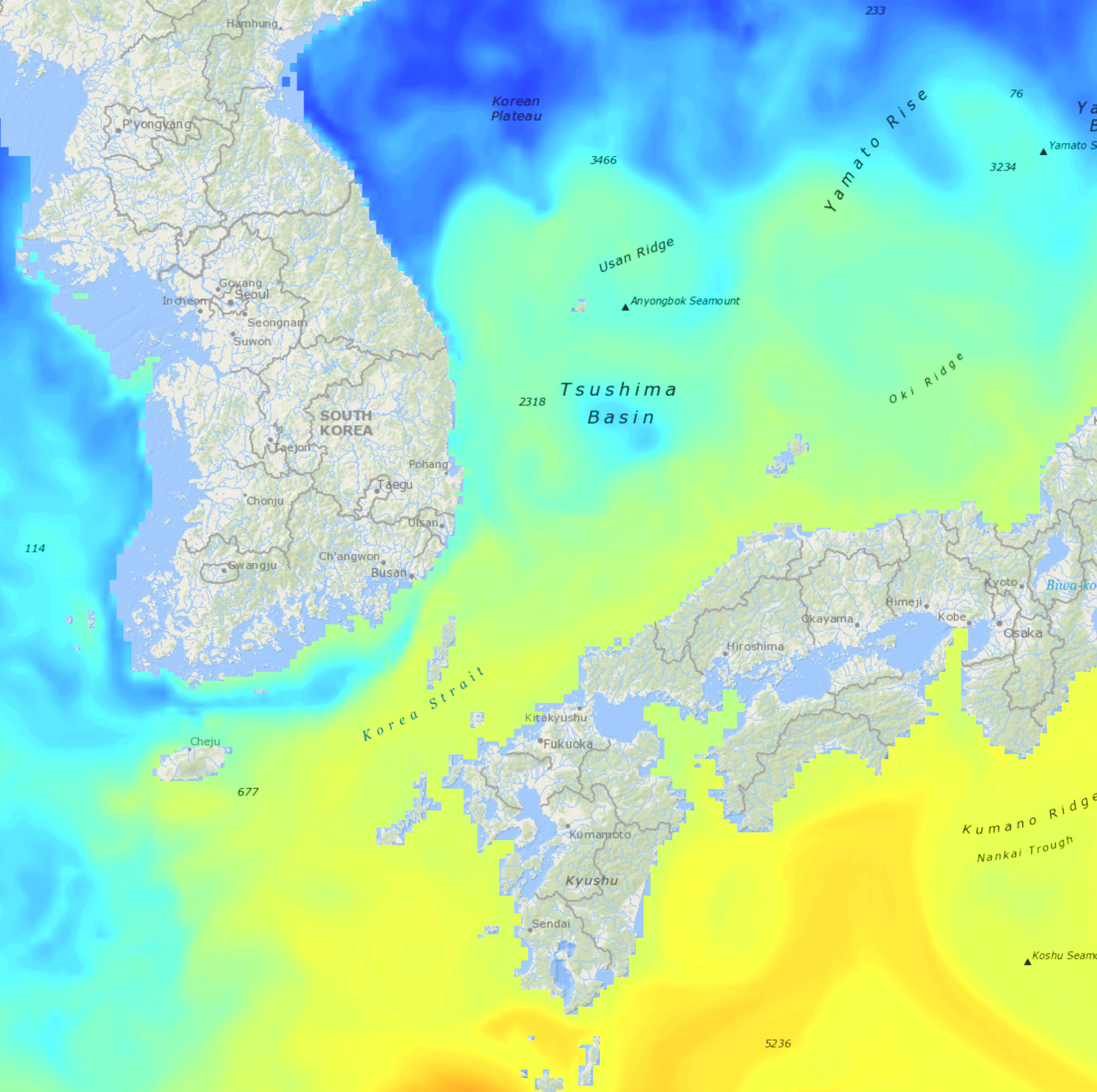
A map of South Korea and Japan shows the waters of the Tsushima Basin and Korea Strait in a yellow, green, and blue gradient HYCOM

The HYbrid Coordinate Ocean Model (HYCOM) is a product from the HYCOM Consortium, which forecasts global ocean conditions. Access a 7-day forecast and 30-day hindcast from HYCOM, reported in three-hour intervals.

Explore the HYCOM collection
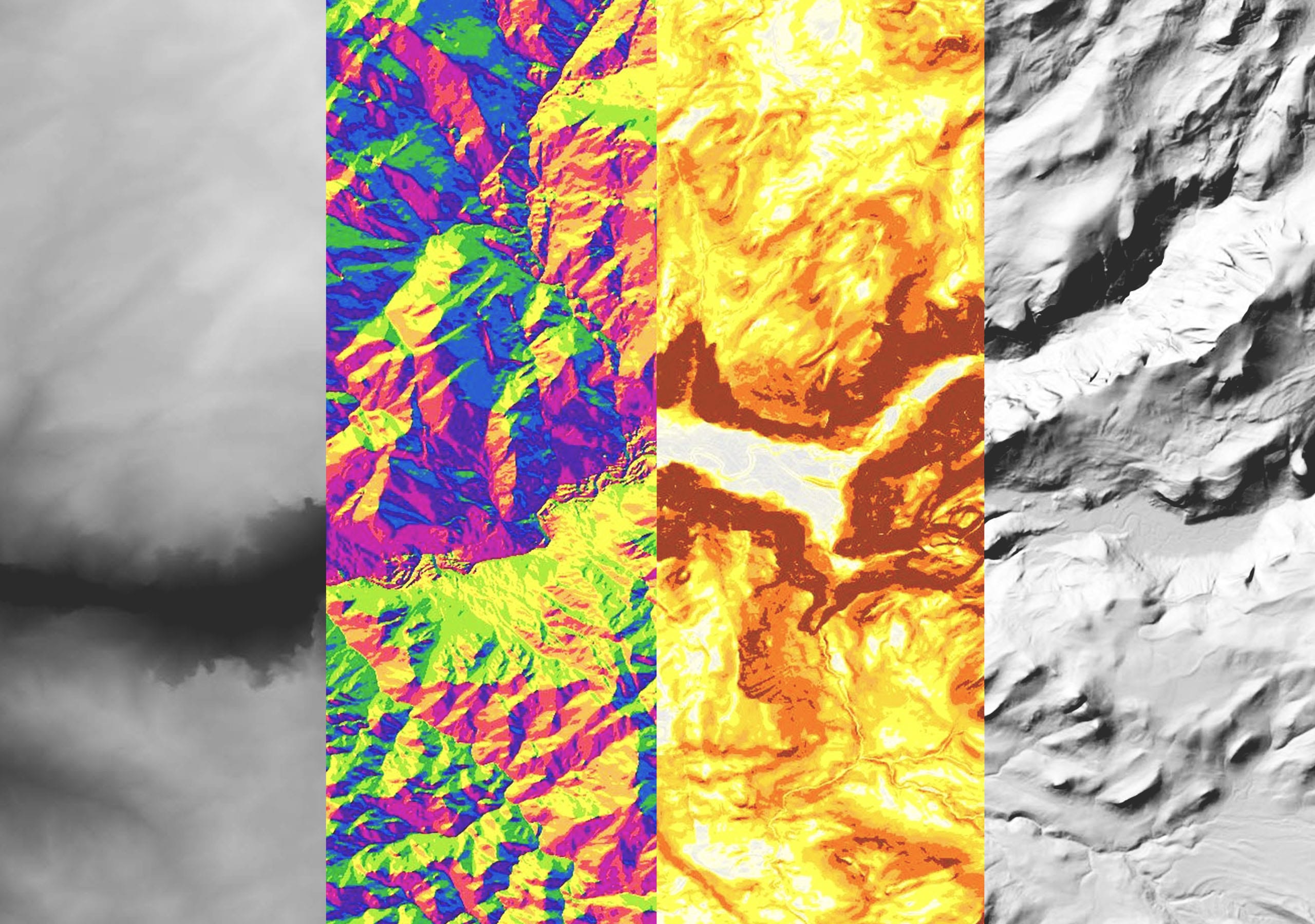
Four panels show the same remote sensing image with different colorways showing multiple interpretations of the sensor data World terrain

Access global multiresolution elevation data services for visualization and analysis. Layers include slope, aspect, contour, and hillshade options.

Explore elevation layers
A multispectral satellite image of a waterway shows the coastline in a bright yellow to orange gradient Sentinel-2

Access Sentinel-2 10- and 20-meter-resolution multispectral imagery with worldwide coverage updated every five days. See earth's radiance and surface reflectance.

Try our Sentinel-2 Explorer
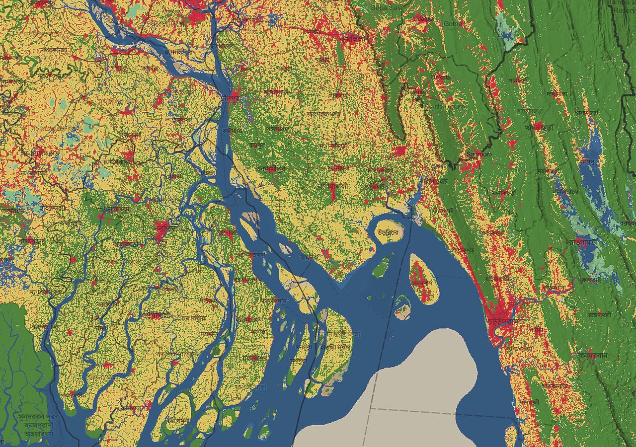
A land cover map of the mouth of the Meghna River in Bangladesh Land cover

Artificial intelligence models, applied to the entire Sentinel-2 scene collection for each year from 2017 to 2021, deliver a nine-class map of the surface, including vegetation types, bare surface, water, cropland, and built areas.

Learn about land-cover maps
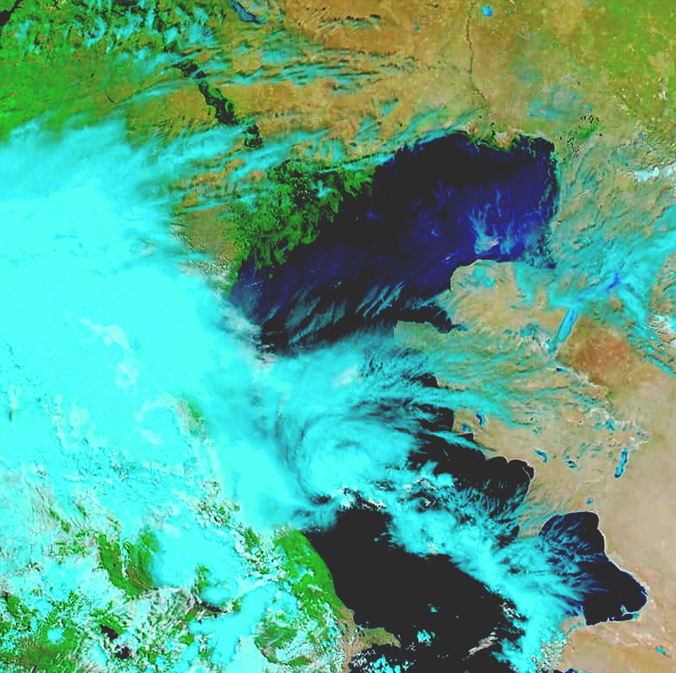
A remote sensing satellite image shows sensor data in gradients of blue, green, and brown MODIS imagery

Access full-resolution imagery collected by NASA's Terra (EOS AM) and Aqua (EOS PM) satellites.

Explore the MODIS collection

Premium imagery content

Users can access premium imagery directly from leading providers or through ArcGIS.

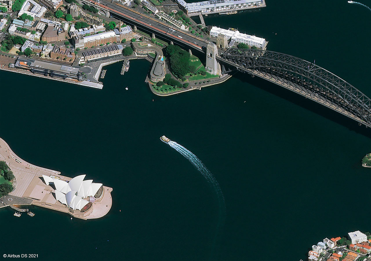
A native 30 cm Pléiades Neo image of Sydney, Australia, acquired on October 1, 2021, at a 50° incidence angle Airbus

Airbus provides accurate, consistent, and easily accessible optical and radar satellite imagery as well as data ranging in resolution from 25 cm to 22 m, including 30 cm Pléiades Neo data.

Airbus solutions
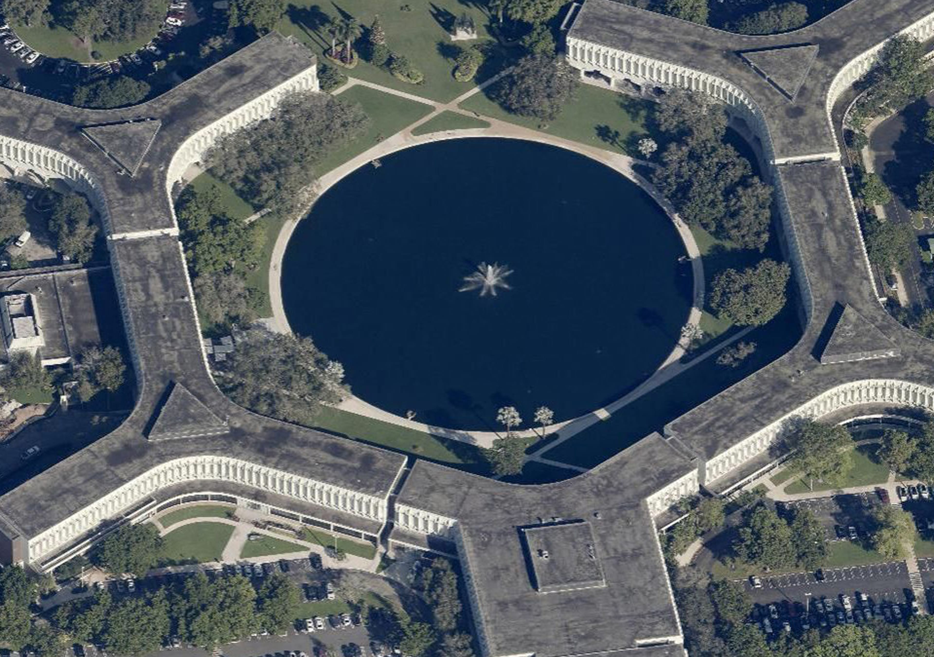
An aerial top-down view of a star-shaped building complex encircling a circular pond with a central fountain EagleView

EagleView delivers high-resolution aerial imagery to support decision-making in government and commercial sectors.

EagleView solutions
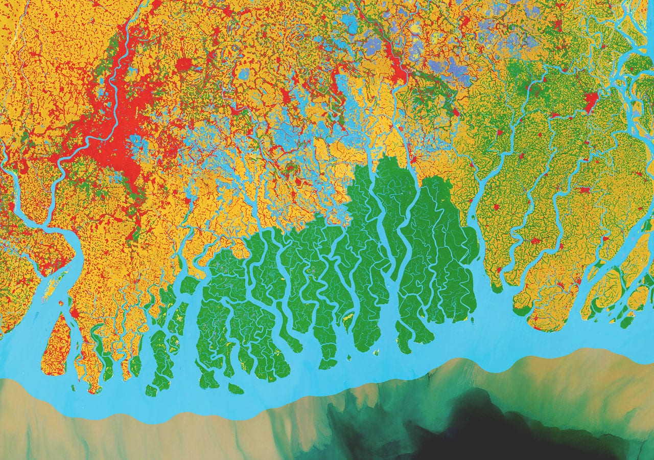
Land use classifications over the Sundarbans mangrove area in the Bay of Bengal Impact Observatory

Impact Observatory delivers near real-time, AI-powered land use and land cover maps for monitoring and decision support, available globally on demand.

Impact Observatory solutions
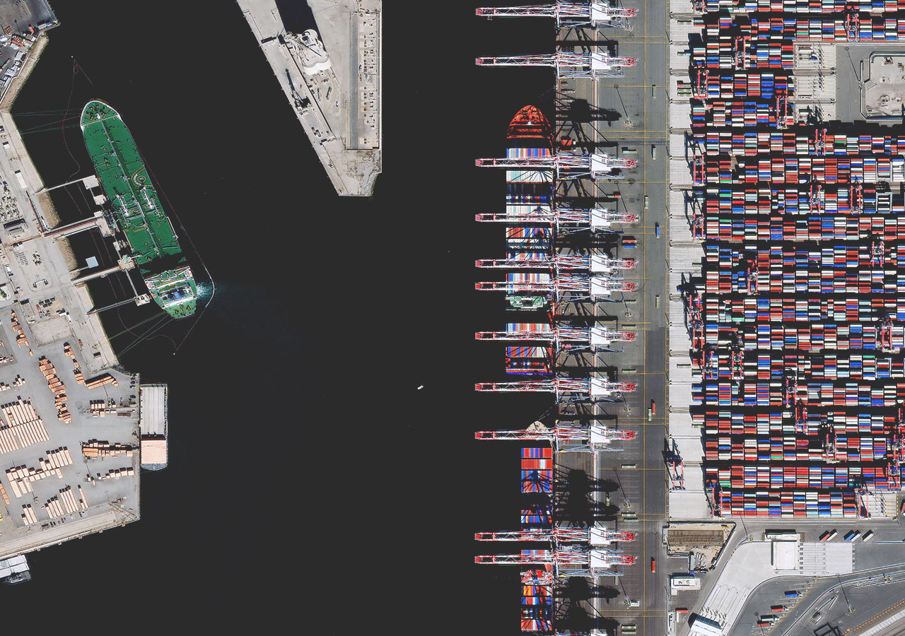
The Port of Long Beach, California, is shown in this Maxar Vivid Premium 15 cm HD image. Maxar

Maxar's Vivid offers a stunning, cloud-free basemap for mapping, visualization, and analytics, serving as the high-resolution foundation for the World Imagery layer.

Maxar solutions
Examples of five Nearmap content types—vertical, panorama, oblique, 3D, and AI—spliced together and labeled Nearmap

Nearmap provides frequently updated high-res aerial imagery (vertical, oblique, panorama, 3D) and location intelligence (verified, pre-processed AI)

Nearmap solutions
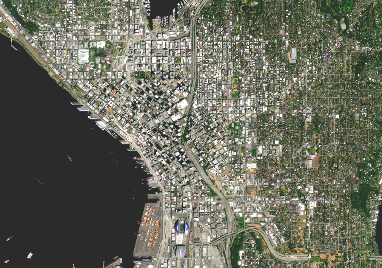
True-color PlanetScope image showing infrastructure in downtown Seattle, Washington, collected on August 1, 2022 Planet

With the world's largest fleet of earth-imaging satellites, Planet images the Earth daily, making global change visible, accessible, and actionable.

Planet solutions
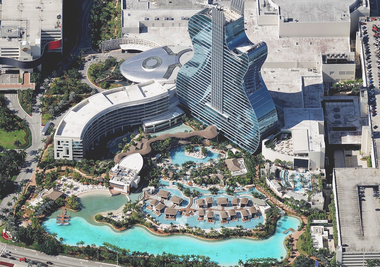
Oblique image collected by Vexcel Data Program, of Seminole Hard Rock Hotel & Casino Hollywood, Florida Vexcel Data Program

Access high-resolution aerial imagery and geospatial data products from over 25 countries, including oblique, true ortho, DSM, multispectral, and property analytics.

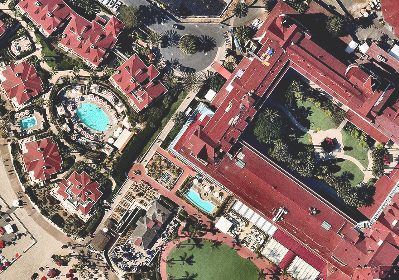
Four panels show a street-level city, as well as aerial views of a skyscraper, a neighborhood, and a red-roofed hotel Other partners

Find more Esri partners that have imagery content or services and have earned a specialization in a focused industry, product, or service.

Find an Esri partner

Access and share your own content

As a modern geographic information system (GIS), ArcGIS is a complete imagery and remote sensing system, supporting all types and scales of content from different sensors, formats, and modalities. No matter what kind—or volume—of imagery data your organization uses, Esri can help you manage your collection and make your imagery accessible.

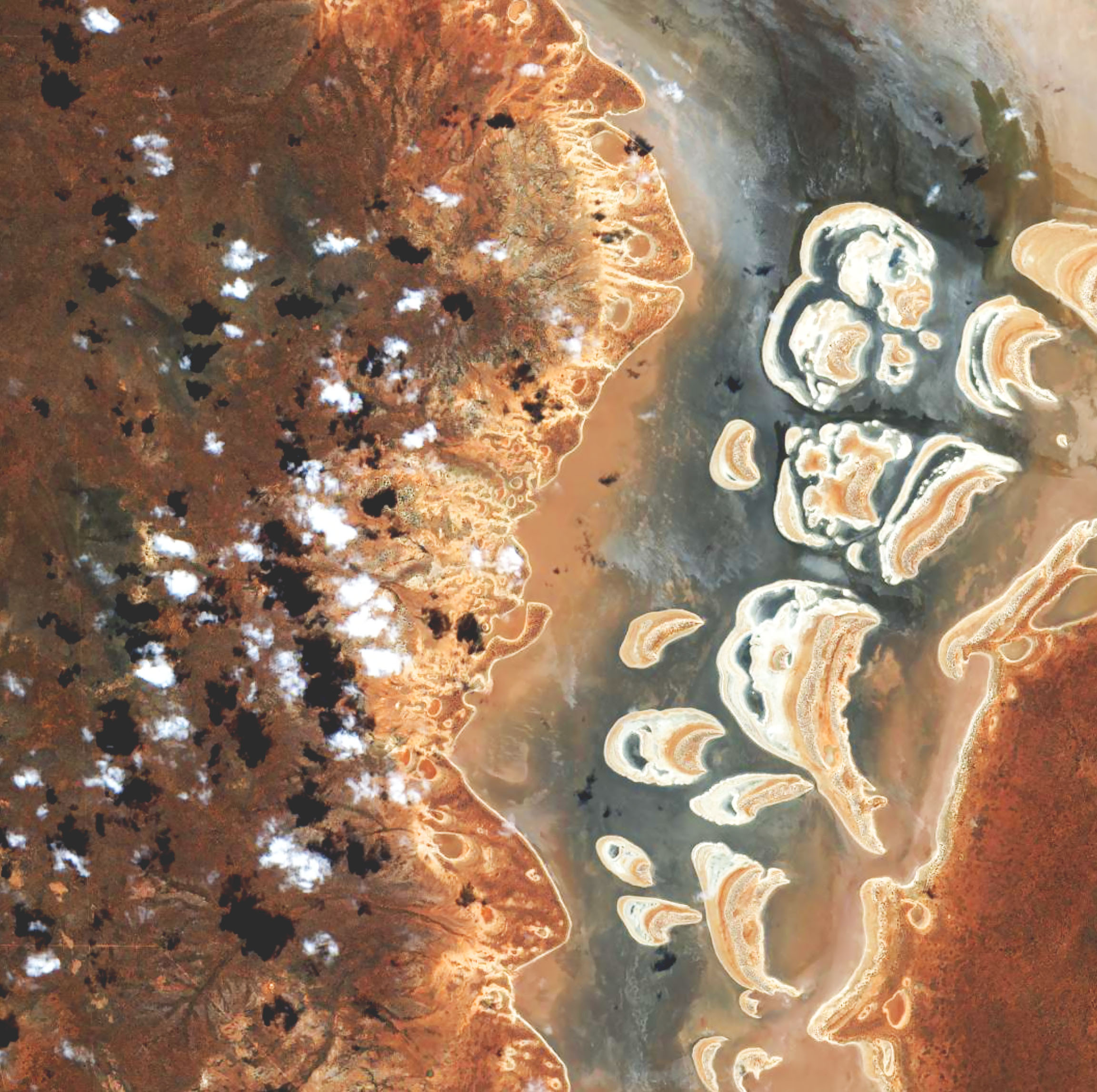
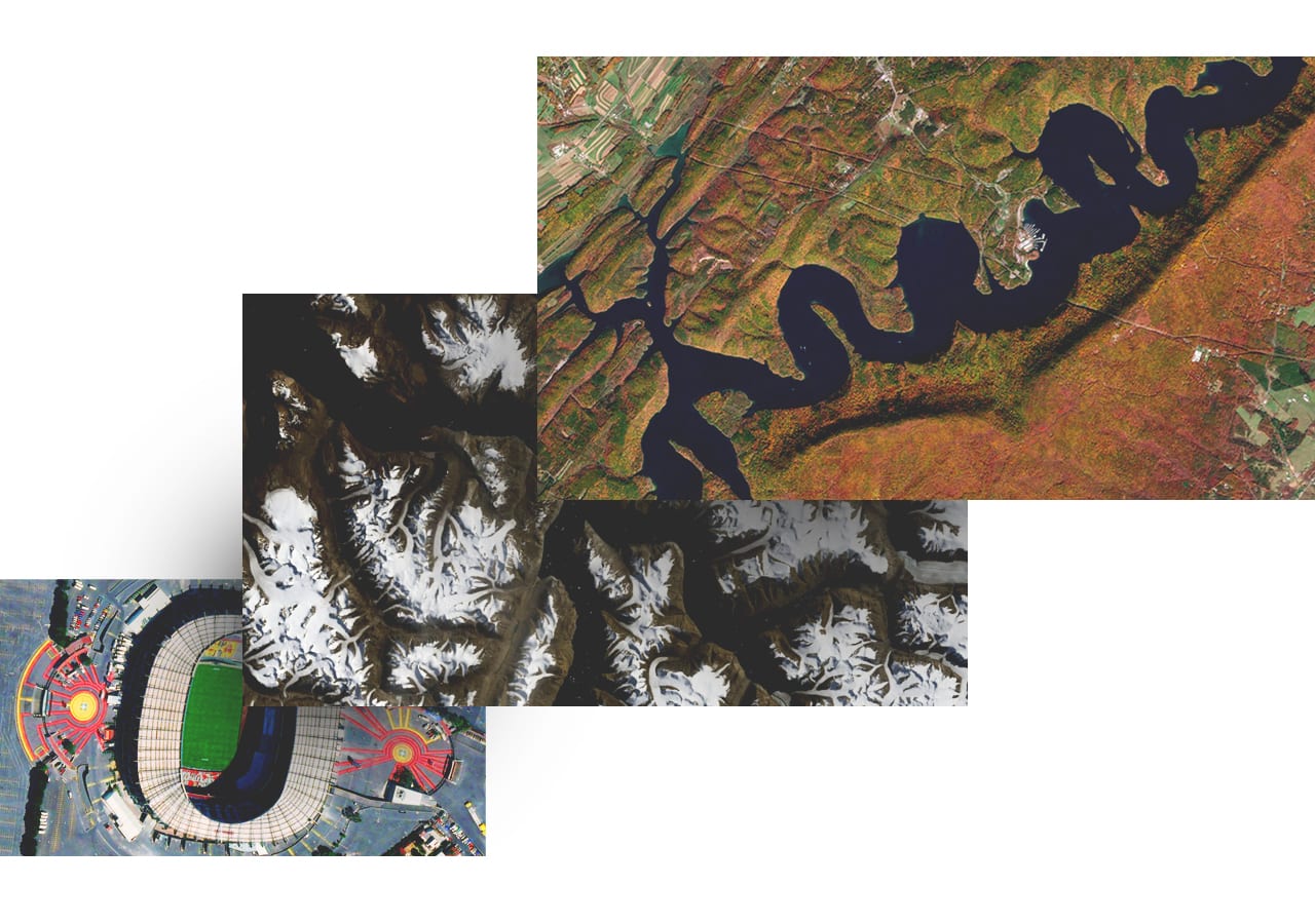
Remote sensing images show mountain, desert, and coastal landscapes in a variety of colors

Imagery content in your industry

Aerial and satellite imagery provides a powerful visual aid for decision-makers in all sectors, showing real-world conditions layered with contextual information ranging from approaching storms to zoning restrictions.

Previous
Next

ArcGIS Living Atlas

Out-of-the-box imagery collection

ArcGIS Living Atlas is the foremost collection of geographic information from around the globe.

Get help finding the right solution

Connect with an Esri sales consultant to explore how imagery and remote sensing can enhance your decision-making, analysis, and operational workflows.

Talk to someone on our sales team

800-447-9778

8:00 AM–5:00 PM, Monday through Friday (PT)

Chat online

Start chat

Contact sales

Get an email response