
Defense
ArcGIS—A complete system for the entire force
GIS empowers everyone in an organization
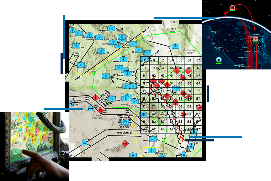
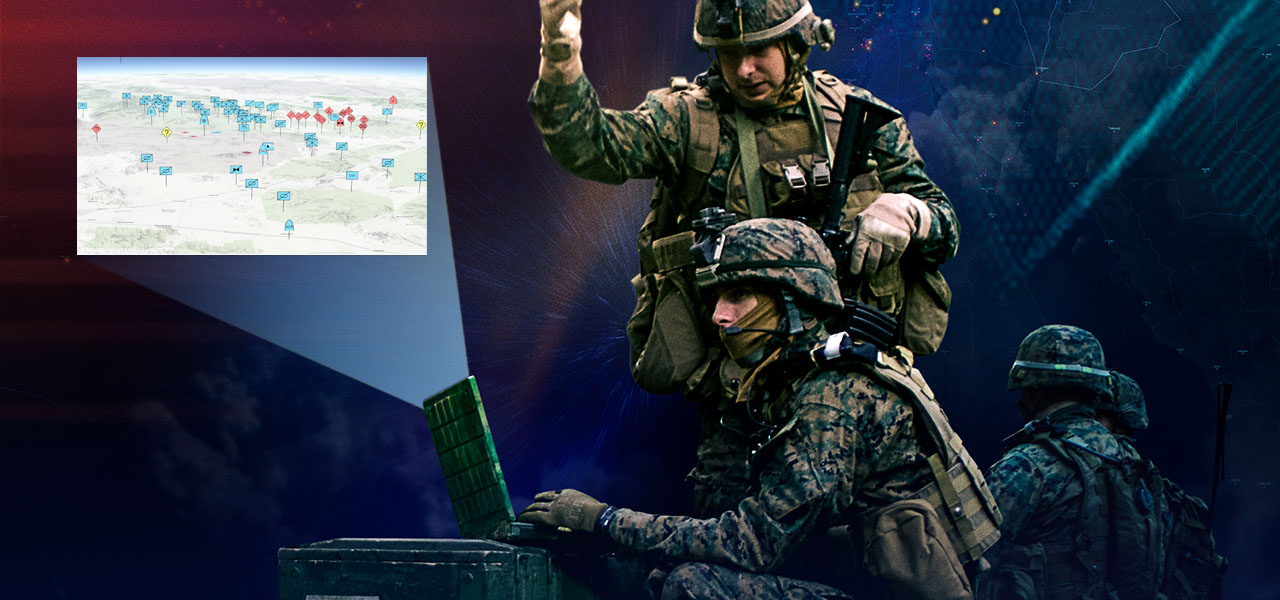
Militaries deploy ArcGIS at all echelons, in support of all staff and warfighting functions, and into modern computing environments. ArcGIS is cloud-ready and can be configured for denied, disconnected, intermittent, and low-bandwidth (DDIL) environments in support of all military missions and functions.
Defense missions
Previous
Next
Geospatial infrastructure for mission systems
Defense organizations can integrate ArcGIS enterprise software into any mission system. ArcGIS is interoperable and provides a modern IT framework that supports an agile enterprise. Organizations have successfully integrated it into thousands of systems because of its standards, open architecture, and extensibility.

Open and interoperable
ArcGIS is an open, flexible, and interoperable platform that fosters innovation. Esri supports open standards for data, services, and metadata.
Explore Esri’s open visionIntegrates into systems
ArcGIS is service-based, extensible technology that integrates into mission systems. Developers and integrators trust ArcGIS to provide geospatial infrastructure for their secure defense operations.
See APIs, tools, and servicesCloud ready
Intelligence organizations use secure and private clouds to modernize and consolidate IT infrastructure. ArcGIS Enterprise is ready for deployment in Amazon Web Services or Microsoft Azure clouds and private clouds.
View deployment optionsSupports disconnected operations
ArcGIS supports multiple deployment patterns. Information can be provisioned and replicated between these patterns to support DDIL environments.
Learn about ArcGIS EnterpriseUpcoming event
Esri User Conference | July 13–17, 2026 | San Diego, California

Our community
Find out how your peers are using Esri technology to achieve their goals.
