
Maximize your planning strategy with ArcGIS
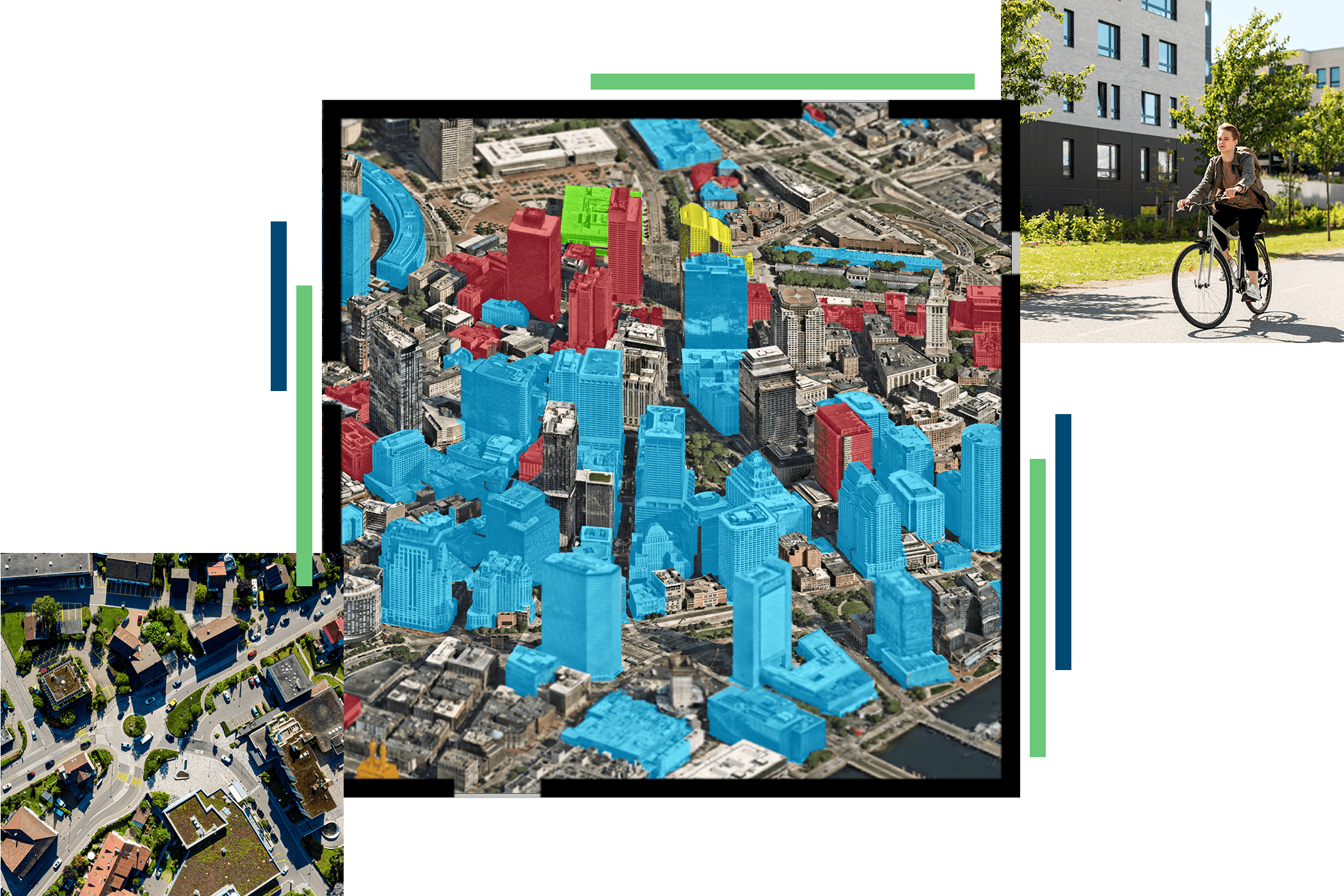
ArcGIS is Esri’s comprehensive geospatial platform. It features industry-leading tools for mapping, data management, spatial analysis, and visualization.
Urban and community planners use ArcGIS as a planning system to evaluate economic needs, streamline project reviews, and engage stakeholders, making smarter decisions that improve the quality of life in their communities.


