
Cloud-based SaaS
ArcGIS Online
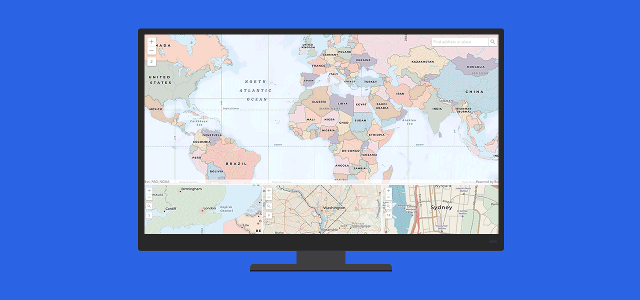
Get started with ArcGIS Online, Esri's cloud-based, software-as-a-service product. Your maps, apps, and data are hosted and accessible anywhere.

Software to visualize and understand your data spatially

Bring your data into a map and discover spatial relationships for the first time. Many file types are supported by Esri's mapping software, including spreadsheets, KML, GeoJSON, and common geospatial files. Esri provides complete data hosting, or you can host it on your infrastructure.
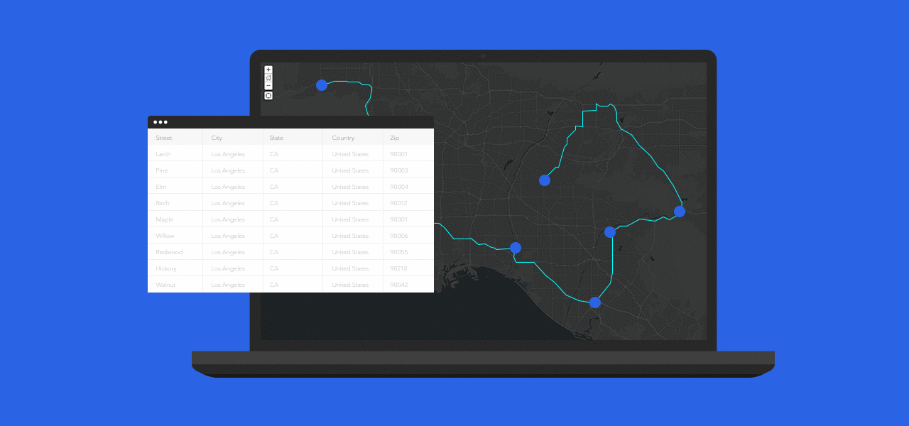
Use geocoding to transform your addresses into points on a map and set up multimodal routes. Create maps that display data dynamically as soon as it is updated and improve the quality of your decisions by referencing the most up-to-date data.
Interactive web maps give you and your team the opportunity to explore and update data. As you zoom in, additional data and insights become available. Click on the map to discover location-specific data displayed in charts or infographics. Filter data and change the symbology to gain additional perspectives and reveal new patterns.
Use your maps even without a network or cellular connection. Download your maps before you go, and conveniently access them on your smartphone or tablet. Once you are connected again any data you or your team added is automatically synchronized.
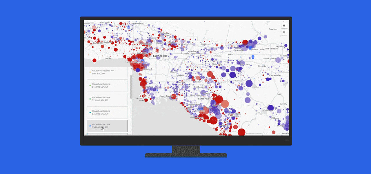
Discover and refine your data's story using a set of intuitive analysis tools, such as drive times and buffers. Smart mapping, pioneered by Esri, uses data-driven styling, colors, and symbols to guide your exploration and transform your raw data into useful information. You can also understand your data better by visualizing it with different map styles.
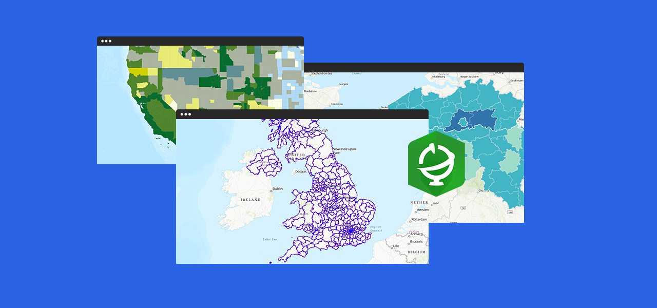
Deepen your understanding and expose relationships by adding authoritative data, such as demographics, imagery, boundaries, and live feeds, to your map. ArcGIS Living Atlas of the World, the most comprehensive collection of global geographic information, is included with every ArcGIS mapping product.
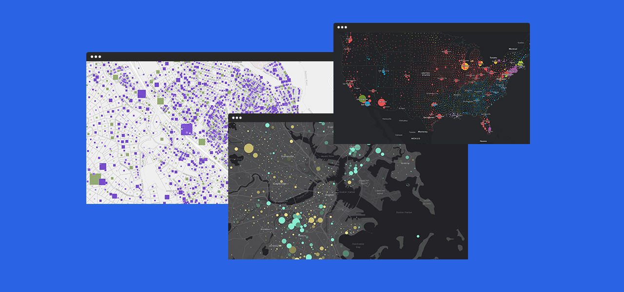
Brand and personalize your maps using custom symbols, colors, and basemaps. Make your data pop by placing it on a historic, creative, or present-day basemap. You can also customize the basemaps or build your own.
Create apps that enable your audience to not only view your map but also interact with the data. Choose from a variety of focused app templates and create an app in just a few clicks. Include them on your website using the convenient embed code. Each app has a specific purpose to help tell your story and keep your audience engaged.
There are many ways to access Esri’s mapping capabilities including cloud-based SaaS, self-managed infrastructure, developer tools, and desktop software. Identify how you would like to access the capabilities and learn more about the corresponding product.
Cloud-based SaaS
ArcGIS Online

Infrastructure you manage
ArcGIS Enterprise

Developer tools
ArcGIS Developer
Desktop GIS
ArcGIS Pro