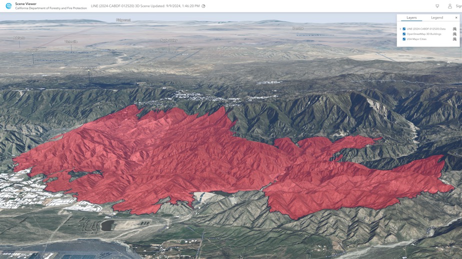
3D Scene - Line Fire, San Bernardino County, CA
A 3D Scene for the Line (2024-CABDF-012520) incident. Shows the latest perimeter, terrain and buildings. Developed by CAL FIRE.

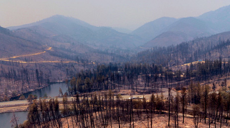
Access wildfire data, live feeds, technology, and resources
Manage your wildfire response with live feeds and sensor data including a list of fires sorted by the number of personnel assigned from greatest to least as reported by incident staff.
The Wildfire Aware app is intended to provide information about the current status and potential impact of wildfire incidents in the United States.

View agency and industry best practices using geospatial technology for wildland fire response and recovery.
3D Scene - Line Fire, San Bernardino County, CA

Wildfire Public Information Map
Air Quality Aware
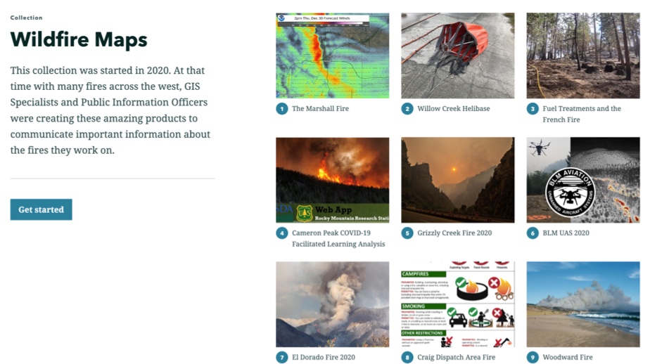
Wildfire Maps Collection
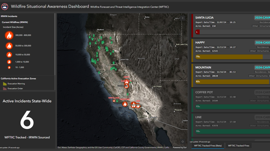
California Wildfire Situation Awareness Dashboard

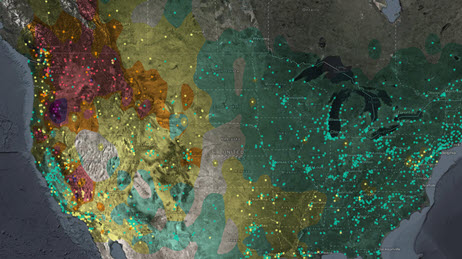
Active US Wildfires with Smoke Forecasts
FEMA Wildfire Geospatial Resource Center
Use this collection of applications, map layers, live data feeds, maps, organizations, blog posts, and how-to guides to help plan and manage your wildfire response.
Request embedded maps or interview topic experts for your disaster-related editorial features and news stories.
Explore ArcGIS Solutions, incident-specific data, resource catalogs, and live data feeds to support your disaster response.
See how we help organizations maximize impact for people, planet, prosperity, and peace.
If you need GIS software or support for your current disaster response, please request assistance by completing the form. All requests should be fully justified and are subject to approval.