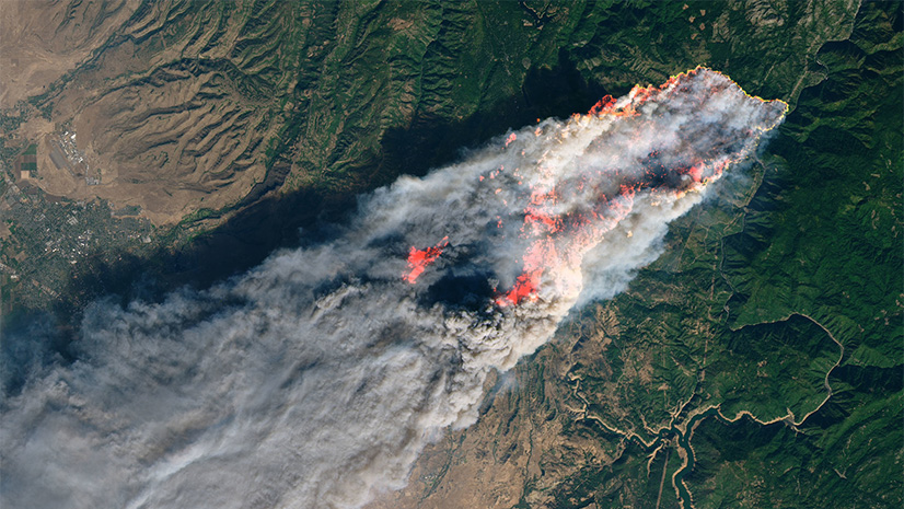
Fighting wildfires is probably one of the best examples of an integrated approach to GIS. Information is assimilated from aircraft, drones, sensor networks, satellites, spotters, dispatchers, and boots on the ground. It’s shared and edited across complex databases and updated in near real-time. That information is mapped and printed or shared in a variety of applications back to those first responders, emergency managers, or people at home.
All of that information is trying to answer some seemingly simple questions: where is the fire, what is the current size, and where is it going?
There is a new set of resources available in ArcGIS Living Atlas of the World to help answer those questions, which makes now the perfect time to update your maps.

USA Current Wildfires
For years, the USA Wildfire Activity layer has been used to map active wildfire locations and their perimeters. Due to the shutdown of GeoMAC data feeds, an updated version is now available that leverages the Integrated Reporting of Wildland-Fire Information (IRWIN) location database along with the polygon perimeters from the National Interagency Fire Center (NIFC). Both layers update every 15 minutes (note: the data itself may update more frequently).
Please update your maps with the new USA Current Wildfires layer. Not only does this new service perform better, but it also does not require an ArcGIS subscription to access.
The source IRWIN fire location database is quite complex, so the layer displays events that meet the following filters:
- Events modified in the last 7 days
- Events that are not given a Fire Out Date
- Incident Type Kind: Fires
- Incident Type Category: Prescribed Fire (RX), Wildfire (WF), and Incident Complex (CX)
How do I know which version of USA Wildfires that I am using?
If you added the layer to your map from Living Atlas after April 30, 2020, you are using the correct layer. If not, you may need to swap the layer in your map. Other clues can be found from the Item Description in ArcGIS Online.

In the above examples the new version (top) shows
- Feature Layer instead of Map Image Layer
- The new version is included in Living Atlas
- The old version still requires a subscription
- The old version is listed as Deprecated
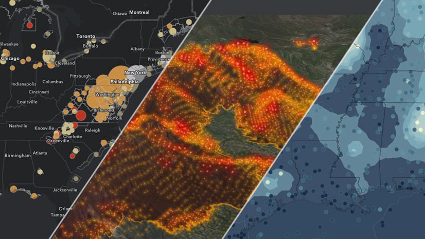
NEW: Global Thermal Hotspot and Wildfire Detection from VIIRS
NASA’s MODIS sensor on the Aqua and Terra satellites changed the way we observe the planet. The successor to this mission, VIIRS, flies on the NOAA polar-orbiting satellites (currently Suomi-NPP and NOAA-20). VIIRS has several advantages over MODIS, especially for wildfire detection.
- 375-m vs 1-km spatial resolution
- Greater thermal sensitivity and fewer false positives
- Higher quality data across the entire scan width
Check out this example that compares the difference between MODIS and VIIRS over one week of the Australian wildfires:
Now you can add this improved wildfire information to your maps and apps using the Satellite (VIIRS) Thermal Hotspots and Fire Activity layer from Living Atlas. The Satellite (MODIS) Thermal Hotspots and Fire Activity layer will still continue to update.
Not only does the new VIIRS layer have improved spatial resolution, but time is now enabled. Instead of a 24-hour archive, the new version has a rolling 7-day archive. By default, all days are shown. But you can enable the time in ArcGIS Online by clicking the layer options and selecting Enable Time and then animate with the time slider. In ArcGIS Pro, the time settings are found in Layer Properties (select the Acquisition Date field).
Additional Resources
Several other layers, maps and apps are available in Living Atlas to support your wildfire situational awareness.
- NOAA weather watches and warnings (can be filtered for fire weather)
- NOAA 72-hour smoke forecast
- NOAA 72-hour wind speed, wind gust, and wind direction forecasts
- NOAA current weather station data
- USA Wildfires web application
- US Forest Service Wildland Fire Potential
Several other air quality layers are now available from the EPA and OpenAQ. You can post questions or comments below or on our GeoNet.


I clicked the ‘USA Current Wildfires layer’ link and got the message, “You do not have permissions to access this resource.”
Hi Brenda – you may want to try again. That link is working for me: https://www.arcgis.com/home/item.html?id=4d63f7de557c4a69bab44c376c0d3565