Reduce production cost through automation
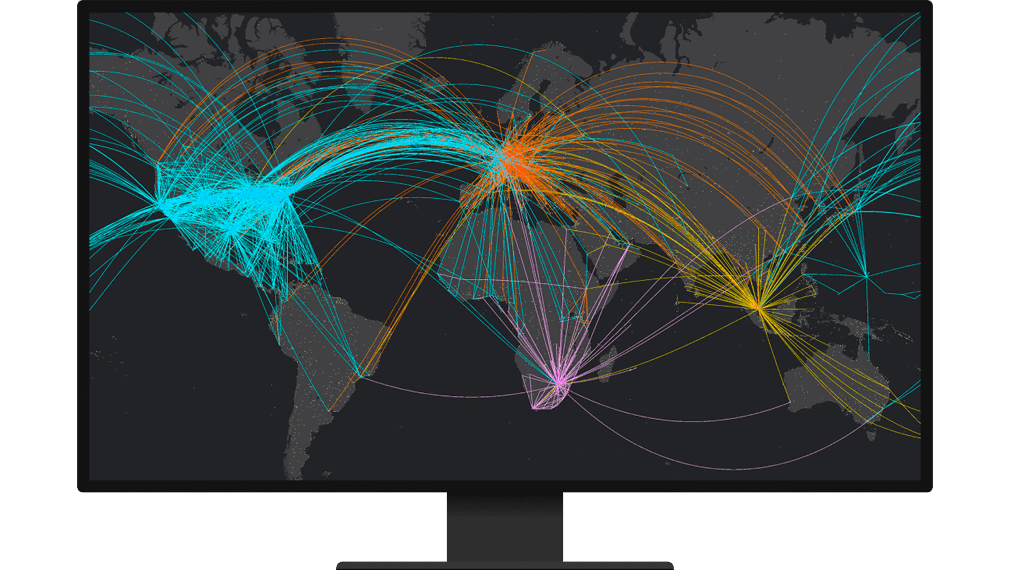
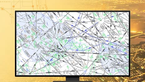
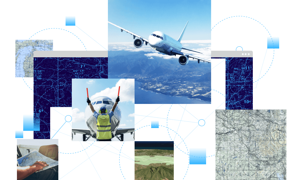
Aviation Charting is a data-driven system with a data model that organizes features, attributes, metadata, symbology rules, labeling properties, and validation checks in a central geodatabase. It automates aeronautical charting workflows and streamlines how data updates are reflected on all related products, allowing you to produce charts more efficiently.