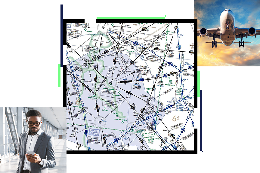
A stronger foundation for authoritative aviation information
Aviation organizations leverage Esri's geospatial platform to:
- Effectively manage their aeronautical information and products.
- Deliver safe and efficient operations at airports.
- Reduce the impact on the environment, wildlife, and pollution with tools to collect, map, analyze, and monitor flight traffic data.

Aviation strategies
Modernizing the national airspace system
Location plays a critical role in today's modern air traffic network, supporting both the regulatory and operational requirements of aviation organizations. Today's organizations need to be responsive, provide trusted data, operate with peak efficiency, and interoperate with all stakeholders.

Responsive
Ensure that your organization can be responsive to the dynamic nature of aviation.
Authoritative
Deliver timely and trusted information to your internal and external stakeholders to foster collaboration.
Efficient
Become more efficient in aligning staff, processes, and technology as greater demands are placed on the air traffic system.
Open and interoperable
Support innovation with ArcGIS—an open, flexible, and interoperable platform. Esri supports open standards for data, services, and metadata.
Aviation webinars and events
Aviation organizations need to stay up-to-date with the latest aviation modernization trends, technology, and information. Attend one of these informative webinars or speak to one of Esri’s aviation industry experts at an event.

Our community
Find out how your peers are using Esri technology to achieve their goals.


