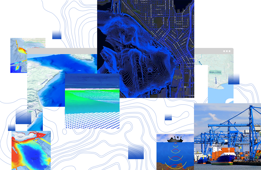
Bathymetry GIS
Unlock the power of a GIS-based system and take advantage of its many capabilities, including analysis, visualization, and serving data for charting and other needs.

Geo-enable your bathymetric data
An extension for ArcGIS Pro
Unlock the power of a GIS-based system and take advantage of its many capabilities, including analysis, visualization, and serving data for charting and other needs.
No need to learn complex data management. Bathymetric datasets are left in their original storage location(s) and are managed from one central point, eliminating the need for data duplication or increased data storage.

ArcGIS Bathymetry offers tools that allow you to define custom metadata associated with your data. This streamlines access to data and enables quick filtering and sorting of archives to generate models of the seafloor.

ArcGIS Bathymetry is deployed on already established desktop and enterprise systems and does not require significant infrastructure changes. Data can be exchanged across various visualization and hydrographic software packages and across organizations.

Integrate bathymetry archives with other geospatial information to generate unique information products, including sea-level-rise models, flood hazard maps, and habitat models. Produce nautical products based on survey date or survey vintage, resolution, zone of confidence, or any other custom combination of criteria.

A complete bathymetry GIS for compiling and publishing your data.
Unique and intuitive user interfaces and geoprocessing tools address the bathymetric data management needs of beginners and advanced GIS users.
ArcGIS Bathymetry allows you to visualize multiresolution and multitemporal data simultaneously for applications such as change detection analysis.
Use the Bathymetry toolbox, along with other tools in ArcGIS, to perform various analyses.
ArcGIS Bathymetry creates mosaic datasets that can be disseminated as static rasters or published as image services to be visualized on the web.
Deploy a bathymetric data management system on existing ArcGIS infrastructure that already conforms to your IT security protocols.
Benefit from a full system by adding ArcGIS Maritime to your portfolio.
Enable data modeling, terrain and surface analysis, and visualization with ArcGIS 3D Analyst, a fully functioning 3D GIS.
Take advantage of data visualization, advanced analysis, and much more with ArcGIS Pro, a next generation desktop GIS.

GIS for ocean

Mapping the ocean

Satellite-derived bathymetry

Maximizing hydrospatial data for port operations