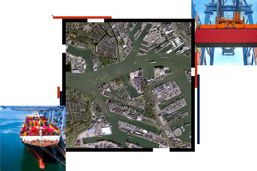
Ports Thrive with Smart Technology ebook
Ports are critical to our global supply chain and need to meet high demand while operating safely and sustainably. GIS provides ports with a methodology and technological foundation for gaining a new level of optimal performance. Discover how ports can leverage GIS to enhance efficiency and make more strategic infrastructure investment decisions.

Port business areas
Previous
Next
Upcoming event
Esri User Conference | July 13–17, 2026 | San Diego Convention Center | San Diego, California

Our community
Find out how your peers are using Esri technology to achieve their goals.


