
Conservation
Protecting biodiversity with GIS
Unlock conservation science and safeguard biodiversity with conservation solutions
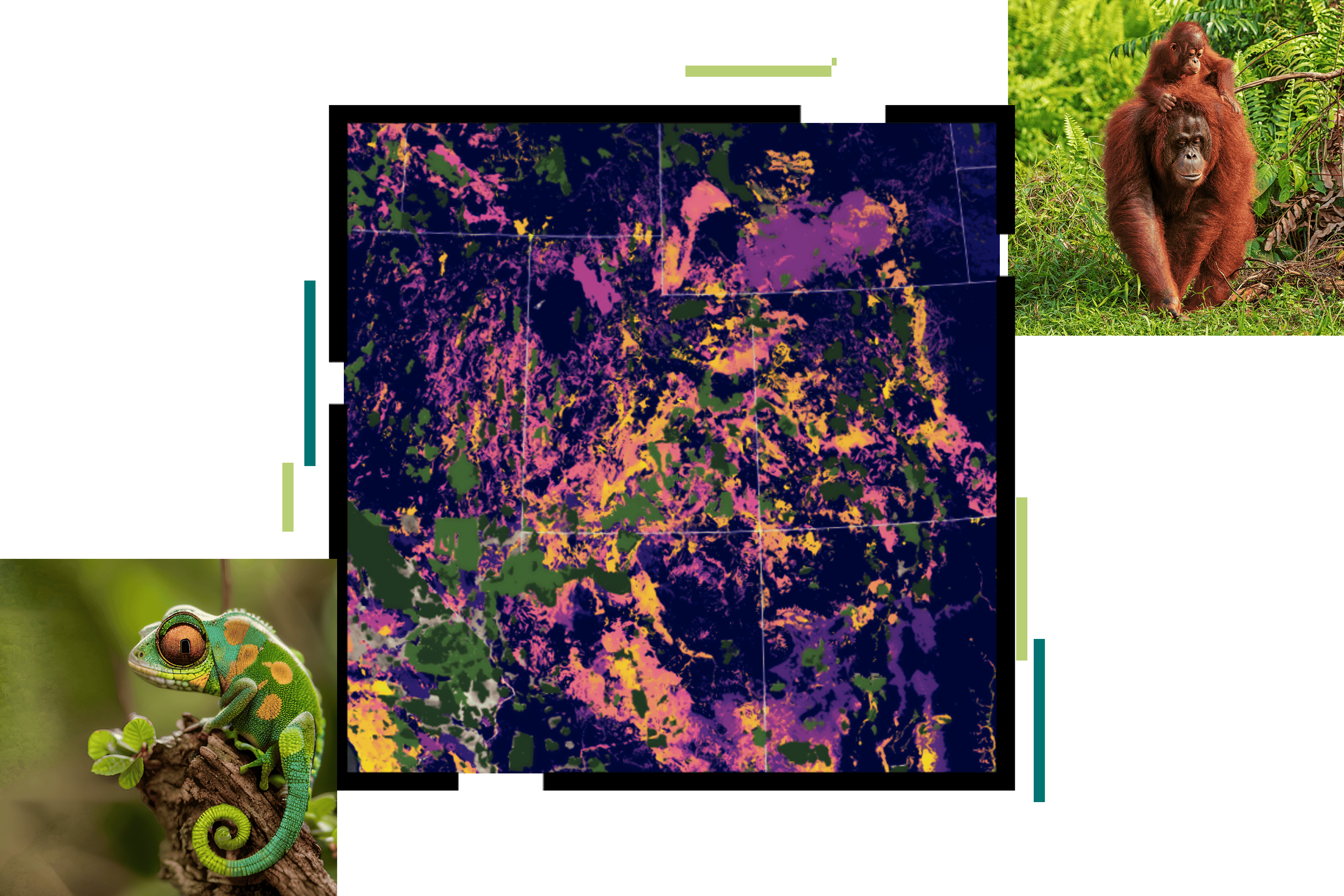
A geographic approach to conservation science
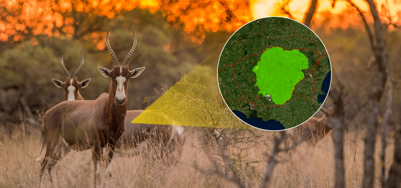
Conservation professionals are enriching biodiversity conservation efforts with maps and apps optimized for common management and stewardship workflows. Underpinned with analysis-ready geospatial data, GIS helps conservationists:
- Gain insights into complex environmental challenges.
- Understand the interdependencies of native species and human activity.
- Manage operations effectively and compile impact reports.
- Anticipate and mitigate threats from climate change and unmanaged development.
Conservation strategies
Previous
Next
Conservation technologies
Esri’s geospatial software, ArcGIS, provides a comprehensive set of technology solutions for efficient, science-backed conservation programs.
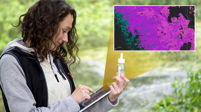
Observe
ArcGIS offers integrated mobile apps for planning, conducting, and analyzing field observations with integrated workforce management tools to take your mobile work to scale.
Organize
Manage vast datasets with ease in secure cloud or hybrid data stores to power real-time dashboards of conservation operations, enhanced with content from the vast ArcGIS Living Atlas of the World.
Analyze
Discover new conservation dynamics through modeling our natural world with the most comprehensive and open set of analytical methods and spatial algorithms available.
Collaborate
Accelerate effective partnerships and public engagement with shared maps, apps, and stories to inform broad and transparent conservation initiatives working to address wicked problems.
Upcoming event
Join colleagues and peers in San Diego, July 15–19, 2024, for the 2024 Esri User Conference. Learn, reconnect, and take a deep dive into the latest advances in geographic information system (GIS) technology.

ArcGIS tutorials
There are numerous pathways to build up your ArcGIS expertise. ArcGIS tutorials are modular, self-paced training exercises that focus on specific conservation methods and technologies. For a more formal instructor-led experience, the Esri training team offers traditional virtual and in-person courses. Esri training consultants provide complimentary planning services to identify options that will best meet an organization's immediate, short-term, and long-term workforce training needs.
Our community
Stay updated on the good work taking place in the conservation GIS community supporting life on earth. Learn how organizations are creating high-impact conservation science programs and biodiversity preservation efforts with innovative GIS applications.

Esri Conservation Program
For more than three decades, the Esri Conservation Program has provided technology and training assistance to conservation professionals around the globe.