Geospatial reference
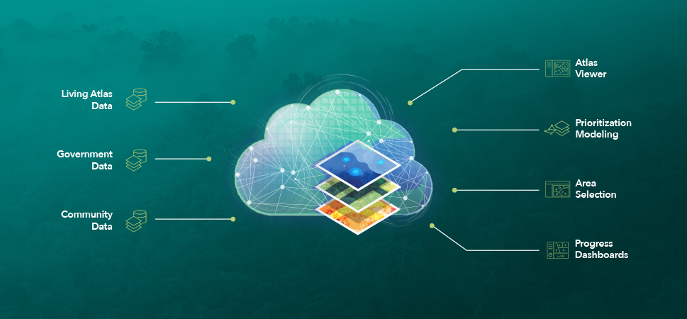
Geospatial professionals from leading institutions publish their spatial data in ArcGIS Living Atlas of the World. This vast catalog of authoritative maps, apps, and data layers provides a global canvas for modeling landscape conservation scenarios.


