Community-Based Conservation

Empowering community planning and action

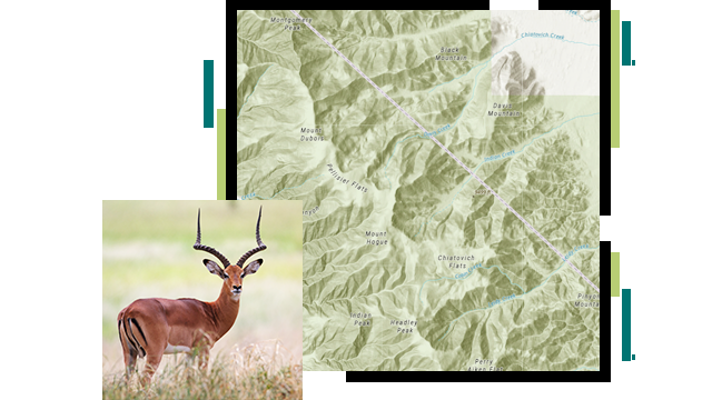
A green and white contour map of a mountain range, overlaid with a photo of an antelope standing alert in a sunny green field

As humankind's impact across the planet drives massive disruption to the natural resources that sustain life, communities and local people around the globe are mobilizing to become better stewards of the world around them. Adaptive community-based conservation planning is a local-level approach that helps community members better understand the importance of nature and protected areas, and leads to informed sustainable actions.

Community-led conservation at the Jane Goodall Institute

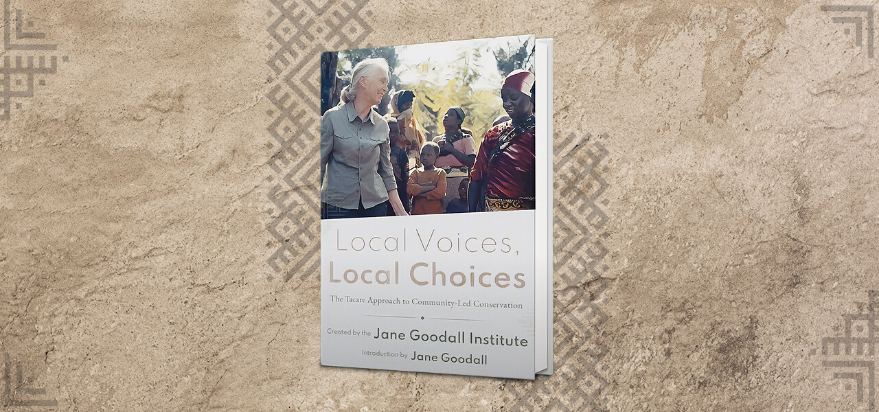
Local Voices, Local Choices: The Tacare Approach to Community-Led Conservation is an immersive journey into the efforts of Dr. Jane Goodall and her colleagues to genuinely understand communities' needs. They collaboratively developed local and sustainable strategies to improve the well-being of both the community and the natural world around them. Told through the authentic voices of Goodall's team at the Jane Goodall Institute (JGI), the book shares insights on effective and empathetic approaches to community-based conservation informed by GIS conservation planning.

Explore details
A copy of the book “Local Voices, Local Choices” lying on a rough light brown surface printed with geometric gray tribal patterns

How JGI puts people at the heart of conservation

The Jane Goodall Institute's community-based conservation approach, called Tacare, started in 1994 as a project around Gombe National Park in Tanzania, where Goodall led her pioneering research on wild chimpanzees. Tacare encourages local community and government partnerships that create sustainable livelihoods while planning for and advancing environmental protection.

This approach achieves conservation goals and addresses threats by first consulting communities about their needs and priorities. Then, stakeholders work together to collaboratively plan for and implement land-use practices that support the community's own development, while also contributing to conservation.
Read the story
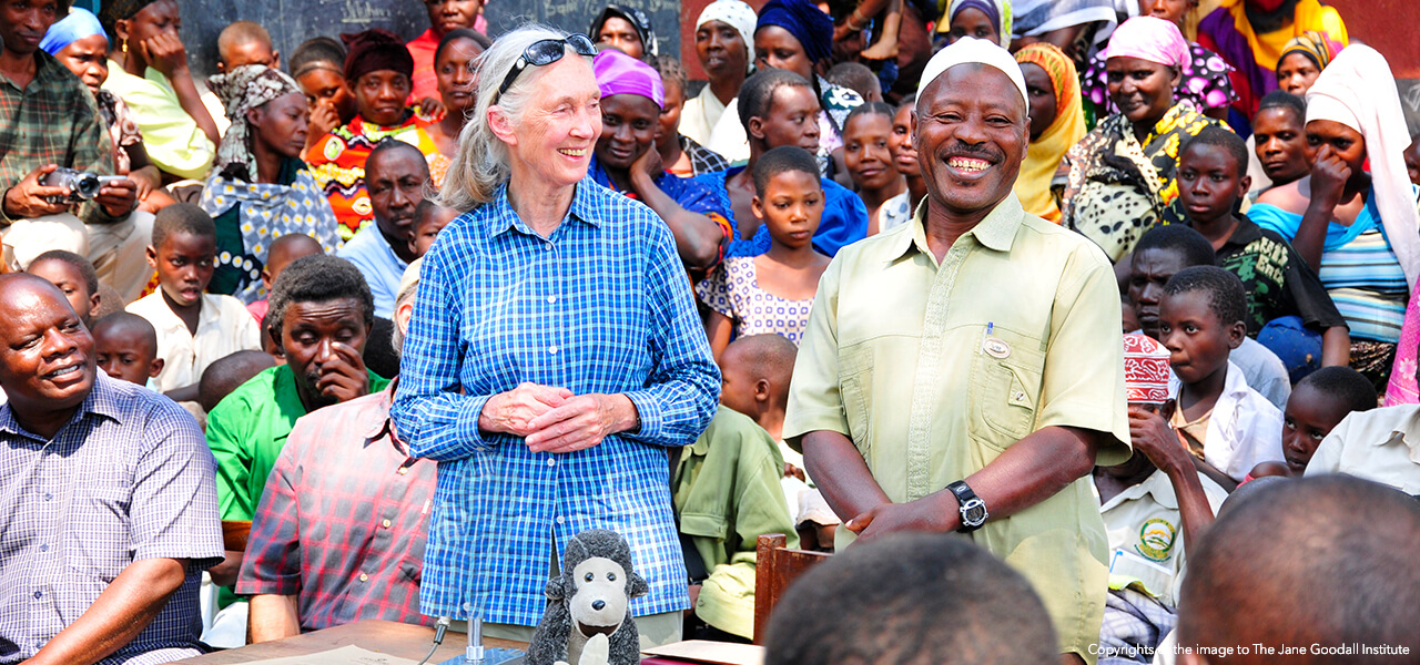
Jane Goodall in a blue shirt standing outside beside a smiling man in a green shirt in the middle of a large colorful crowd of people

Community conservation podcasts

Discover conversations on community-based conservation from global experts on the Esri and The Science of Where podcast

Previous
Next

Community-based conservation apps


Through a collaboration with leading conservation organizations working to advance community-based conservation, Esri has developed a collection of apps and learning resources to empower community-based conservation efforts around the world.

Wildlife Sightings

Enable citizen science with this collection of web and mobile applications. The apps allow community members to report animal sightings from a smartphone, manage all sighting information, and report other wildlife information and trends in support of community decision-making.

A red fox standing on a forest floor strewn with red and brown leaves

Community Context

View community context information such as community landmarks and boundaries, lands and waters used by communities, and areas with wildlife and natural resources with this web application.

Four brightly dressed people carrying bundles on their heads walking in a line through rich green undergrowth

Community Sketching

Assemble a community map from stakeholders with this collection of web and mobile applications. The apps enable sketching of landmarks, areas, and pathways important to community members, allowing all stakeholders' interests to be represented in community conservation activities.

Two casually dressed people sitting back-to-back in a grassy field, each with a laptop in their laps, the one on the right peering over her shoulder to speak to the other

Stakeholder Information

Manage community stakeholder engagement with this collection of web and mobile applications. The apps enable community conservation organizers to collect, manage, and report on community stakeholder engagement and trends in support of community decision-making.

A group of smiling women wearing saris walking through a field of tall green crops beneath a clear blue sky

Community Conservation Hub

Explore community-based conservation apps and training resources designed to empower communities with ArcGIS software-based solutions for better understanding the natural world around them and engaging stakeholders to develop sustainable conservation actions.

A young person wearing glasses and a yellow sweater smiling as they look at a laptop monitor
Explore app details

Esri Blog

Helping rhinos thrive in the wild

Learn how a passionate student modernized black rhino monitoring at Imire Rhino & Wildlife Conservation reserve to provide real-time shared awareness.

Read the blog

Esri Conservation Program

For more than three decades, the Esri Conservation Program has provided technology and training assistance to conservation professionals around the globe.

Apply now

Connect with the Esri conservation team