
New Web Services Show Flood Impact for the First Time
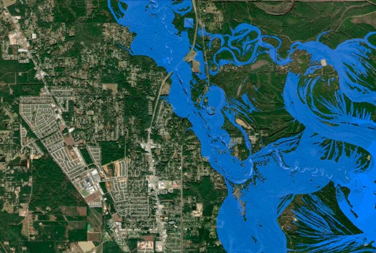
Until now, it has never been possible to see—quickly and through widely available maps—how floods might play out across the United States. In collaboration with Esri, the National Water Center, part of the National Oceanic and Atmospheric Administration (NOAA), has released a series of web services via ArcGIS Living Atlas with detailed maps of flood inundation for the entire country. This information will be available several days ahead of major weather events.
Esri Introduces ArcGIS for ServiceNow
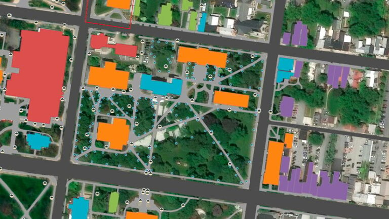
A new integration between ArcGIS and ServiceNow lets users incorporate location intelligence directly into everyday business workflows. ArcGIS for ServiceNow allows users to visualize and analyze operational data—including incidents, permitting, facilities, and work orders—in ArcGIS maps and apps, as well as within ServiceNow via maps powered by ArcGIS. Users can share data across both platforms without duplication and take action within their existing systems.
New High-Resolution Imagery for 2,000 Cities
Esri signed new agreements with Vantor, Airbus, and Nearmap to enhance the World Imagery basemap, the most widely used map service in ArcGIS. Vantor continues to provide the global imagery foundation for World Imagery, including refreshes for hundreds of cities and upgrades to 15-centimeter high-definition imagery in select major urban areas. Airbus is delivering 30-centimeter imagery with more current and detailed visual context to ArcGIS users worldwide. Nearmap’s 20-centimeter vertical imagery will be integrated and regularly updated across 200 metropolitan areas in the United States, Canada, Australia, and New Zealand.