When Lived Experience Can Help Others
Pat Dolan was instrumental in getting utilities to embrace enterprise GIS. After a devastating diagnosis, he pivoted to patient advocacy.
Pat Dolan was instrumental in getting utilities to embrace enterprise GIS. After a devastating diagnosis, he pivoted to patient advocacy.
With the organization’s people and operations dotting the globe, ArcGIS deployed across the enterprise is key for knowledge management.
Monitoring network adequacy involves large datasets and complex calculations to confirm that health care is within reach for all members.
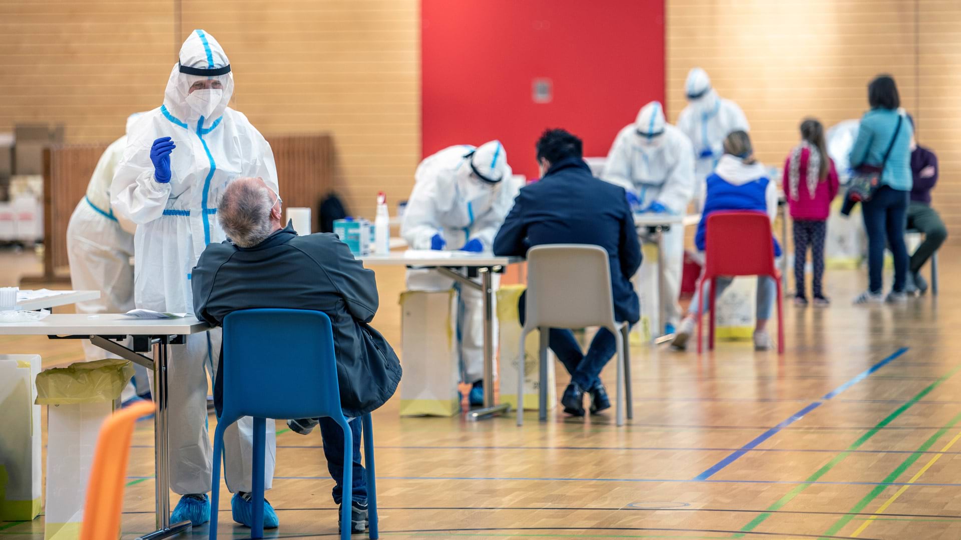
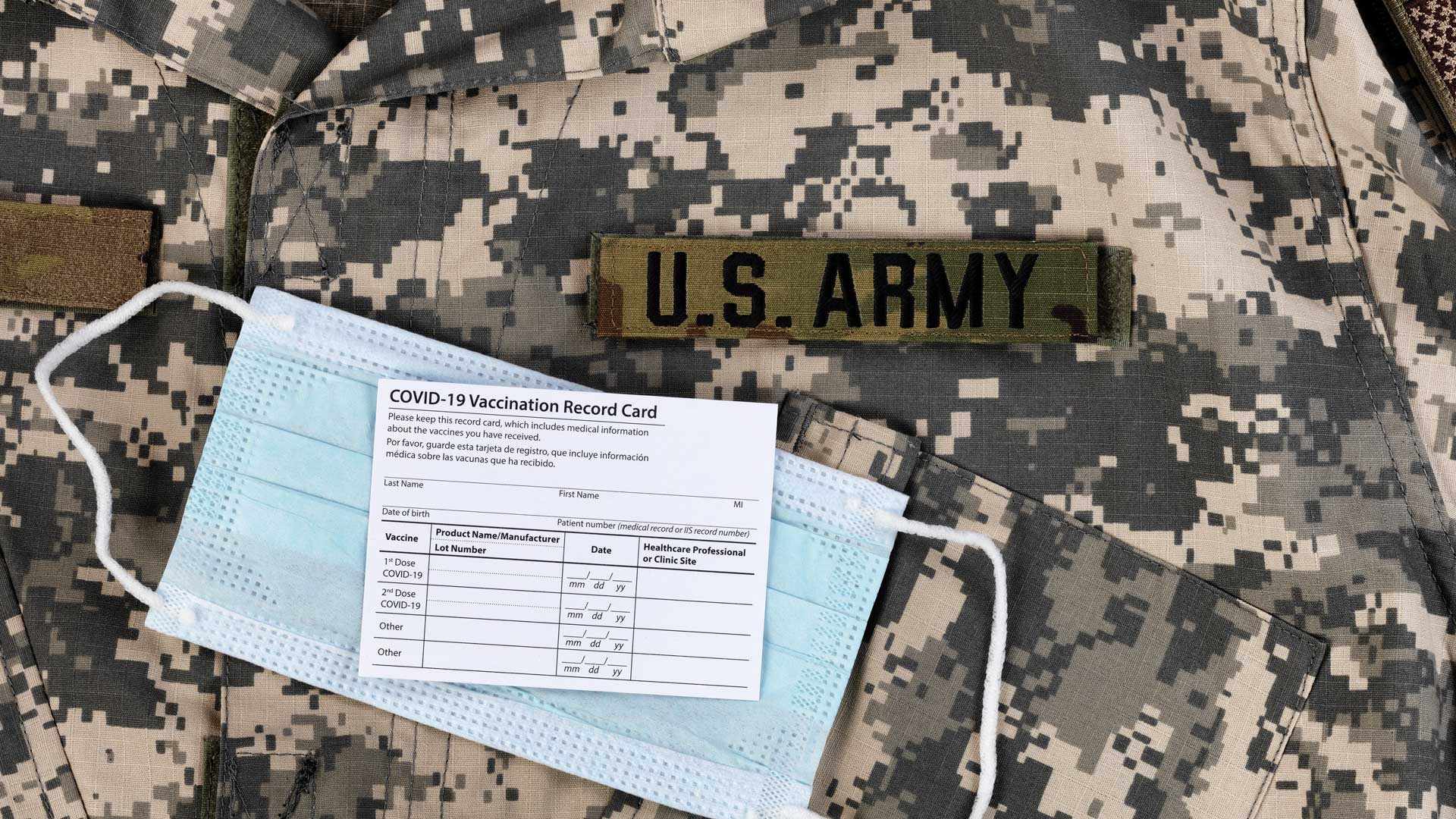
At a swiftly organized mass vaccination clinic, an ArcGIS Survey123 form and two dashboards helped monitor critical operations.
The recent increase in awareness of global health needs inspired Esri to strengthen its commitment to public health around the world.
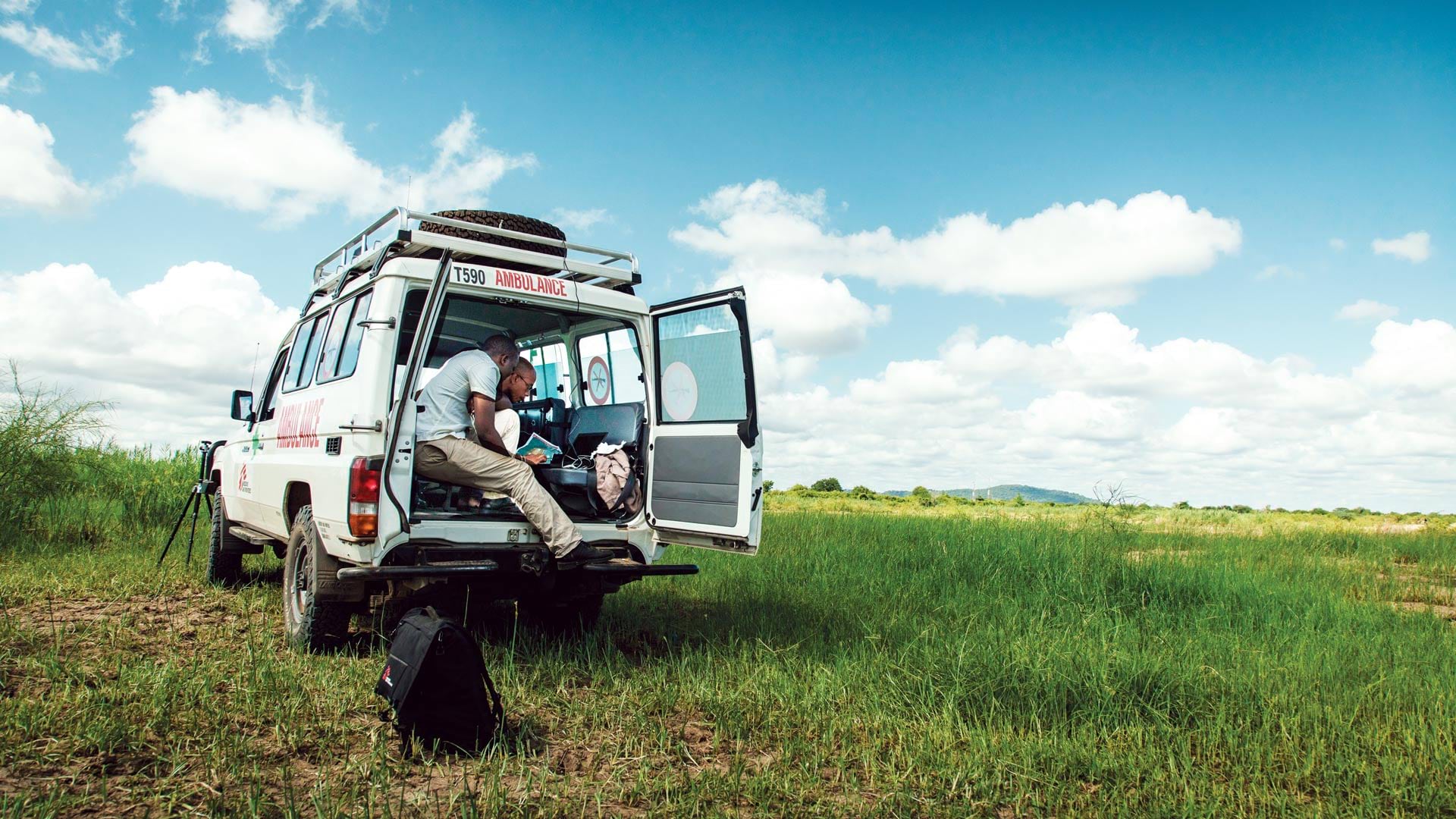
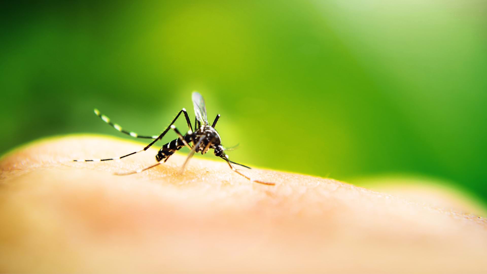
Zambia’s ministry of health uses geoenabled maps to help distribute insecticide-treated mosquito nets and indoor residual spray.
Interactive web maps let site visitors analyze poverty, childcare deserts, and health-care access to better aid youth in South Carolina.
The social and environmental characteristics of the communities where patients live can be used to inform future treatment options.
During the baby formula shortage, Mothers’ Milk Bank used ArcGIS Business Analyst to engage with parents in need and find more donations.
A detailed dashboard showed leaders where COVID-19 infections would spike next and, later, where more people needed to be vaccinated.
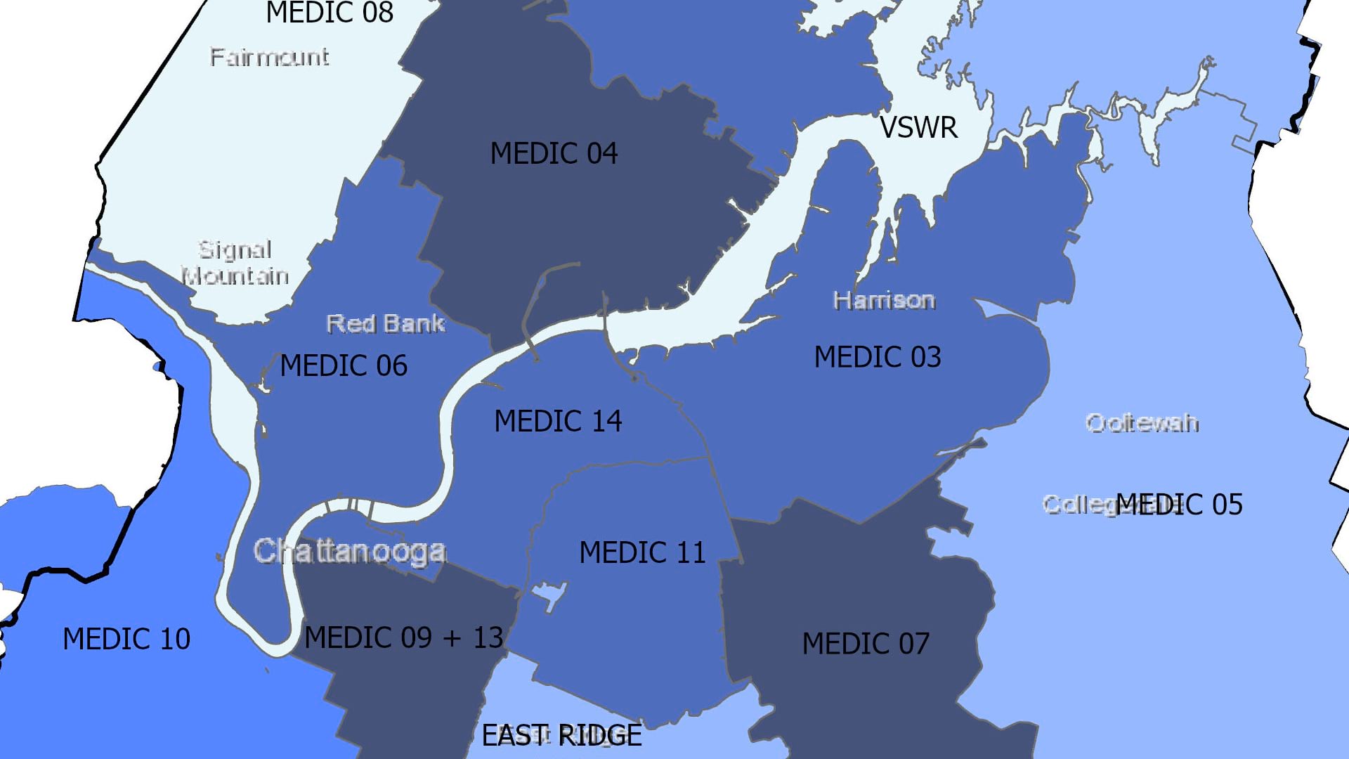
In Hamilton County, Tennessee, a research team used GIS to determine the most effective way to distribute naloxone kits among EMS stations.
Esri’s chief medical officer, Este Geraghty, explores how to prioritize public health versus individual well-being or economic hardship.