Ethical GIS Starts with Committing to the Locus Charter
How should GIS managers address ethical obligations to individuals and societies? With a GIS Code of Ethics.
How should GIS managers address ethical obligations to individuals and societies? With a GIS Code of Ethics.
Cuyahoga County, Ohio, has convinced 59 different entities—each with its own priorities—to adopt a collaborative geospatial ecosystem.
In emergency management, success isn’t about how much data gets processed; it’s about how well others see what GIS can do.
GIS is a leadership advantage. Leaders at all levels must embrace its potential and integrate GIS into every facet of decision-making.
Develop a personal kanban—a productivity method that shows, visually, work that’s not started, work that’s underway, and work that’s done.
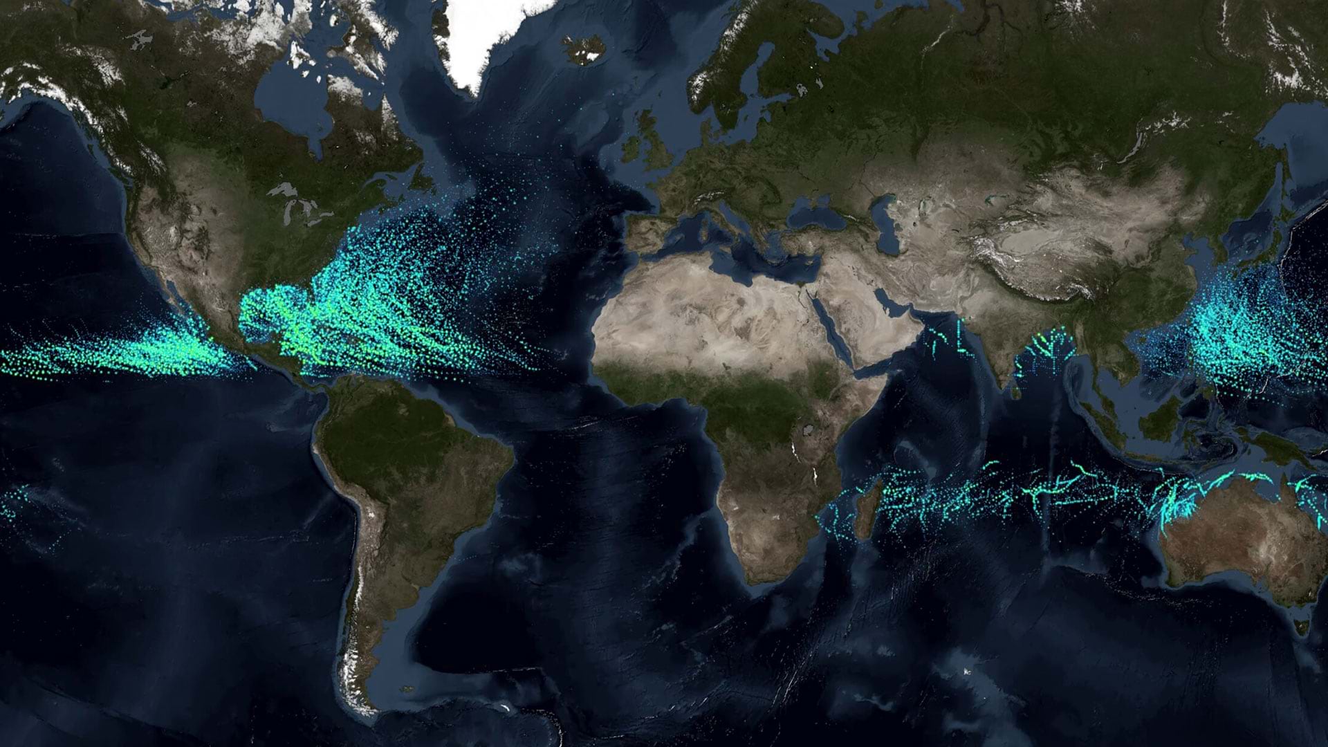
To better serve the global geospatial community, the organization is broadening its mission.
Retention establishes continuity, reduces the need to retrain, and allows employees’ capabilities build on one another.
The cities of Frisco and Rockwall in Texas developed GIS-based systems to aid emergency response and share health inspection scores.
While GIS is similar to other IT systems, it deals with spatial data. This adds a layer of complexity that must be considered.
The ArcGIS Architecture Center helps IT professionals make sure that their organization has the right resources for ArcGIS infrastructures.
An experienced data analyst provides tips and best practices for managing GIS workflows.
Join URISA’s Policy Advisory Committee, which monitors policies making their way through governments and often influences outcomes.