Nautical Charts Go Digital with Help from GIS
Hydrographic offices are starting to move away from making traditional paper charts and more toward producing charts on demand.
Hydrographic offices are starting to move away from making traditional paper charts and more toward producing charts on demand.
Esri is working closely with hydrographic offices around the world to modernize their maritime mapping systems using GIS.
Esri platform selected to chart Danish waters, ArcGIS Hub meets new federal open data requirements, and ArcGIS for Developers is relaunched.
When new data becomes available, Ordnance Survey Ireland can automatically refresh its map products and services with minimal human intervention.
Named user credentials give you a unique, secure identity on the ArcGIS platform.
Jack Dangermond discusses how current GIS trends will make smarter cities.
United Nations Statistical Commission endorses program to develop a statistical-spatial framework for integrating statistical and geospatial data
As part of the February 2015 update to ArcGIS Online, Esri introduced an exciting new capability: Smart Mapping.
The July update to ArcGIS Online includes a number of enhancements and new features to make it easier to use.
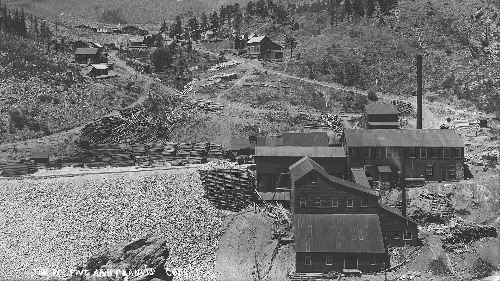
With lidar and ArcGIS Spatial Analyst, accurately documenting the archaeological elements at an old Colorado gold mining town.