For Hurricane Helene, Implementing ArcGIS Quickly Changed Response Efforts
After struggling to gain an understanding of the situation, the South Carolina National Guard deployed GIS to assess damage and clear roads.
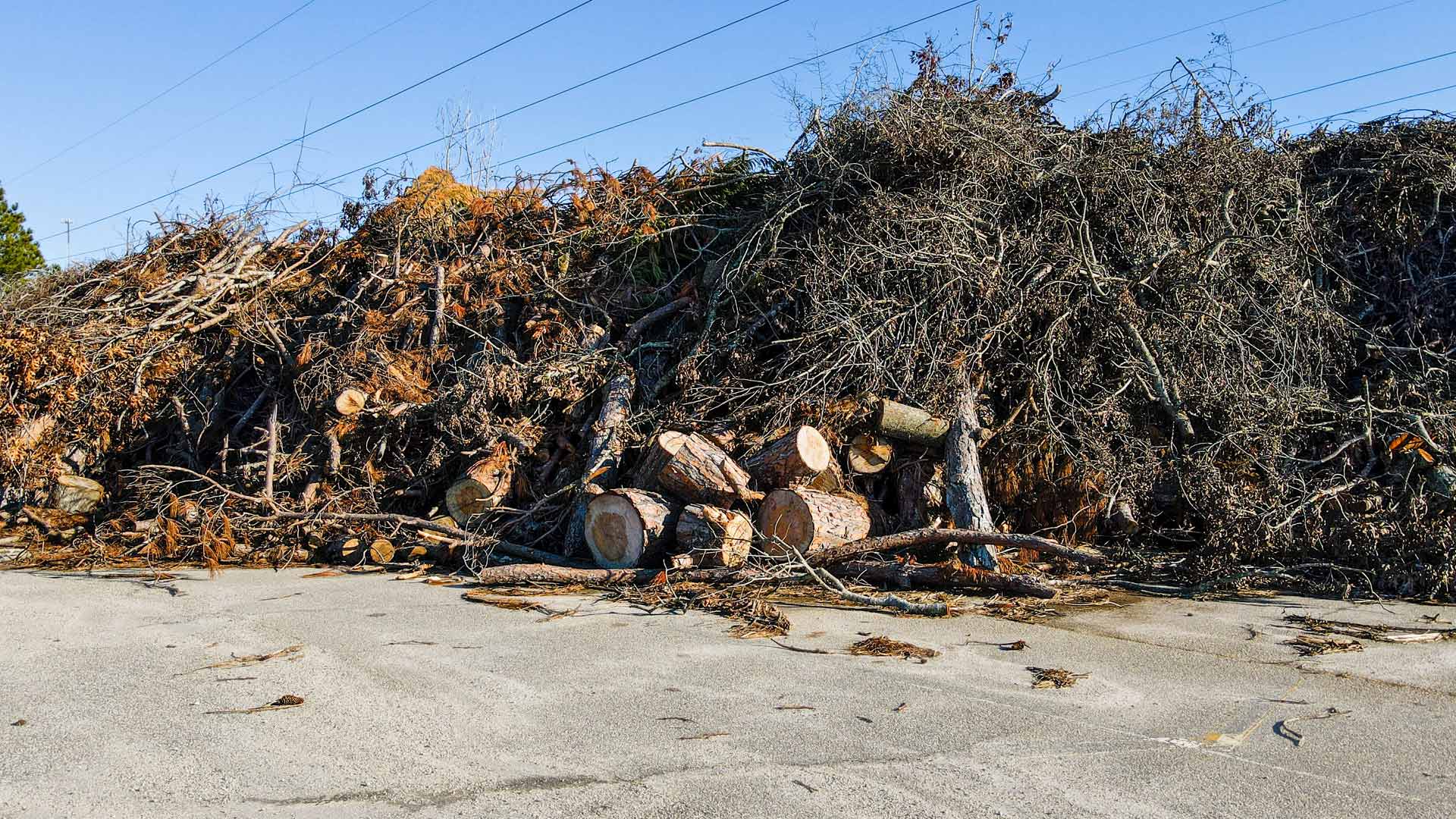
After struggling to gain an understanding of the situation, the South Carolina National Guard deployed GIS to assess damage and clear roads.
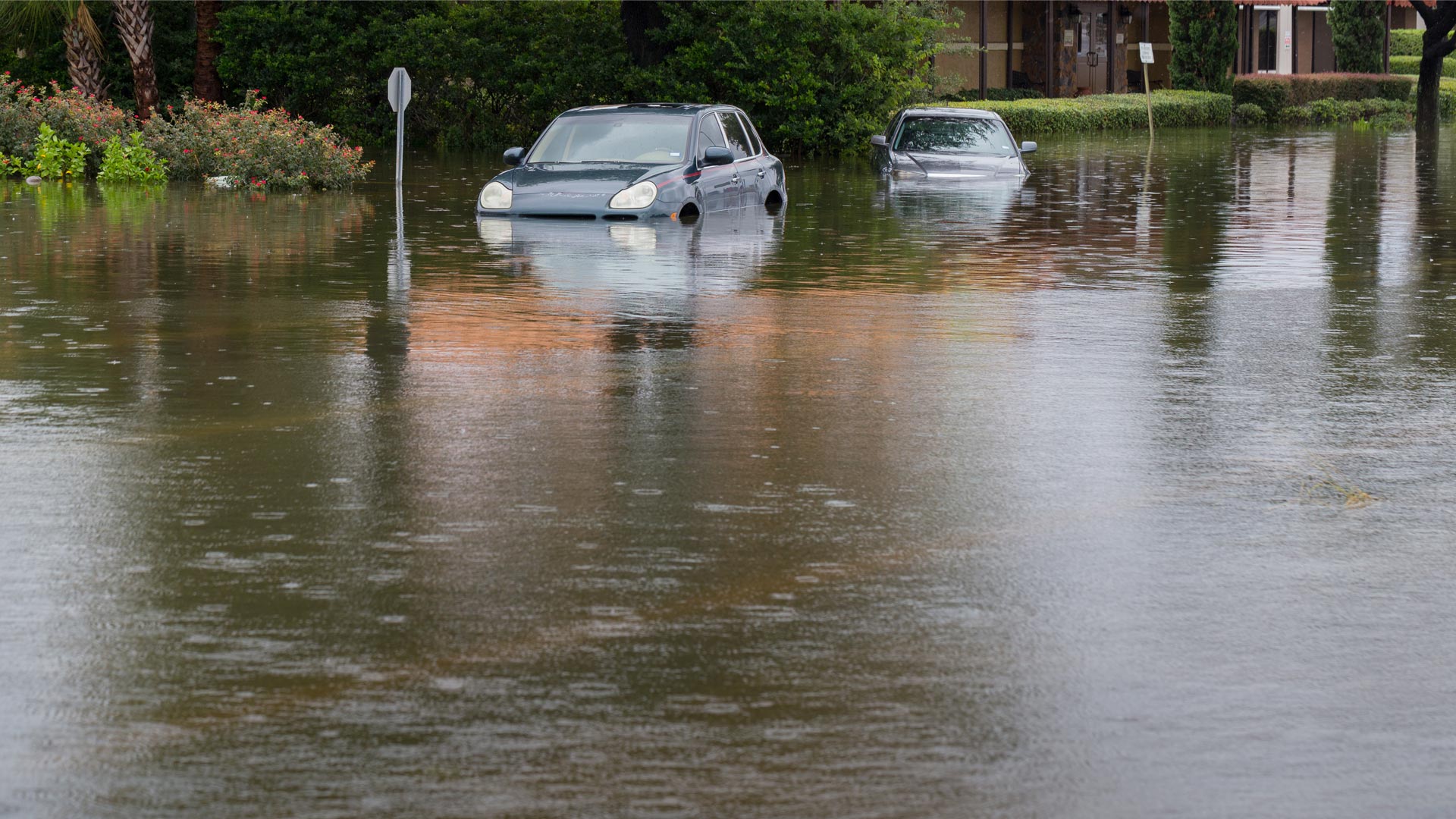
When every second counts, having the most powerful tools before, during, and after flooding is integral to community safety.
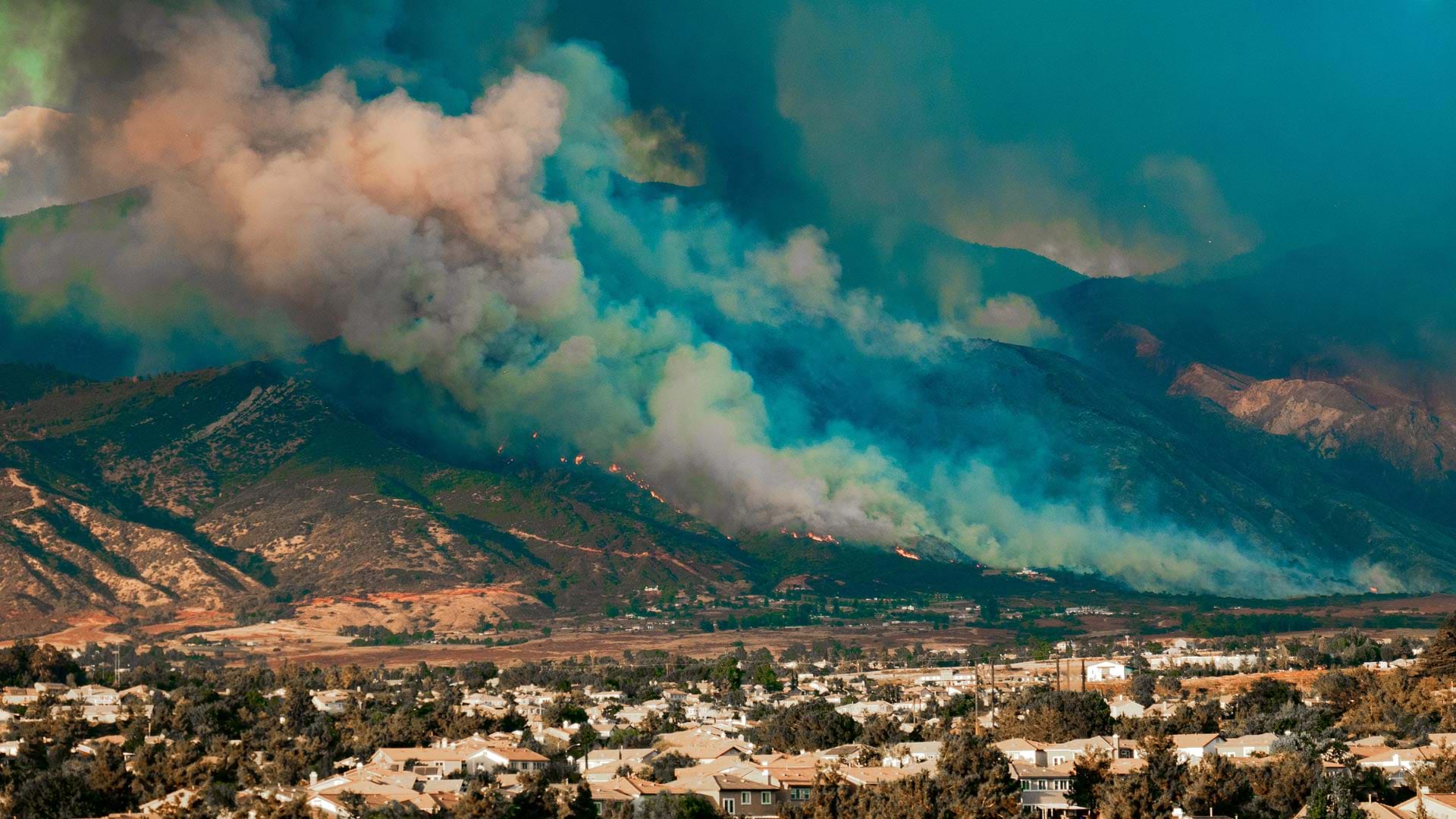
ICEYE’s radar imaging can see through smoke, clouds, and at night. In Los Angeles, it helped disaster response agencies get a head start.
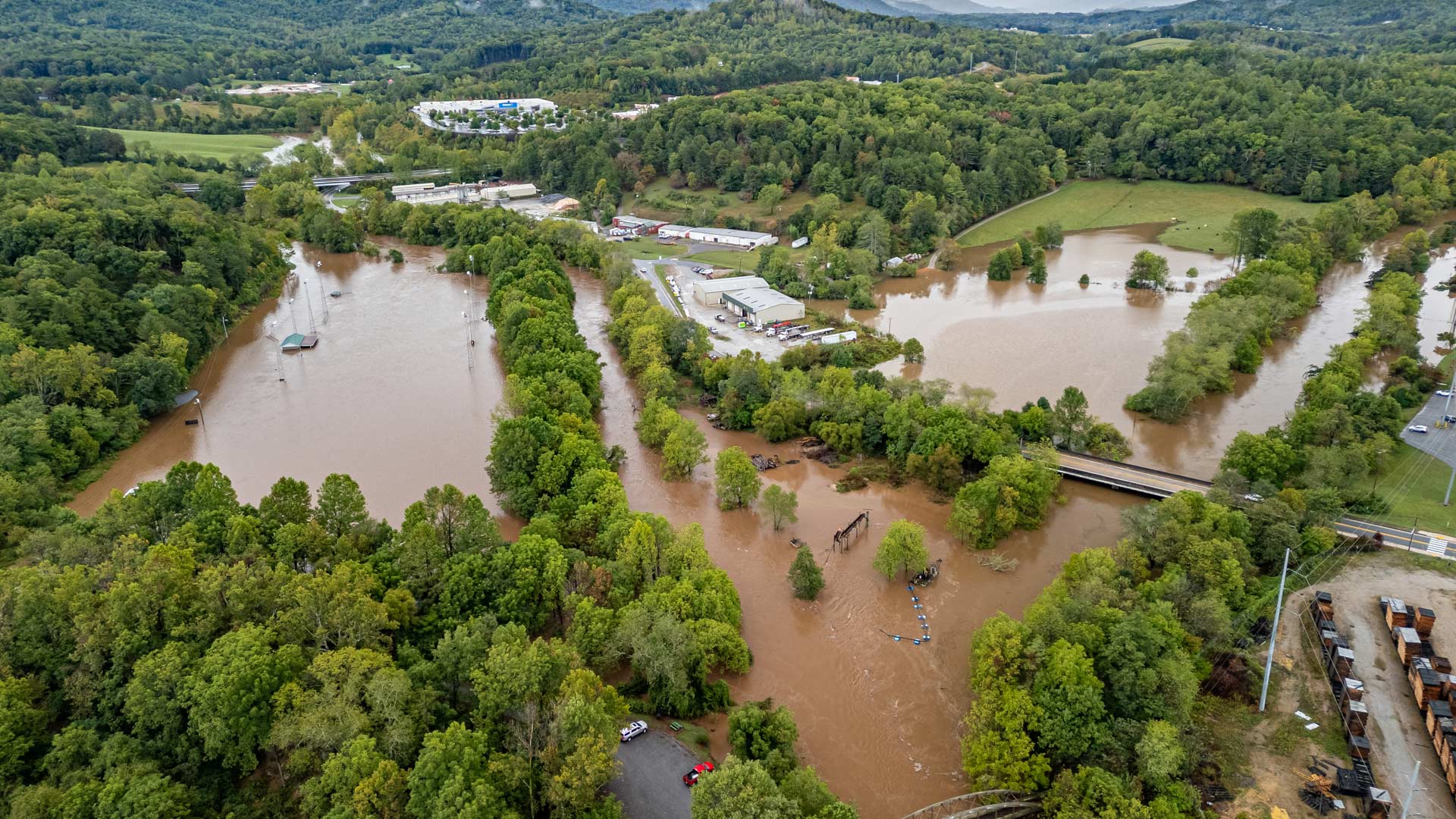
With help from Esri’s Disaster Response Program, agencies predicted flood risk, mapped isolated communities, and shared travel restrictions.
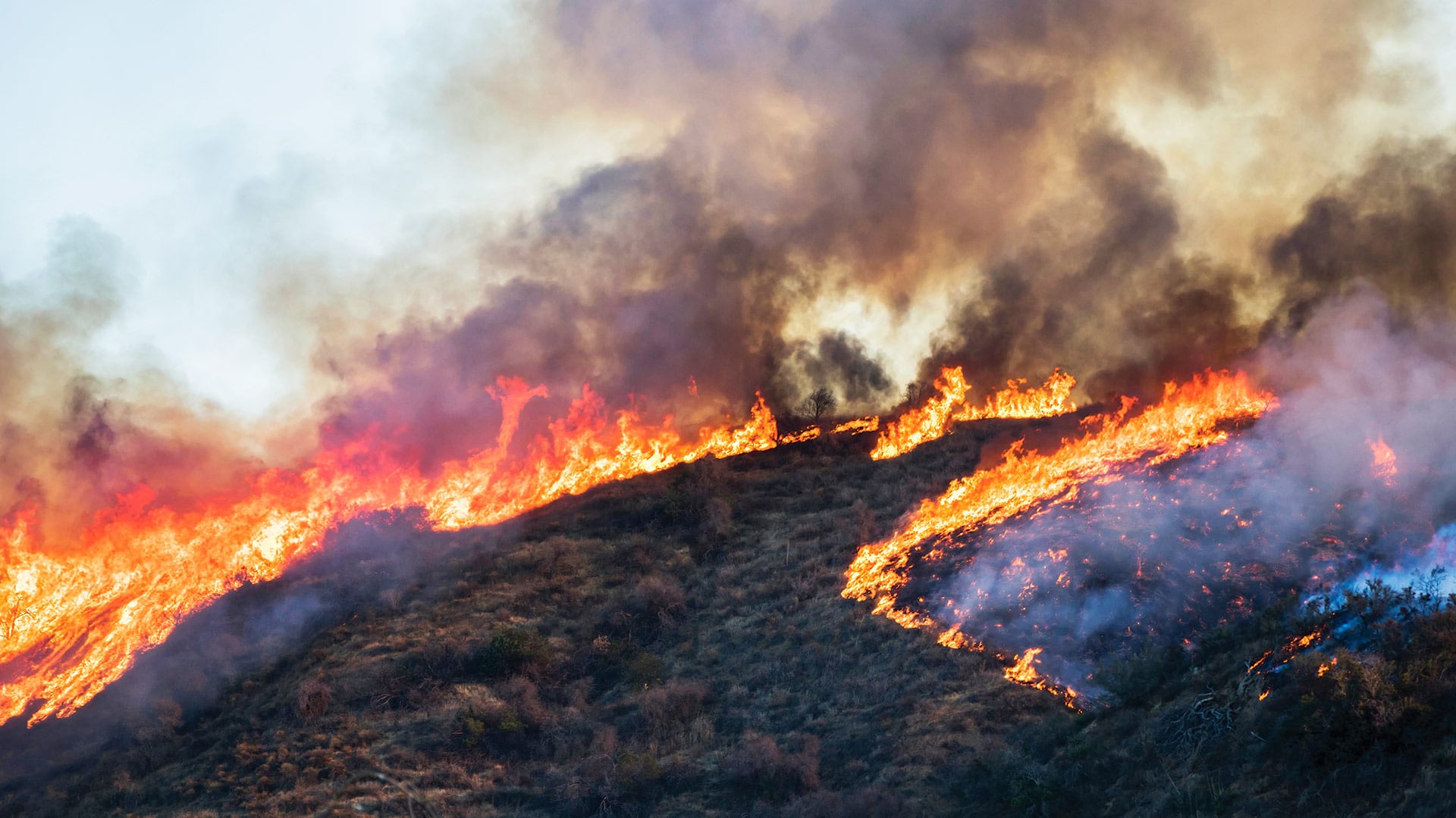
ArcGIS Field Maps, ArcGIS Experience Builder, ArcGIS Hub, and more help community members get more engaged in wildfire risk mitigation.
Crisfield, Maryland, has high flooding risk. A digital twin, built with ArcGIS technology, is helping to assess flood adaptation strategies.
Following a catastrophic wildfire, a California town turned to GIS to rebuild and improve its stormwater system.
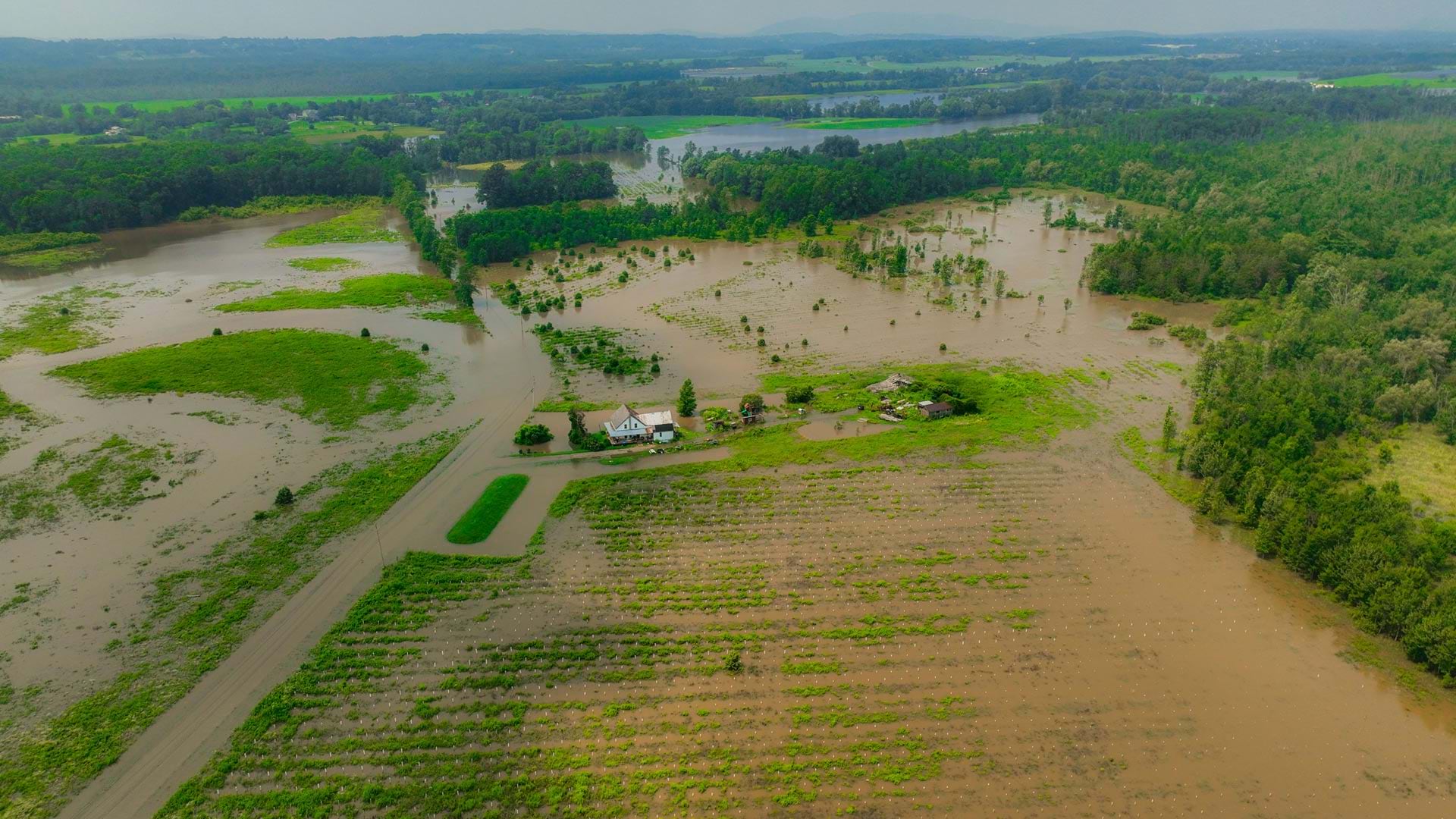
A team at the University of Vermont’s Spatial Analysis Laboratory employed GIS tools and drones for flooding disaster response in July 2023.
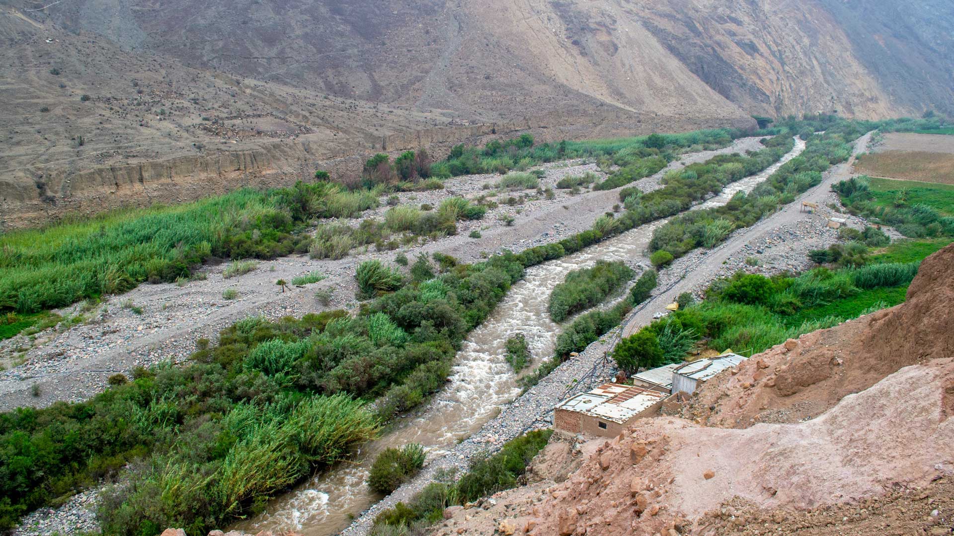
GIS-based 3D models are helping the Peruvian government rebuild public infrastructure after widespread flooding and plan for the future.
ArcGIS Video Server makes it easier for organizations that gather video content to seamlessly integrate this with all their other data.
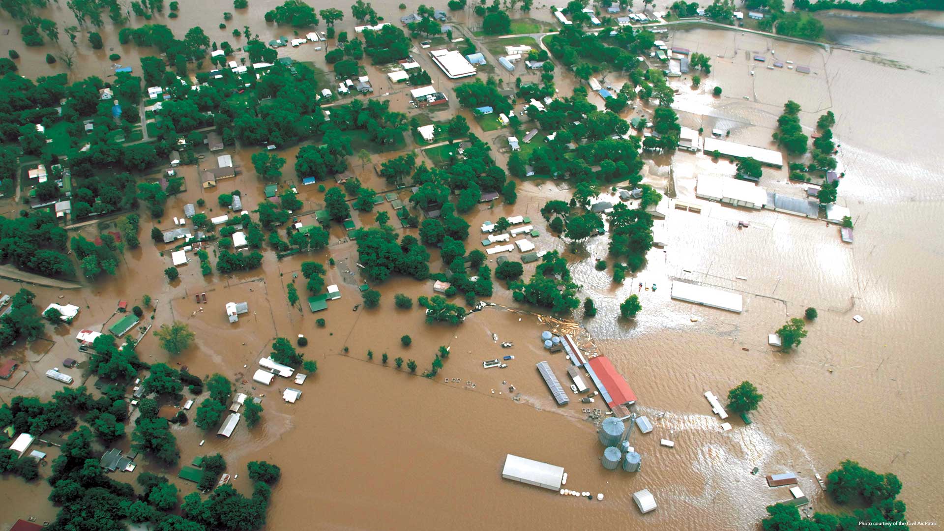
After historic floods in 2019, the Department of Emergency Management used a new GIS-based workflow to record and report damage.
The National Science and Technology Center for Disaster Reduction used 3D GIS to put together a war game simulation for flooding.