Rebuilding a Public Health Data System on a Spatial Foundation
With enterprise GIS and the power of location intelligence, the Adams County Health Department responds rapidly to community-specific needs.
With enterprise GIS and the power of location intelligence, the Adams County Health Department responds rapidly to community-specific needs.
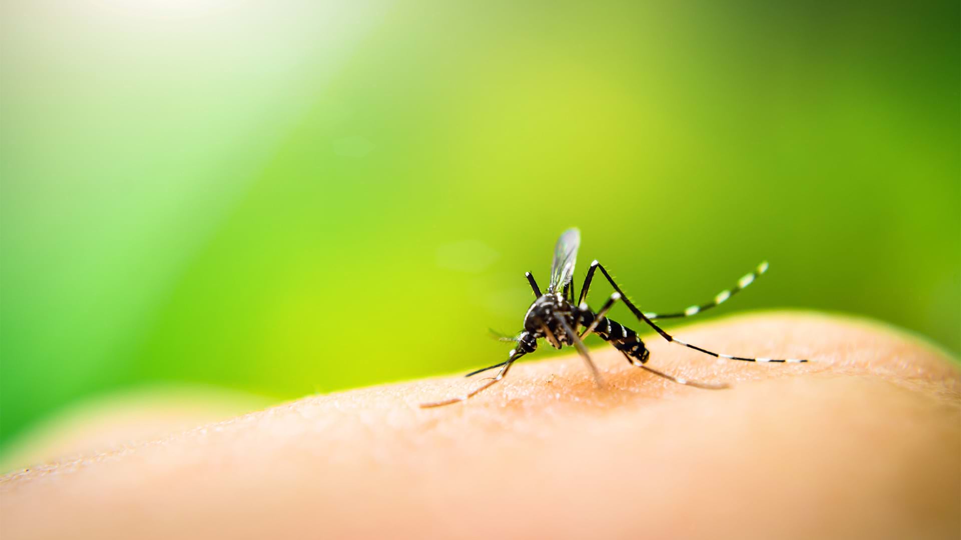
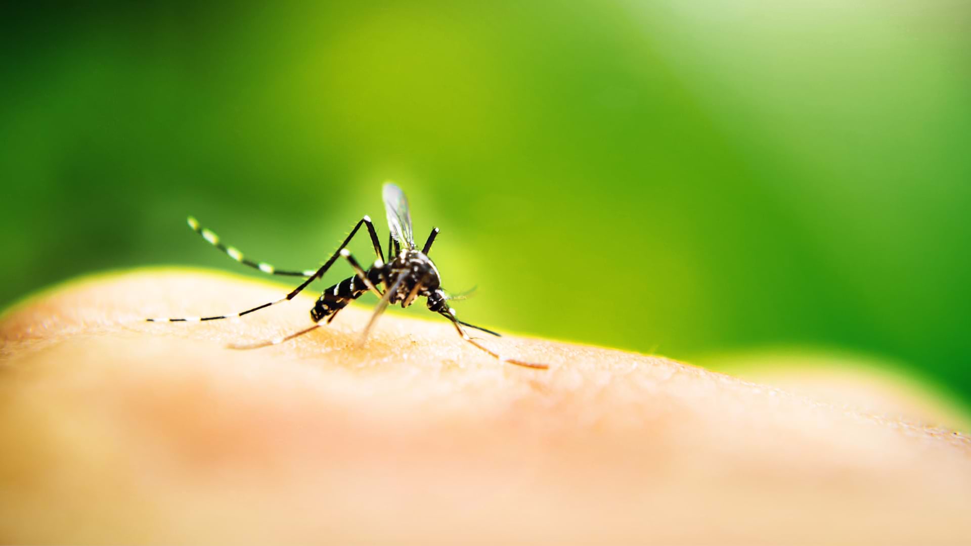
ArcGIS provides the foundation for the mosquito suppression program, which tracks when and where dengue transmission has occurred.
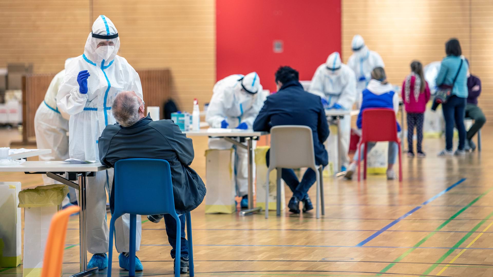
At a swiftly organized mass vaccination clinic, an ArcGIS Survey123 form and two dashboards helped monitor critical operations.
To track the actions that cities and counties are taking to tackle racism, Mapping Black California is using GIS and blockchain technology.
With a focus on GIS training, the New Jersey Department of Environmental Protection uses a wide range of GIS applications.
The US Food and Drug Administration is using GIS to collect data on foodborne illness risk factors in US retail food service facilities.
Sightsavers, an Esri Nonprofit Program participant, is using GIS to fight infection-based vision loss.
The recent increase in awareness of global health needs inspired Esri to strengthen its commitment to public health around the world.
Zambia’s ministry of health uses geoenabled maps to help distribute insecticide-treated mosquito nets and indoor residual spray.
DashFLUboard allows users to monitor wild bird migrations and connect outbreaks of Highly Pathogenic Avian Influenza (HPAI) around the world.
Using ArcGIS Pro and ArcGIS Online, Food Rescue Hero developed a new way to provide fresh food to tens of thousands of people in Pittsburgh.
Interactive web maps let site visitors analyze poverty, childcare deserts, and health-care access to better aid youth in South Carolina.