For New Stadium Build, Drone Technology Keeps Sustainability On Track
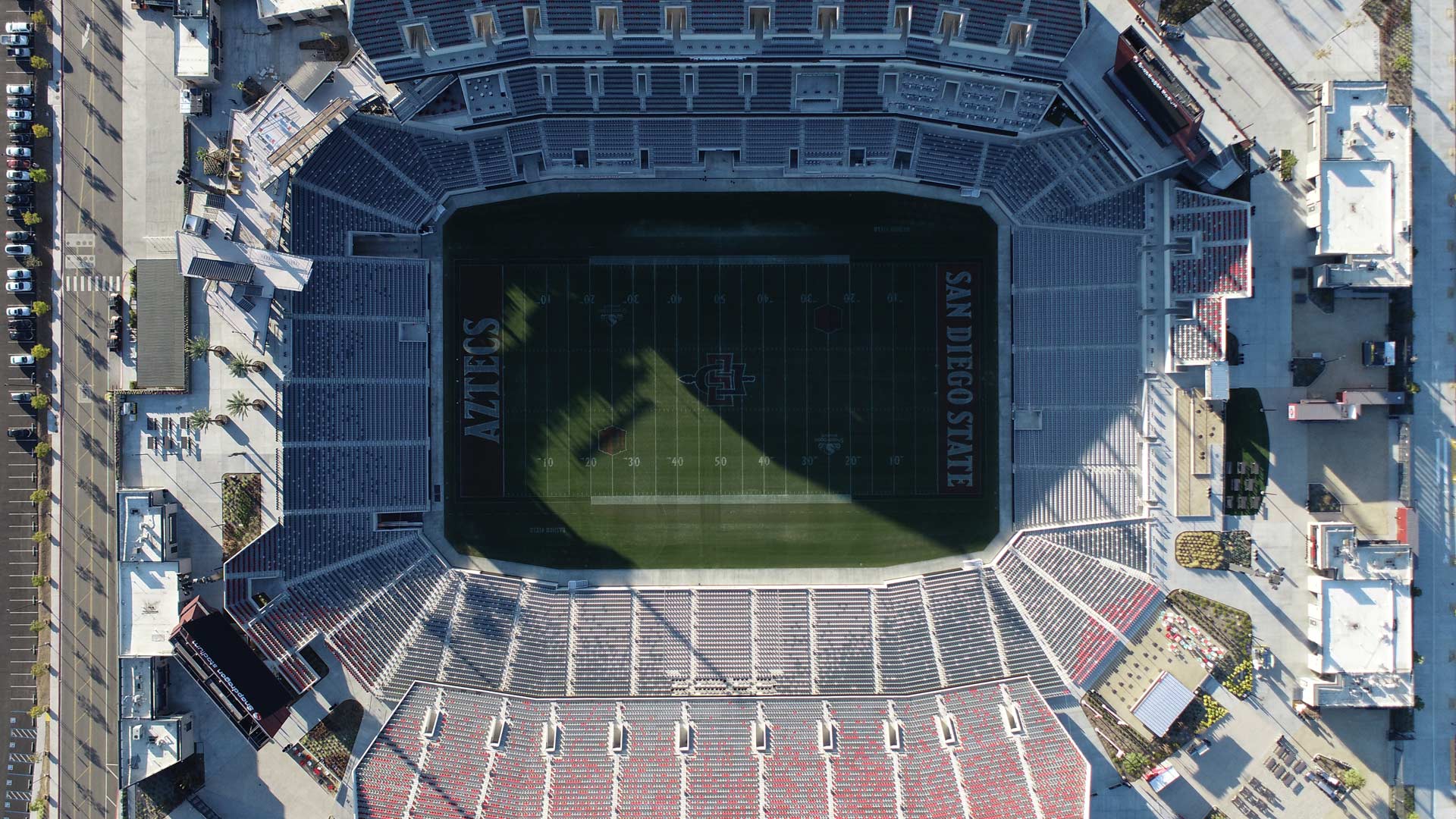
The project involved recycling concrete from an old stadium to use at the new venue. Site Scan for ArcGIS was key to monitoring materials.
The project involved recycling concrete from an old stadium to use at the new venue. Site Scan for ArcGIS was key to monitoring materials.
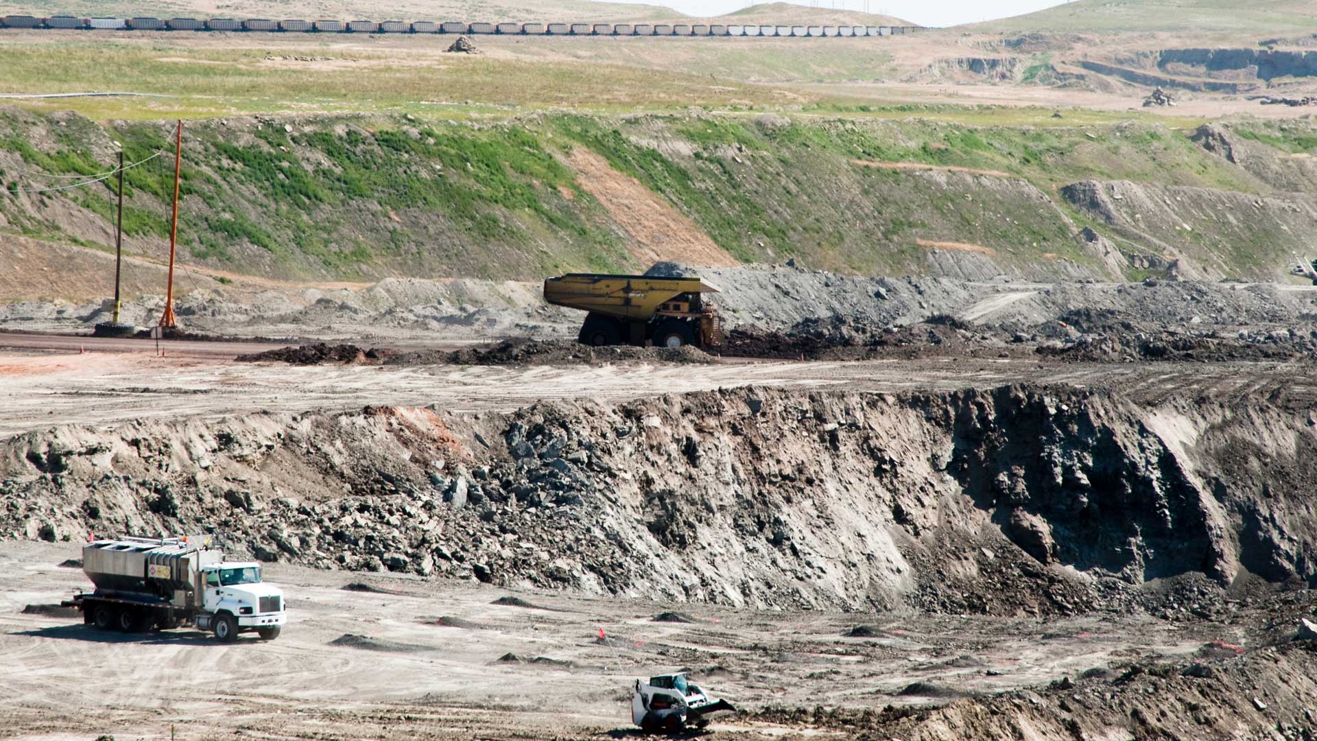
Brierley Associates uses Site Scan for ArcGIS to quickly process imagery and produce visualizations that protect the integrity of the land.
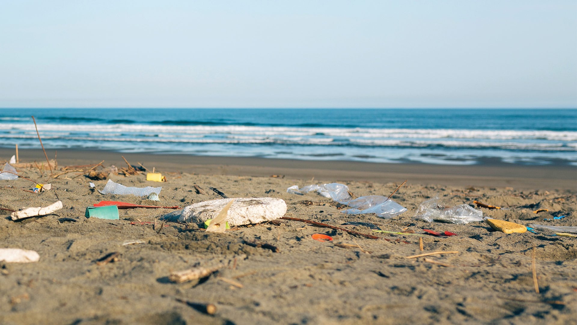
The San Francisco Estuary Institute worked with partners to develop an automated workflow for validating trash monitoring methods.
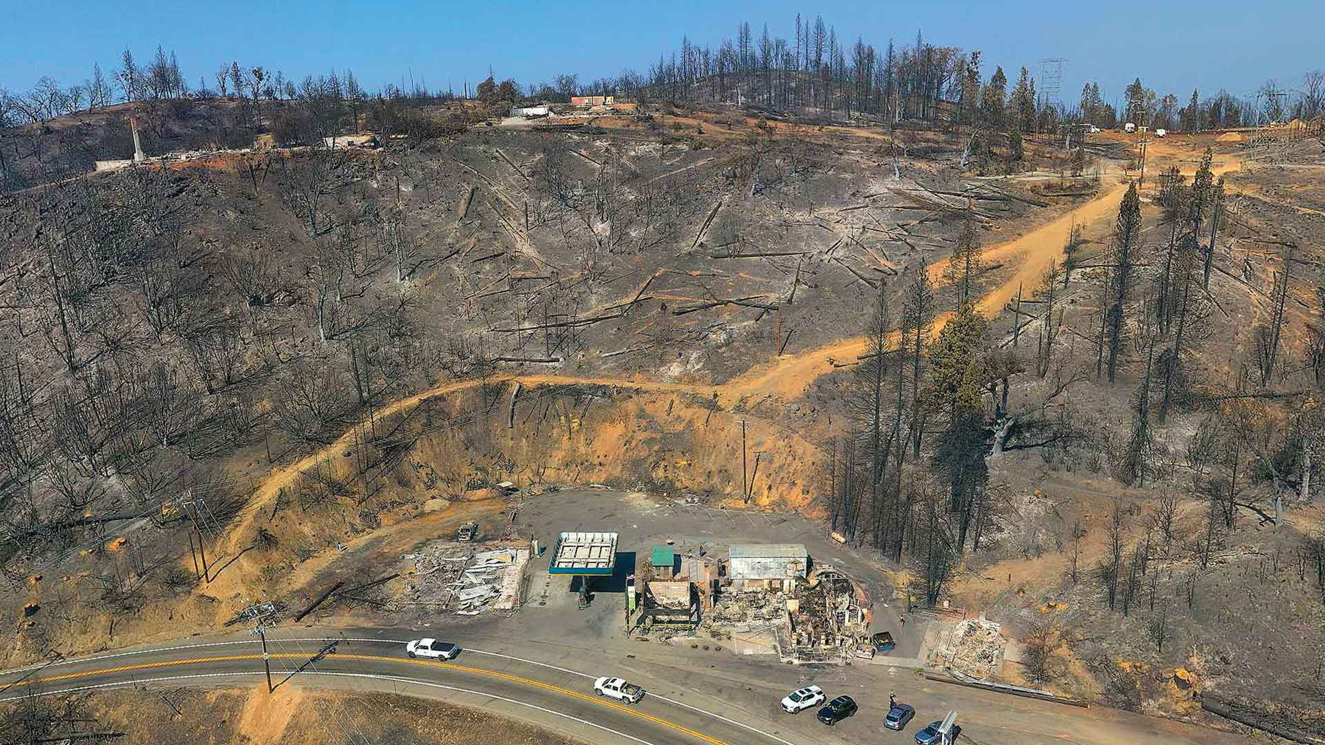
Law enforcement working on California wildfires tasked Esri partner and geospatial consulting firm GeoAcuity with obtaining aerial images.