Metro de Medellín Builds an Intelligent Asset System with ArcGIS Enterprise
Colombia’s second-largest mass transit system has saved millions of dollars by using advanced GIS to manage its real estate.
Colombia’s second-largest mass transit system has saved millions of dollars by using advanced GIS to manage its real estate.
The extension for ArcGIS Pro helps the Bureau of Aeronautics map airports and their surrounding areas—both on the ground and in the air.
Esri partner ARC-GREENLAB gathered detailed data of the long-abandoned rail link and used GIS to build models for planning and construction.
Claire Yates is the driving force behind Vision Zero Louisville, which envisions zero roadway fatalities in the Kentucky city by 2050.
With solar-powered GPS collars and ArcGIS Velocity, a 3D monitoring system tracks where the animals do and don’t cross roads in Nebraska.
The Move Tucson app allows the public to explore how the city’s transportation plan will change community mobility.
The Massachusetts Department of Transportation now uses Velocity and data from Waze to visualize and act on traffic data in real time.
A Colorado-based railroad management company is maximizing asset value by using ArcGIS Field Maps and a custom GIS app.
A new Vision Zero DC website, built using ArcGIS Hub, helps the city work closely with community members to transform transportation safety.
Thanks to three new data models, capital improvement projects have been streamlined to better meet the airport’s current and future needs.
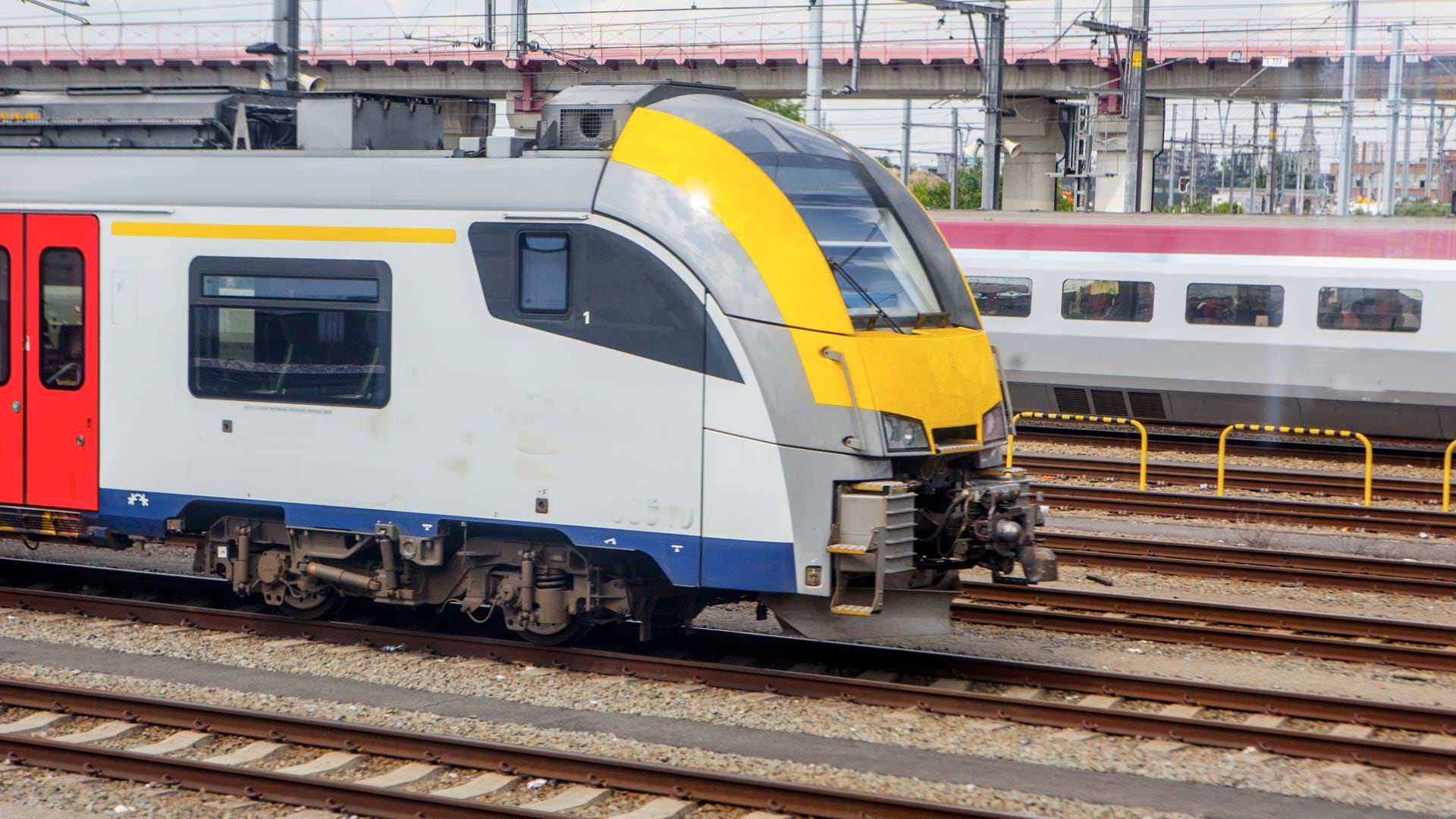
Government agency Infrabel developed two GIS-based apps that track train and worker movements—in some cases, down to the subfoot level.
After inventorying its roads, the city built a network schema to show where pavement needed to be replaced and how much it would cost.