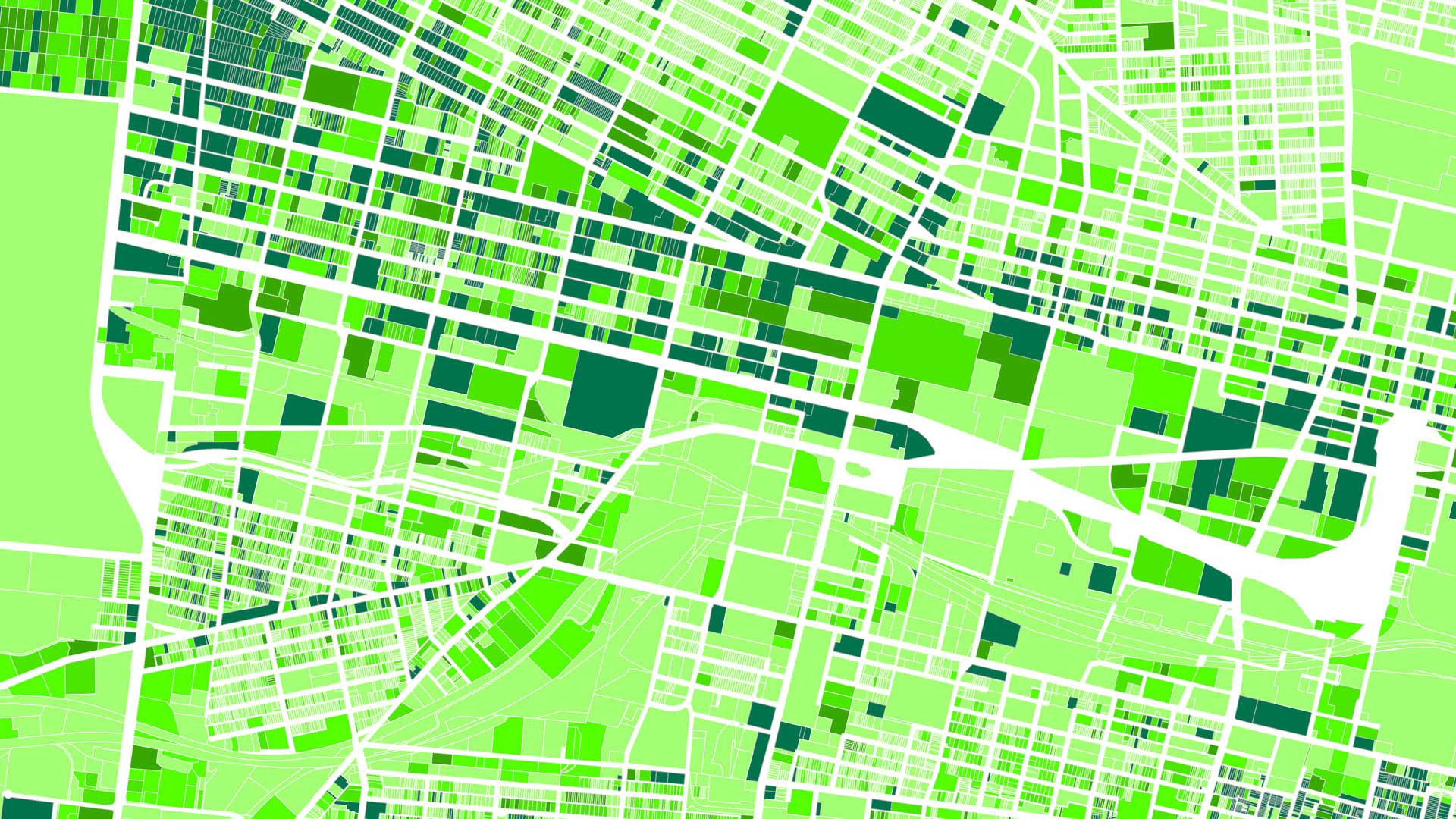
Thanks to online national parcel layer content services, geospatial analysis is getting increasingly granular. In the past, the smallest analytical unit for a demographic map was a census block, which, in the United States, typically consists of about 1,000 households. In a national parcel layer, however, the smallest analytical unit is a single parcel containing one household. Thus, a national parcel layer offers 1,000 times more resolution—on demographic patterns, population density, home sale prices, income levels, and more—than a census block layer.
When it comes to getting a return on investment in using a national parcel layer, it’s still early. Some argue that there is so much to learn about how to use the many attributes linked to parcel boundaries that, 30 years from now, it will still be early.

There is something new on the scene, though: ParcelAtlas FEATURES, a cloud-based cadastral content service in which the whole database, with its 151 million parcels across 2,900 US counties, performs as though the entire nation is a single geodatabase. When a user enters an address on a map, the map zooms to that location, and the geospatial data for the area around that address is fully actionable, with only the parcels visible on the screen being activated.
Codeveloped by Esri partner Team Augmented Reality, Inc., and Boundary Solutions, Inc. (BSI), ParcelAtlas is hosted entirely within ArcGIS Online and is available in ArcGIS Marketplace. The subscription-based service deploys digital parcel map content directly to ArcGIS Online for use in ArcGIS Pro, ArcMap, and other ArcGIS technology. It can also be incorporated into non-Esri products via REST services. BSI makes its best efforts to keep every county’s data current to within a year and updates attributes quarterly.
Having up-to-date parcel layers available for easy use in ArcGIS Online is not only convenient, but it also fundamentally improves the analysis and data services that can be generated using this data. Now, users don’t need to download a national parcel layer content service, mount it, monitor it, and keep it current themselves. Rather, they can just log in to ParcelAtlas to access and use BSI’s always-up-to-date national parcel layer content service, and then wherever they need to go on a map, live data is there.
Accurate, Complete, and Accessible
Since Roman times, the cadastre (i.e., a parcel map and its attributes) has defined the legal, physical, and cultural characteristics of land in service of two main missions—first, to collect taxes, and second, to define ownership. Throughout the centuries, multipurpose cadastre operations have had to meet three requirements: accuracy, completeness, and accessibility.
Regarding accuracy, ParcelAtlas’ metadata includes 18 different metrics that inform subscribers of the data’s qualities and characteristics. ParcelAtlas is also about as complete as it gets, with more than 99 percent of all boundaries available for the United States, along with seamless attribute data coverage. Accessibility is where ParcelAtlas really changes the game, though. In addition to making traditional REST deployment viable, ParcelAtlas delivers fully functional live data on-screen and enables offline data sharing via a Web Feature Service (WFS).


Even though ParcelAtlas is a national parcel layer, users can selectively turn content on or off to tailor its coverage to match their exact needs. Subscriptions are either quarterly or annual, and users can select which part(s) of the country they want access to and how many users they want to register. Additionally, subscribers can choose whether to access IN STOCK parcels only, which consists of 122 million parcels for 1,800 counties across the United States, or expand coverage with IN STOCK ADD, which augments coverage by 29 million more parcels and 1,100 counties.
Apply ParcelAtlas for Emergency Management, Climate Change, and More
The uses for ParcelAtlas are myriad and varied. The following are just some examples of the many ways in which this service can be applied:
- Improving emergency management: Public safety and emergency services organizations can use the national cadastre for everything from flood planning and damage assessment to building up community resilience and fighting forest fires. For instance, insurance companies and banks can use parcel maps to preassess the potential for flooding to strike specific areas as an aggregate value. Local governments can make use of ParcelAtlas’ parcel-specific locations to better coordinate post-disaster debris reporting, while aid organizations and federal authorities can intersect spatial extents with parcel boundaries to expedite recovery operations. Being able to identify parcel-specific locations ensures that critical facilities will be accounted for in an emergency and that evacuation zone notices get sent to the right people. Additionally, during forest fires, the US Forest Service and fire departments across the United States can overlay real-time imagery onto parcel maps to know exactly where they are fighting fires moment to moment.
- Engaging with the community: When people can see the land boundaries for where they live on apps built by their own local governments, it greatly increases their awareness about proposed projects and infrastructural developments and makes them feel like they have some input in the decision-making process. More importantly, being able to analyze such variables as building sale price, assessed value, year built, use code, and/or floor area ratios for commercial, office, and residential properties can greatly complement census block-based demographics, which can give city employees, county staff, and even citizens a broader understanding of the issues and sentiments within a community.
- Generating data models for climate change reversal: For communities and developers that are seeking to engage in climate change-reversing development, it is helpful, for example, for local and regional governments to be able to alleviate residents’ gridlock-causing commutes. One way to do this is to identify the parcels that have both high walkability and public transit scores to locate only those parcels in specific overlay zones. In ParcelAtlas, users simply have to identify all the parcels that can be destinations, such as businesses and government or nongovernmental organization (NGO) offices and facilities; buffer them; count how many destinations and transit stops are within a half mile; and then assign a relative walk and transit score to each parcel. With this, governments and developers know just where to locate live-work housing to eliminate carbon-intensive commutes and traffic jams.
Get Started with ParcelAtlas
Esri users can explore ParcelAtlas by subscribing to the ParcelAtlas FREE layer in ArcGIS Marketplace. This introductory service contains parcel data for six Massachusetts counties, all composed of two bundled layers: a fast-tiled layer for zoomed-out use and a full feature layer for when zoomed in. From there, users can upgrade to the ParcelAtlas FEATURES subscription or the REST Service subscription, used for making custom apps.