ArcGIS Experience Builder, Esri’s newest app builder, empowers users to quickly transform their data into compelling web apps without writing a single line of code. It offers an interconnected environment by taking information, which can be seen in both 2D and 3D, and dynamically integrating it with a range of ArcGIS apps, including web apps, dashboards, map narratives, and surveys.
With Experience Builder, users have the option to focus their apps on one type of content, like a map, or combine and link various types of content, such as text and images, to create a single destination where their audience can view everything. Users can get started with a template or create an experience from scratch, and from there, building an app is easy. Users just choose, drag, position, and configure widgets—including maps, images, text, and tools—and add triggers and actions to make the widgets work together, either within a single page or across multiple pages. If additional customization is needed, developers in an organization can use ArcGIS Experience Builder (Developer Edition) to create their own widgets, templates, and themes.

Experience Builder works seamlessly in ArcGIS Online and ArcGIS Enterprise. This means that any apps created in Experience Builder can leverage all of an organization’s existing content. Experience Builder users can share custom templates with others in their organization and choose how their apps are shared—whether privately within a group or as a landing page for their organization’s website. Furthermore, apps created with Experience Builder are responsive and mobile friendly, so they look great on any device.
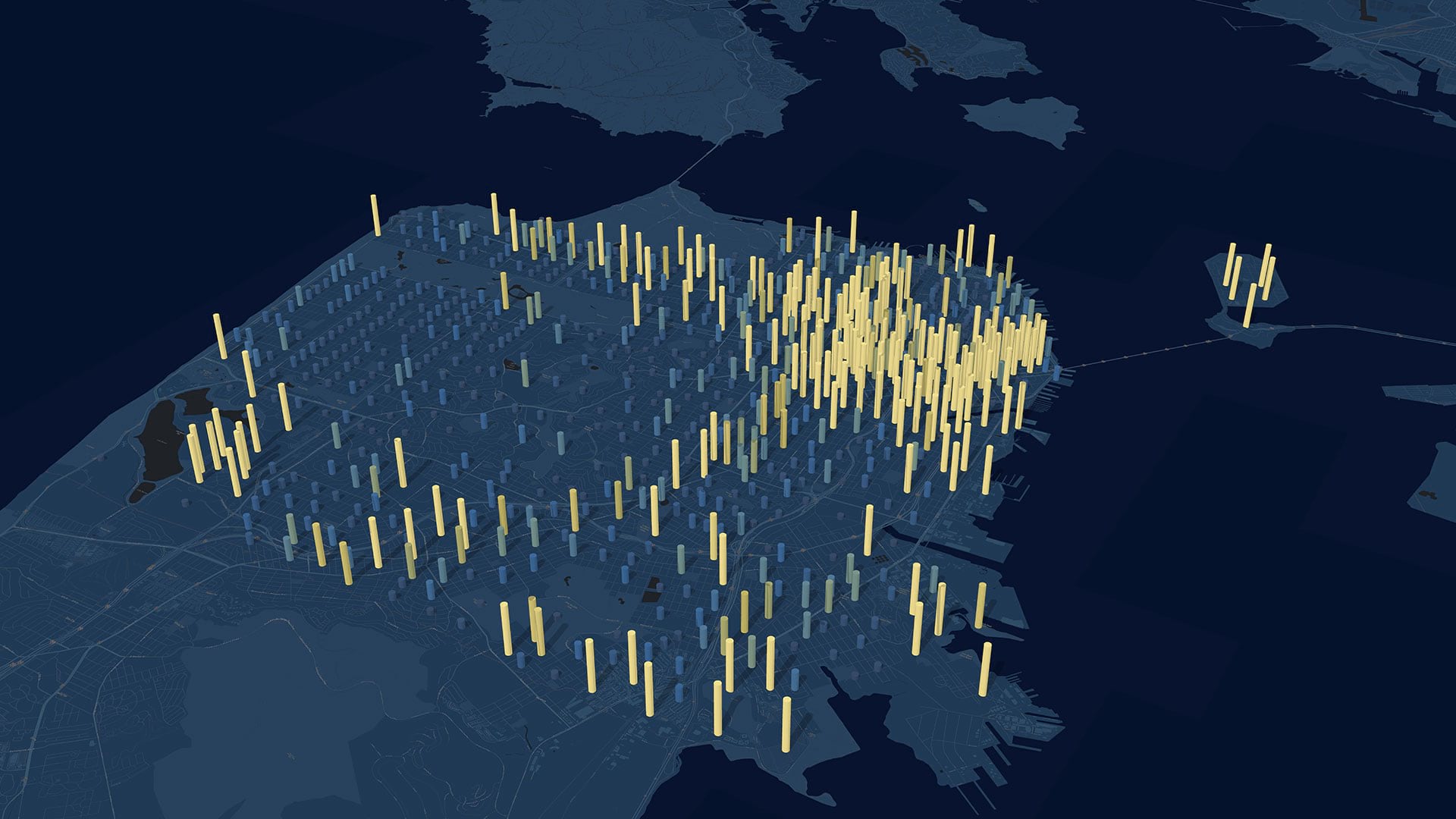
One example of an Experience Builder app, showcased in the Plenary Session of the 2020 Esri User Conference (Esri UC), is an emergency management app that Miami-Dade County could use to inform residents about severe weather and emergency management operations. Users can filter the entire app and the data it shows by panning the map and selecting specific municipalities within the county. This interactive experience lets app users see weather warnings and analyze their effects on different areas of the map.
The integrated 2D/3D feature in Experience Builder, which allows users to switch between 2D and 3D, really shines through in the emergency management app when examining how floods could affect Miami’s coastline. In the 2D view, users can see various weather events and warnings; whereas in the 3D view, they can discern how buildings might be impacted by a three-foot storm surge.

The Miami-Dade County app is packed with additional information as well, including details about emergency shelter availability and school closures. It incorporates dynamic media and text, too—including videos and Twitter feeds—which create a rich, informed narrative. And it features links to updates that come directly from Miami-Dade County’s website, which makes the app a one-stop shop for authoritative information.
Experience Builder is built on the powerful ArcGIS API 4.x for JavaScript, so users can create more compelling apps than ever before. As an app’s requirements expand, adding new features to the experience is easy. From within the builder, users can add new widgets or pages, edit existing pages, connect to additional data sources, and adjust the app’s theme.
To start building dynamic and powerful web apps that run on any device and bring together the apps you’re already using in one, unified location, get started with ArcGIS Experience Builder.