Protecting the Places We Love: Conservation Strategies for Entrusted Lands and Parks

By Breece Robertson
Bold conservation requires strategic action. In Protecting the Places We Love: Conservation Strategies for Entrusted Lands and Parks, veteran conservationist and geospatial designer Breece Robertson uses her experience and myriad resources to demonstrate how to act now for conservation and collaborate to achieve better results. Written for professionals and advocates at conservation organizations, park agencies, and small to midsize land trusts, Protecting the Places We Love includes strategies and methods for conservation, plus real-world examples from land protection organizations all over the globe. April/July 2021, 280 pp. E-book ISBN: 9781589486171 and paperback ISBN: 9781589486164.
Women and GIS, Volume 3: Champions of a Sustainable World

By Esri
The third volume of the popular Women and GIS series shows how 31 women and people of diverse genders in various science, technology, engineering, and mathematics (STEM) fields discovered their passions; broke down barriers; and used maps, analysis, imagery, and GIS to advance their work and improve the world. Sharing their experiences from childhood and throughout their careers, the people featured in the book reveal the obstacles they have overcome, the knowledge they have gained along the way, and how tenacity and determination have helped them succeed. May/June 2021, 320 pp. E-book ISBN: 9781589486386 and paperback ISBN: 9781589486379.
GIS Tutorial for Health for ArcGIS 10.8, Sixth Edition
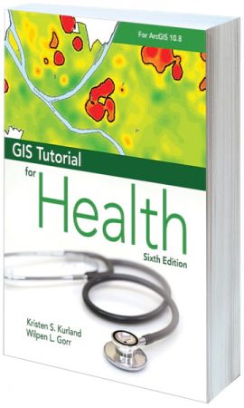
By Kristen S. Kurland and Wilpen L. Gorr
Knowing how technology can improve health research and health-care management has never been more important. A workbook for learning the basics of ArcGIS within a health context, GIS Tutorial for Health for ArcGIS 10.8, Sixth Edition, shows readers how to prepare, visualize, and analyze health data using ArcGIS Desktop. Readers get hands-on tutorials, mostly in ArcMap, that revolve around concrete health-care scenarios. This edition also features an introduction to ArcGIS Online and examples that employ international health data. Suitable for health management students, health-care managers, IT specialists, and researchers either as a computer lab textbook or for self study, GIS Tutorial for Health incorporates proven teaching methods, Your Turn sections, and homework assignments. May/June 2021, 400 pp. E-book ISBN: 9781589486799 and paperback ISBN: 9781589486782.
Modern Policing Using ArcGIS Pro
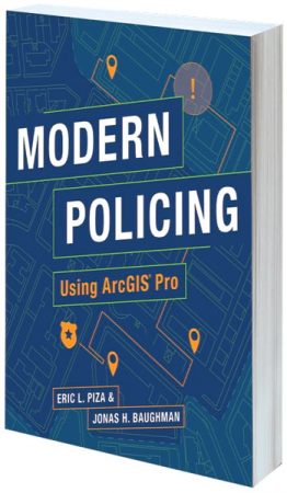
By Eric L. Piza and Jonas H. Baughman
Crime mapping and spatial analysis play a key role in day-to-day police functions. For crime analysts, Modern Policing Using ArcGIS Pro offers an easy-to-use, hands-on guide to employing ArcGIS Pro for creating crime prevention strategies, measuring program implementation outputs, and conducting crime control evaluations. The book covers strategic and predictive analysis and workflow automation, making it an essential read for anyone looking to enhance their agency’s operations. June/August 2021, 340 pp. E-book ISBN: 9781589485983 and paperback ISBN: 9781589485976.
GIS for Science, Volume 3: Maps for Saving the Planet
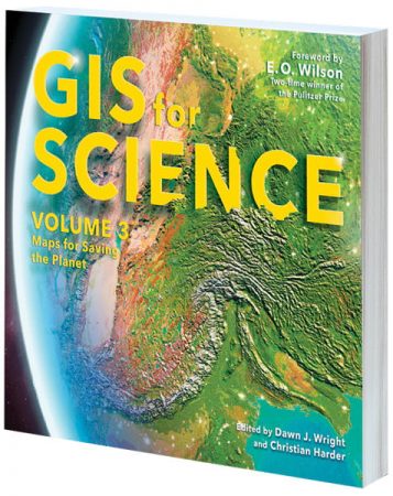
Edited by Dawn J. Wright and Christian Harder
The natural world is on the line. More than ever, we need GIS-driven mapping to make scientifically informed decisions about the myriad forces affecting life on Earth. With a foreword by two-time Pulitzer Prize winner E. O. Wilson, GIS for Science, Volume 3: Maps for Saving the Planet highlights real-world examples of how scientists are creating the maps that are saving the planet. The stories in this volume, which center on biodiversity, are written for professional scientists and anyone interested in learning about how conservation and technology intersect. Contributors represent a cross section of scientists using ArcGIS software to bring to life the geographic data they gather via remote sensing and on-site technologies. The ideas presented in GIS for Science and its companion website—including collaboration, spatial analysis, and science communication—can be applied across many disciplines and will hopefully inspire readers to join in the effort to save planet Earth while there’s still time. Fall 2021, 206 pp. E-book ISBN: 9781589486720 and paperback ISBN: 9781589486713.
GIS Jumpstart for Health Professionals
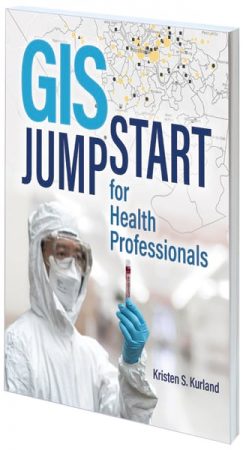
By Kristen S. Kurland
GIS Jumpstart for Health Professionals is a concise workbook that introduces location analytics and ArcGIS technology to health professionals; medical students, residents, fellows, and researchers; nursing students; and others interested in health IT and informatics, health-care administration, and health policy. Tutorials demonstrate how to use things like web-based data and storytelling apps, while short video lectures included with the book improve learning outcomes. Focused lessons get health professionals up and running with GIS quickly, so they can experience firsthand the value of location data, maps, and analytics. August/September 2021, 150 pp. E-book ISBN: 9781589486546 and paperback ISBN: 9781589486539.
Building a Smarter Community: GIS for State and Local Government

By Christopher Thomas and Keith Mann
Continual advancements in smart technologies mean that the use of location intelligence in state and local governments is no longer just for GIS specialists. In Building a Smarter Community: GIS for State and Local Government, readers can see how government leaders at the city, county, and state levels apply GIS to decision-making in planning, operations, and civic inclusion. Through web apps, hub sites, dashboards, and other GIS solutions, state and local government professionals can not only develop a deeper understanding of the communities they serve but also improve urban plans and designs, increase operational effectiveness, and find new ways to communicate with the public. May/June 2021, 120 pp. E-book ISBN: 9781589486850 and paperback ISBN: 9781589486843.
Understanding Crime: Analyzing the Geography of Crime
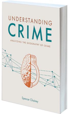
By Spencer Chainey
Understanding Crime: Analyzing the Geography of Crime is the first book to fully explain how to truly analyze the geography of crime. With comprehensive content that includes both new and old techniques, the book shows readers how to examine the spatial and temporal patterns of crime, analyze crime with other spatial data, and evaluate the impact of geographically targeted interventions. Topics covered in the book include the following:
- Hot spot analysis using microplace crime concentration and cluster analysis techniques
- Temporal analysis, including methods of examining the stability of crime patterns
- Analyses of troublesome places, repeat and near-repeat victimization, and persistent and emerging crime patterns
- The dispersion of crime concentration over time
Whether readers are new to analyzing the geographic patterns of crime or are experienced pros, they will benefit from learning the techniques presented in Understanding Crime. November 2020/January 2021, 304 pp. E-book ISBN: 9781589485853 and paperback ISBN: 9781589485846.
The Locators: Adventure in South America

By Kyle Bauer, Colleen Conner, and Wesley Jones
The Locators—a group of kids who solve problems using maps, technology, and spatial thinking—are determined to help those who need it. After crash-landing in the Amazon during their first mission, Lucy, Oliver, and Moe the Parrot embark on an exciting adventure to find and protect several endangered species in South America. Full of colorful illustrations; activities; and facts about endangered species, habitats, and more, The Locators: Adventure in South America keeps kids interested and makes learning easy. At the end of the story, readers can get their own Locator member ID number and become part of the team! July 2021, 120 pp. E-book ISBN: 9781589485839 and paperback ISBN: 9781589484986.
New Textbooks
Esri Press has several new textbooks for the classroom. Ideal for teachers of spatial analysis, cartographic design, human geography, and more, these books are written for a variety of learning levels. Recommended titles include the following:
- Introduction to Human Geography Using ArcGIS Online
- The Esri Guide to GIS Analysis, Volume 2: Spatial Measurements and Statistics, Second Edition
- Understanding Crime: Analyzing the Geography of Crime
- Modern Policing Using ArcGIS Pro
- Mapping by Design: A Guide to ArcGIS Maps for Adobe Creative Cloud
- Resilient Communities Across Geographies
Esri also offers reference copies of its textbooks to professors, instructors, and university faculty members. Educators can submit a request.

