Esri has always been dedicated to facilitating positive change. The company’s objective is to not only build powerful GIS technology but also empower a community of users to apply it to solve real-world problems.
In 2022, Esri gave this a name: GIS for Good. The ongoing initiative is a collection of programs, resources, and people across the company who work together to support organizations that strive to create a more sustainable future. Specifically, GIS for Good links Esri’s conservation, disaster response, education, and nonprofit programs, along with focused support around key challenges the world faces, to form a powerful, collective force for change.
The Four Pillars of GIS for Good
According to Ryan Lanclos, Esri’s director of national government solutions and the lead for GIS for Good, these four programs represent Esri’s long-term commitments to specific GIS communities.
“These Esri programs were established to provide our users with the support, resources, capabilities, and expertise they need to be successful,” Lanclos said.
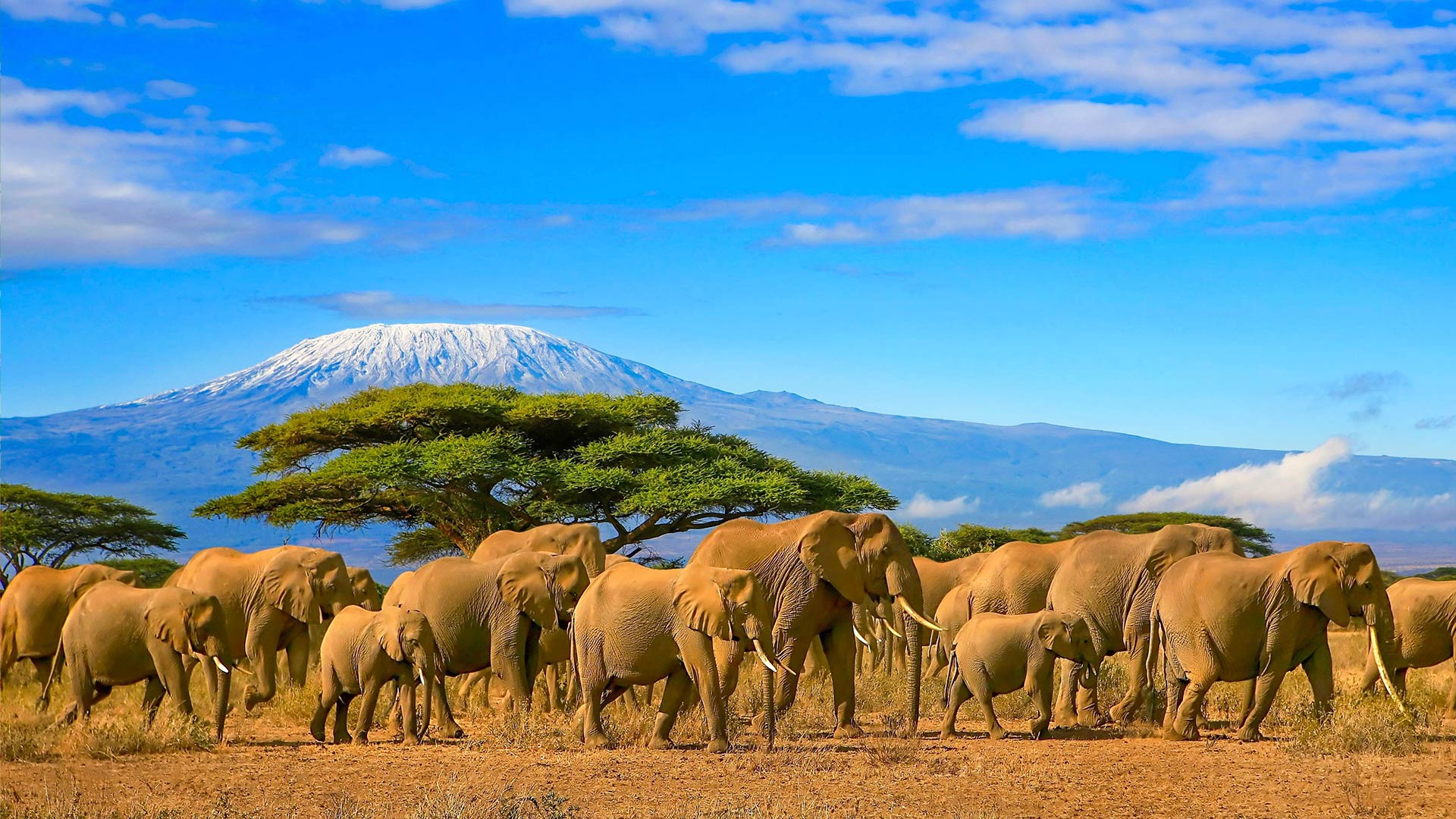
Esri’s Conservation Program, founded in the 1980s, has contributed to more than 5,000 organizations’ efforts to safeguard biodiversity and the environment. One of the earliest grantees was the Jane Goodall Institute, which has used GIS technology for everything from research and operations to youth education. By putting technology in the hands of conservationists and communities at little to no cost, Esri helps them not only protect critical habitats but also inspire the next generation of environmental stewards.

The Disaster Response Program, which provides GIS support during emergencies around the world, originated soon after the 1994 Northridge earthquake in Southern California, when Esri employees mobilized to help local agencies map damage and coordinate responses. Since then, the Disaster Response Program has worked closely with more than 11,000 organizations during crises, from the 9/11 attacks to the COVID-19 pandemic.
The Nonprofit Program has supported more than 15,000 charities, foundations, and other mission-driven organizations since its launch in 2010. These groups address a wide variety of issues, from public health to food security and policy to arts and culture. The program provides free or deeply discounted access to ArcGIS software, data, and resources, helping these organizations better understand the communities they serve and measure their impact.
The Education Program contributes GIS technology and learning resources to more than 4 million students and scholars, from K–12 schools to higher-education institutions. Its goal is to embed geographic thinking in school curricula, teaching students to use maps as a way to understand their world. A recent example from the 2026 Esri User Conference featured students from Panama who use GIS technology to study biodiversity in their community, demonstrating the power of connecting education with real-world conservation efforts.
From Reactive to Proactive
Over the years, Esri has listened to its users’ needs and developed solutions to address their most common challenges. In disaster response, for example, Esri identified four key areas where organizations typically need support: impact analysis, data collection, public communication, and data sharing. This led to the creation of Esri’s emergency management operations tools. Built in ArcGIS Online, these tools help organizations follow best practices and expedite their emergency response efforts.
While the Disaster Response Program might be most visible when emergencies happen, it focuses equally on creating long-term, proactive, community-based solutions. The hope is that organizations will have the tools they need to support any emergency from a GIS capability standpoint—and that they can move beyond reactive problem-solving during emergencies and toward building a safer and better future with ArcGIS.
One organization that is doing this is the Food Bank of Central & Eastern North Carolina. This nonprofit uses GIS technology not only during challenging times but also on a regular basis to do things such as understand the linguistic diversity of the communities it serves every day. By using data from ArcGIS Living Atlas of the World, the food bank identifies what languages people speak in different areas; staff and volunteers can then show up at the organization’s pop-up food distribution sites with the right resources to communicate effectively.
“There’s a lot of interconnectedness in the work that happens under the GIS for Good umbrella,” said Emily Swenson, lead for Esri’s Nonprofit and Conservation Programs. “Formalizing the GIS for Good initiative shows that people at Esri are committed to our user communities, and it’s really a powerful collective effort.”
Overcoming Challenges
For many nonprofits and other groups that benefit from GIS for Good, adopting GIS often requires resources they don’t have. Limited funding, a lack of GIS staff, and the learning curve associated with implementing new technology are common challenges.

“Very few nonprofits that are newly joining the program have dedicated GIS staff,” Swenson said. “Some don’t even have technical staff.”
To address these challenges, Esri collaborates with organizations such as TechSoup, an industry leader in nonprofit technology, to streamline the process of accessing software at a discount. Esri also works with GISCorps, a network of thousands of GIS volunteers who contribute their expertise to support nonprofit, conservation, and education organizations.
How to Get Involved
GIS for Good is about collective action. For GIS professionals, this means looking for opportunities to mentor and support nonprofits in their communities—whether through an organization such as GISCorps or via a more informal approach.
“You can find a nonprofit and mentor them or get them to sign up for the GIS for Good initiative to access Esri technology while providing your GIS expertise to help them get started,” Lanclos said. “If you’re a parent of a student, you can make sure that their school is signed up for the GIS for Schools program. You can also be a mentor and go to schools, talk about maps and the power of geography, and inspire students to join the next generation of mapmakers and geospatial thinkers.”
For nonprofit leaders who want to find out more, the first step is to apply to the program that best fits their organization’s mission. The GIS for Good website serves as a gateway to Esri’s related initiatives, providing a clear path to get started with one or more of the four related programs.
Looking to the future, Esri’s commitment to GIS for Good remains steadfast, according to Lanclos and Swenson. As new challenges emerge, Esri will continue to listen to its user community and apply its resources to support the work that needs to be done.
“Our stakeholders are our user community, so their success is our success at the end of the day,” Lanclos said. “If there are things in the world that we hear our community mobilizing around or struggling with or needing support for, it’s an opportunity for Esri to commit and help out.”