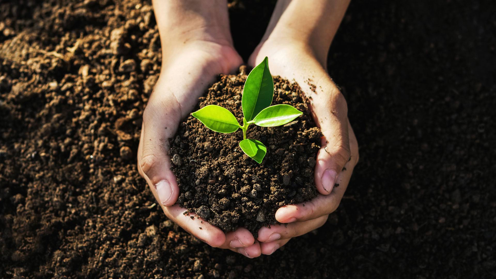
Creating Sustainability: “The Most Important Design Problem in the World”
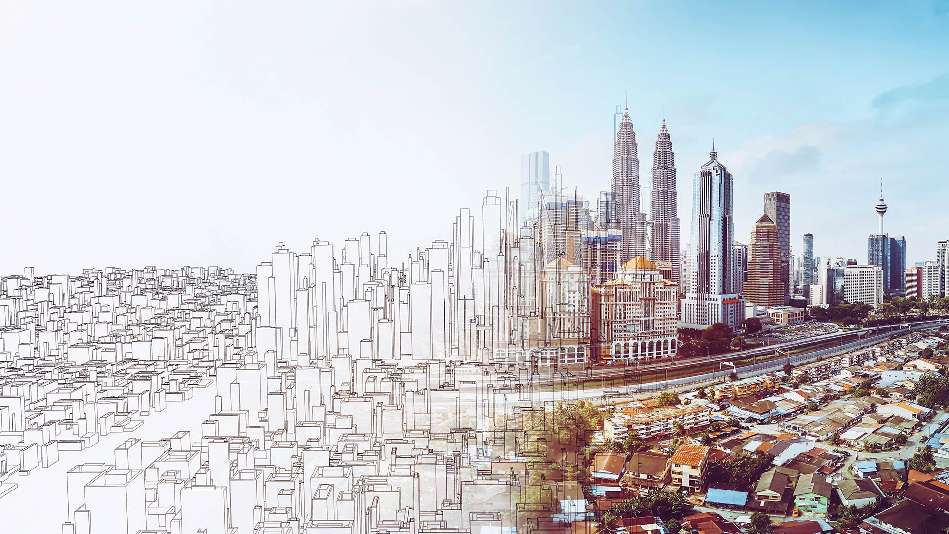
When planners can see their communities’ plans in context, they’ll be able to gauge the effects across counties, nations, and regions.
When planners can see their communities’ plans in context, they’ll be able to gauge the effects across counties, nations, and regions.
This collection of programs and resources supports organizations that seek to create a more sustainable future.
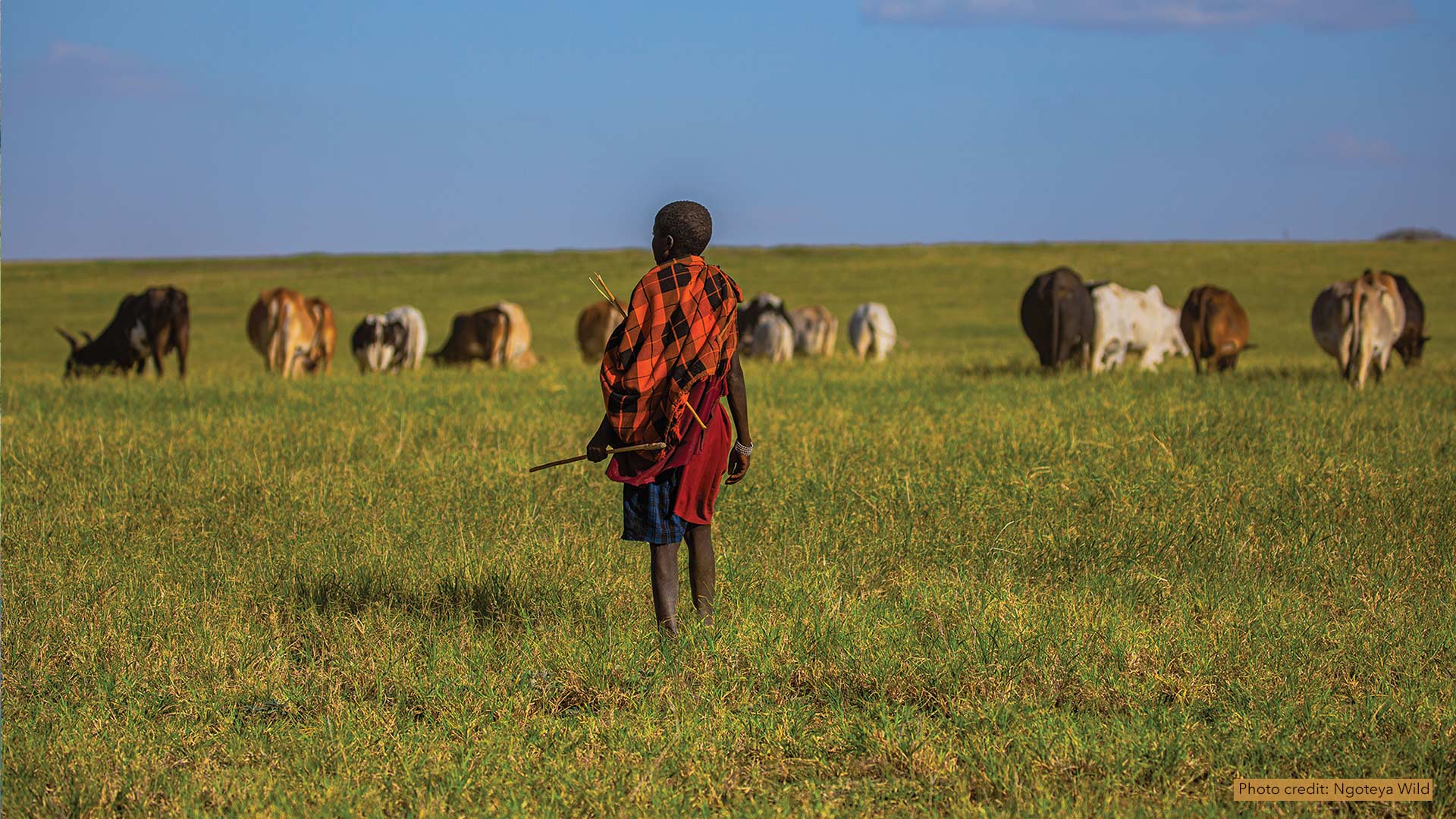
African People & Wildlife works with Maasai pastoralists in Tanzania to use GIS to document phenomena and share their knowledge of the land.
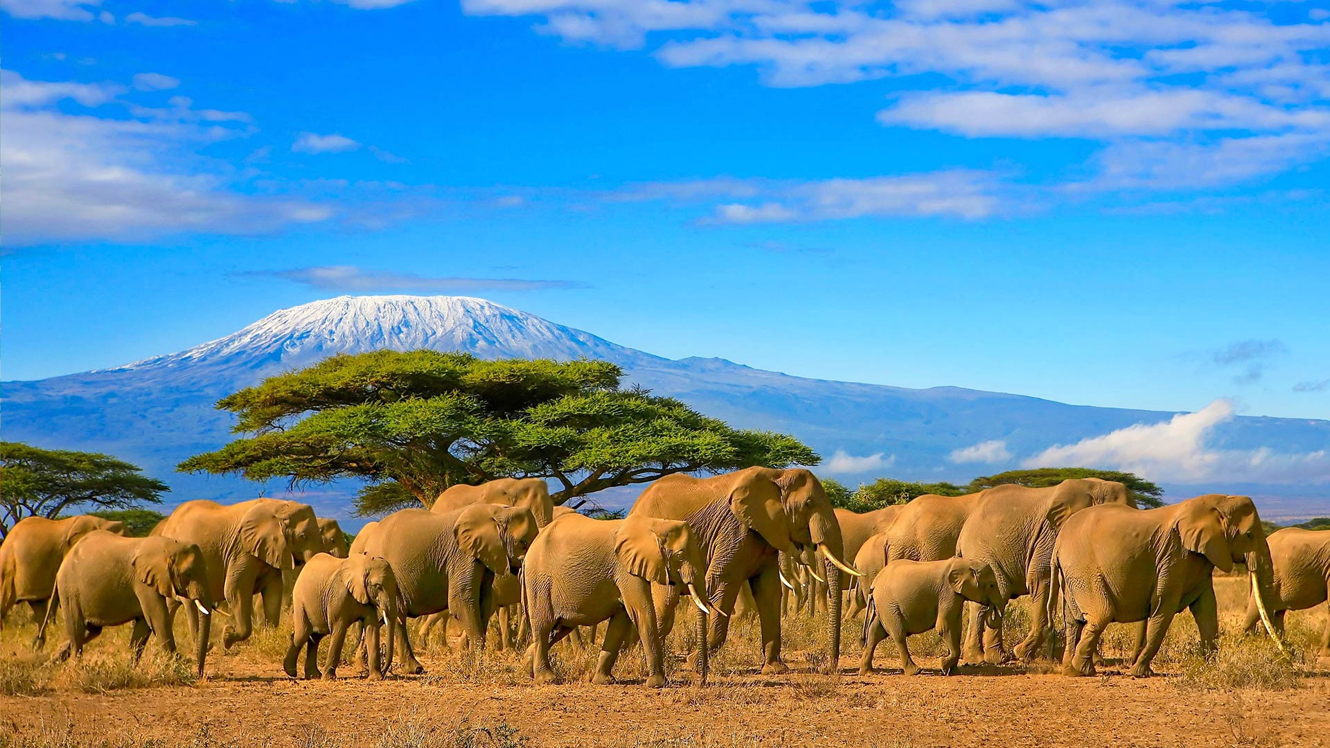
Esri is spearheading the new Map Africa initiative to create detailed, authoritative basemaps for every country on the continent.
Staff at Marion County Public Works set up an ArcGIS Hub site to engage with the community and spotlight ongoing sustainability initiatives.
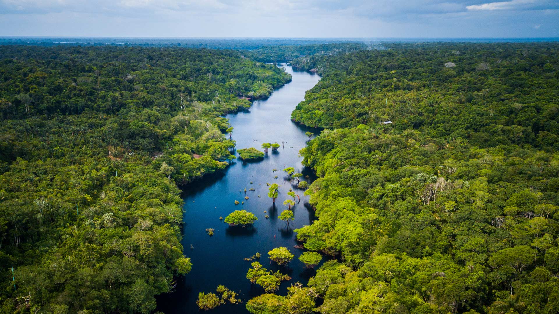
Natura &Co partners with traditional communities to equitably access natural resources while preserving the Amazon’s biological diversity.
The event, which brings together Esri UC attendees who are interested in science, will celebrate the remarkable Dr. Rae Wynn-Grant.
Esri is actively involved in a multitude of climate-related activities, including massive online open courses.
With humanity at an inflection point, we must choose to stand up and create a sustainable future.
With GIS, the University of Minnesota is helping Minnesota counties follow the United Nations' 17 Sustainable Development Goals.
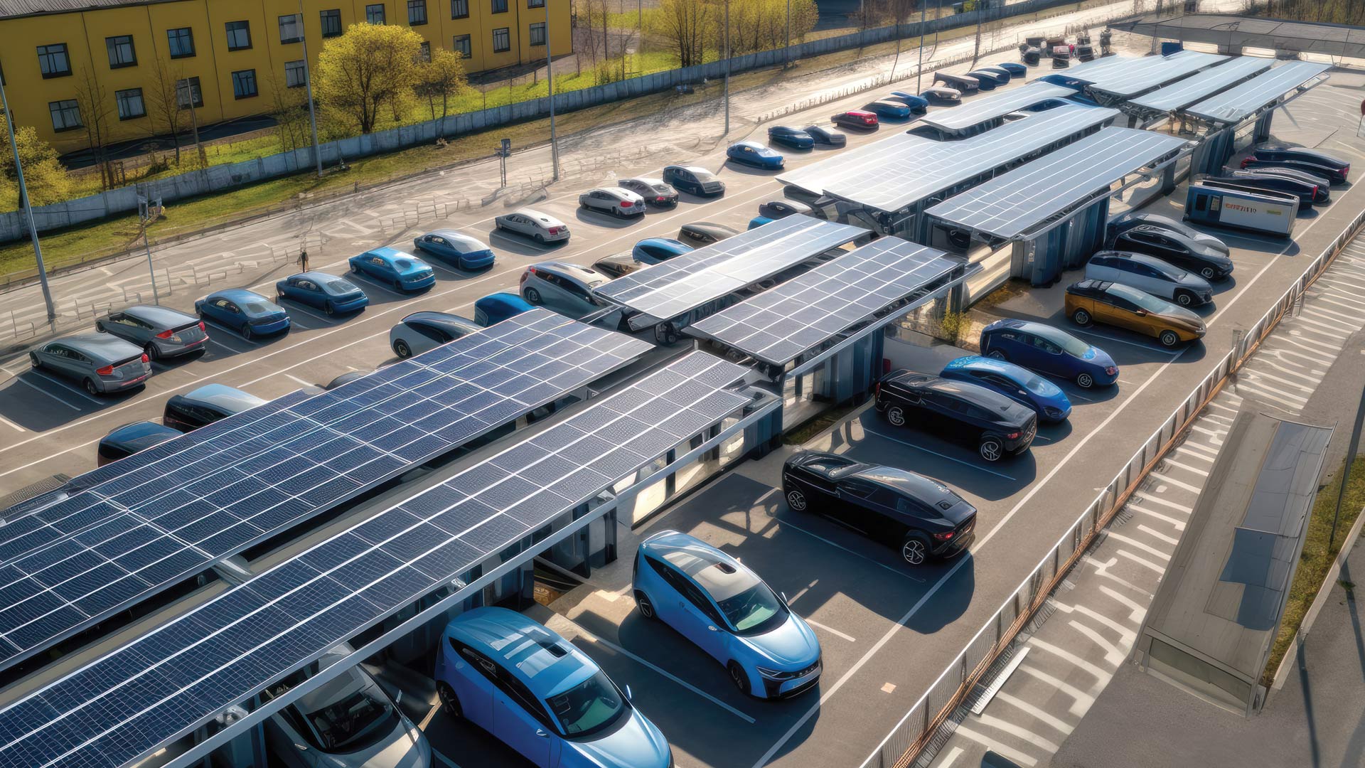
A deep learning model in ArcGIS Living Atlas of the World automatically detects parking lots that are ideal for solar panel installation.
The project involved recycling concrete from an old stadium to use at the new venue. Site Scan for ArcGIS was key to monitoring materials.