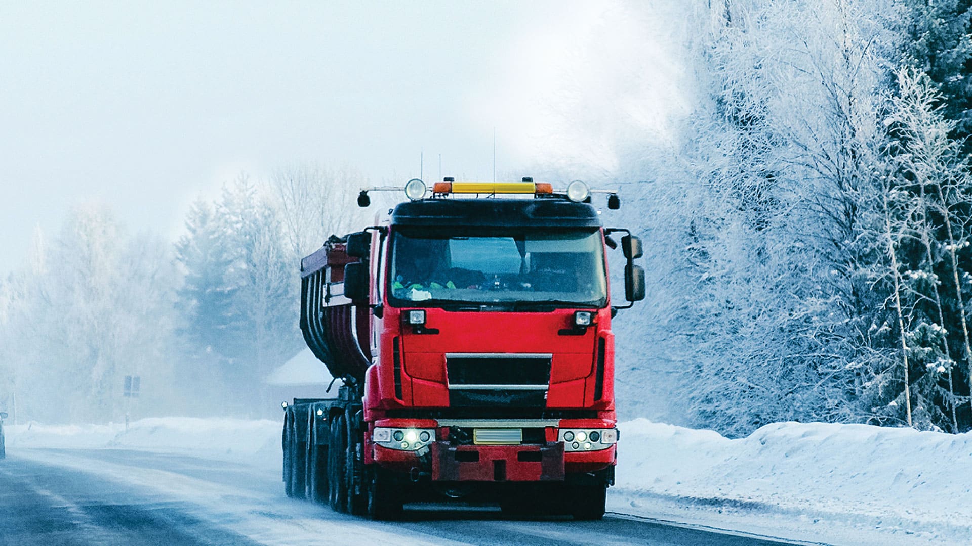
Transport companies around the world deliver vital goods such as food, clothing, and electronics, making road-based freight transport an important part of the global economy. In Finland, 40 percent of transport companies consist of just one person and one truck, and these individuals work tirelessly to deliver essential goods.
To ensure that drivers receive accurate information about their trips, Finnish transport consulting company Tietorahti Oy collects and updates transport industry data on everything from gas stations to the maximum weight allowed on various roadways. Although some of this data was available before, drivers couldn’t access it in one system. What’s more, the data they did have access to wasn’t always accurate. This made it difficult for drivers to get the trip information they needed while on the road.
That’s why Janne Lausvaara, founder of Esri startup partner Tietorahti Oy, created a mobile app that drivers can use to easily access critical data while on the road. Employing the ready-to-use configurable templates that come with ArcGIS AppStudio, Lausvaara was able to build an app—without doing much coding—that makes drivers’ journeys safer and the transport of vital goods more efficient.

Gathering Information in One Place
In Finland, the information available to commercial truck drivers and dispatchers used to be found in several different places, such as enterprise resource planning and time management systems, according to Lausvaara. Several key pieces of information were also unavailable, including height and weight limitations on bridges and roadways. This made it challenging for drivers to get essential information about their trips, either during the planning phase or while en route.
As Lausvaara described it, information was “all over the internet and in different kinds of solutions.” He didn’t believe that this was serving the local commercial trucking industry very well, so he set out to create one solution with access to all this data.
First, Tietorahti Oy used Google My Maps to introduce a paid solution, released on Google, for accessing transport industry data. This included data from transport companies, as well as open data on everything from truck stops and repair shops to truck height limits and gas stations. Within two years, the app had 1,700 users.
According to these users, however, the data included a lot of errors. The tool also had two specific limitations: a limit of 600 users and a restriction of 10 layers per map. Correcting erroneous data was a lot of work for Lausvaara, too.
“If there was wrong data, I had to fix it four times so users could see it,” he said. “And [the data] was difficult to edit, since it was in multiple places.”
Lausvaara decided to create yet another solution that would not only make information accessible in one place but also have rich data and easier editing capabilities.
A Solution that Does It All
Lausvaara wanted to create a map-based mobile app that was available in public app stores, but he didn’t know where to start. In talking with Ilkka Suojanen, chief technology officer of Esri Finland, Lausvaara found out about AppStudio. Suojanen suggested it because, whereas it allows users to build geoenabled, cross-platform native apps, it requires minimal coding.

To begin creating this new solution, Lausvaara applied to join the Esri Startup Program, which helps early-stage startups, like Tietorahti Oy, build mapping and location intelligence into their products. After becoming part of the program in January 2020, Lausvaara employed AppStudio and worked with a single developer and a graphic designer to get his app up and running.
“I was really excited about AppStudio because I only had to use my code guy,” said Lausvaara. “I [could not pay] anyone to make me software, so [coding] was really easy with AppStudio.”
He watched video tutorials created by Esri’s AppStudio team to learn how to use the product. Lausvaara said that videos from Esri product engineer Tina Jin, in particular, convinced him that AppStudio was the best option for this. From there, implementation was pretty simple.
“I have seen a lot of Tina’s videos, and [they] showed how easy it is to make an app. So I thought, if it’s that easy, I have to do it with this [tool],” Lausvaara said. “Everybody needs this solution.”
Tietorahti Oy launched the new, free mobile app, called Tietorahdin kartta (which translates to “the map of Tietorahti”) in April 2020 using existing data from the previous Google solution. Within the app, there are galleries of ready-to-use maps that have relevant information for couriers, log transport companies, and container transport companies. For example, a courier can see parking places in city centers, while a container transport company can view port information.

Lausvaara used his own transport industry dataset that comes from 14,000 transport companies and includes over a million data points on things like revenue, equipment, type of transport, and GIS data. This allows Tietorahti Oy to inform transport companies when relevant information is available in the app, such as when loading and unloading locations are added.
Tietorahti Oy advertises its app to drivers with a paper leaflet that says, “[Y]ou have the power to choose what you can see on your map.”
Drivers Get a Tailored Experience
The new, free mobile app—which also functions as a navigation system and tailors its results to where a driver is traveling—has more than 5,400 users and has received positive feedback from transport companies. Part of the reason for this is that truck drivers and transport companies can create a customized experience for themselves. For example, drivers can decide to only view gas stations for which they have a card.
“Drivers can choose what map layers they see, and I was really excited when I found this out,” said Lausvaara. “The map and device remember [the options] drivers have chosen, and there is one map with all the data.”
The app collates data from agencies such as Traffic Management Finland. In addition to displaying information such as the locations of gas stations, parking places, rest stops, and loading areas, the app shows traffic incidents and roadwork information (crowdsourced from drivers), where showers and saunas are, and various types of weight and height limits for roadways around Finland.

Tietorahdin kartta is widely available to drivers throughout the country, which gives Lausvaara an efficient way to collect more data from users and, in turn, improve the app’s data quality. And, perhaps most significantly, all this more accurate information is available in one place instead of scattered around different solutions.
Lausvaara finds it easy to make edits and correct errors in the data using the app as well. Previously, he said, he would have three or four different maps with the same data, but now he can make one map, duplicate it, and edit the different layers within the map.
“Before we used AppStudio, we had a lot of manual processes when updating the data. Also, it had to be updated in several places. Now, we have only one master layer that other layers use filtered,” Lausvaara explained. “It’s less work…and there is more automation with AppStudio. We are saving time because the data is always in one place and only updated once.”
In conjunction with AppStudio, Lausvaara is using ArcGIS Survey123 and ArcGIS Online to crowdsource data and ensure that all the information is kept current. According to Lausvaara, this makes data collection much smoother when compared to the way he previously gathered data from drivers.
Looking at Sharing in the Future
Pleased with the progress of Tietorahdin kartta, Lausvaara wants to eventually create a desktop version of the mobile app that transport company dispatchers can use. He would also like to share this data and his solution with similar organizations around the world.
“I want to share data and ideas with other countries’ transport-related groups. For example, if someone in Sweden has the same kind of software, we could possibly share data and ideas with each other to help support transport companies,” he said. “That would be really powerful.”
For more information on this project, email Lausvaara at janne.lausvaara@tietorahti.fi or visit his website.