Many countries have made commitments to protect biodiversity and safeguard its many benefits to people. But achieving these goals requires information systems that address the many facets of biodiversity and different forms of biodiversity data.
The successful implementation of such a system requires cooperation among the many agencies, organizations, and communities that take part in biodiversity data collection, management, and analysis. It also involves overcoming the technical challenges of reusing data, making it interoperable, and sharing it.
National geospatial biodiversity data comprises thousands of species, documented using a slew of data collection methods, naming conventions, formatting, and metadata. GIS tailored to these unique challenges must be used to integrate and harmonize the data.
Many governments want such a geospatial data system to support their robust, nationwide biodiversity monitoring strategies and analyses, which inform conservation decision-making. That’s what Map of Life—a global initiative led by the Yale Center for Biodiversity and Global Change—is building. Working alongside Esri and with support from the E.O. Wilson Biodiversity Foundation, Map of Life participants are collaborating with national government partners worldwide to develop the National Biodiversity Information System (NBIS), a robust, private, and flexible platform for managing, visualizing, and analyzing biodiversity data.

How the NBIS Works
The NBIS accommodates the diverse entities often involved in national biodiversity monitoring and conservation. It has built-in systems to harmonize and standardize data, plus customizable data-sharing options.
Using public global datasets supplied through Map of Life, the NBIS serves regularly updated information about thousands of species, including their conservation statuses; distribution data; and trends in habitat areas, connectivity, and protection. Additionally, Map of Life is developing high-resolution species distribution models to help fill data gaps and inform monitoring strategies. These models are the result of years of research and development by Map of Life participants, and they continue to be refined through global partnerships.
The NBIS is built on ArcGIS Enterprise and ArcGIS Online with a bespoke front-end design—a combination that provides a unique integration of robust data management infrastructure with a highly customizable and interactive user interface. This system delivers species data dashboards, regional biodiversity data layers, national and subnational biodiversity indicators, and integrations with ArcGIS Pro for more detailed analysis. These features were codesigned with government partners around the world to ensure they meet agencies’ unique needs for both efficient data management and real-time decision support.
In addition to managing species-level data, the NBIS provides users with three biodiversity indicators:
- The Species Protection Index, which assesses how much species’ habitat is under protection
- The Species Habitat Index, which tracks changes in species’ suitable habitat
- The Species Information Index, which evaluates how well existing data covers species’ expected ranges
 for Guyana, with a map on the right highlighting regions in different colors based on their SPI scores.")
These indicators, which are produced by Map of Life, have been adopted in the Kunming-Montreal Global Biodiversity Framework (GBF), so governments and organizations can use the NBIS interface to support their national reporting requirements.
Within the NBIS interface, users interact with subnational indicator data at annual resolution, as well as individual species-level scores. This allows users to conduct in-depth analyses of localized metrics and rapidly identify species of highest conservation priority.
The data products delivered through the NBIS are powered by the integration of public biodiversity databases from Map of Life and private databases held by government agencies and other collaborating institutions—a unique combination for each country’s distinct system. The NBIS’s standardized data and metadata reporting frameworks allow for the smooth integration and interoperability of these different data types without sacrificing individual data ownership. This allows the many entities collaborating through the NBIS to retain data sovereignty while reaping the benefits of shared data for planning and reporting.
Guyana Serves as an Example
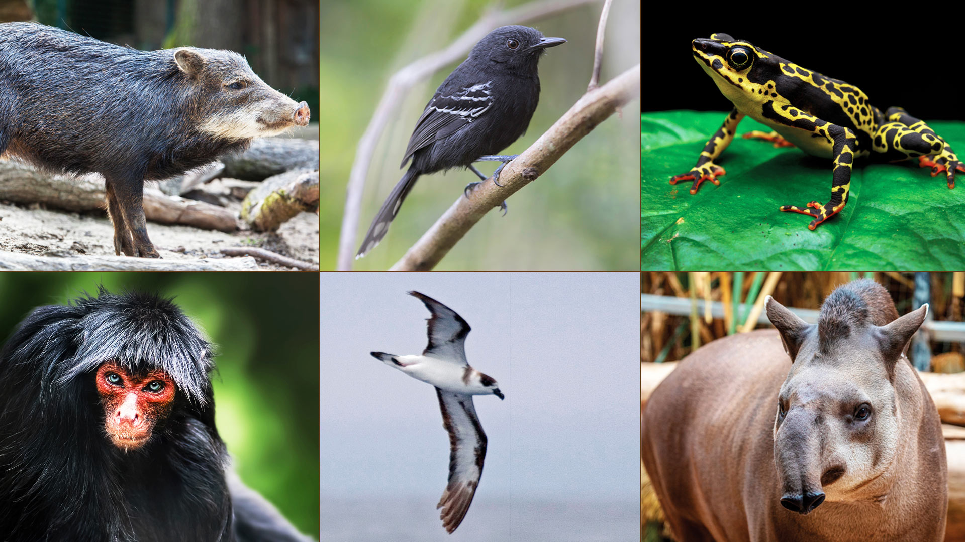
One of the first adopters of the NBIS is Guyana, a country that’s teeming with biodiversity. Situated on the northeastern edge of South America along the Atlantic coast, it is blanketed by some of the world’s largest intact rainforests—and is a global leader in biodiversity conservation.

Guyanese president Dr. Mohamed Irfaan Ali made an ambitious announcement at the inaugural Global Biodiversity Alliance Summit, held in July 2025 in Georgetown, Guyana.
“I am proud to launch Guyana’s National Biodiversity Monitoring [Initiative]—a bold, unprecedented step from vision to action, advancing our leadership in global nature stewardship, with the people of Guyana at its heart,” he said.
The summit brought together leaders from around the world to strengthen international commitments and chart a pathway to protecting biodiversity under the newly formed alliance. The cornerstone of Guyana’s leadership in the alliance is the National Biodiversity Monitoring Initiative, which aims to standardize biodiversity monitoring across the country and serve as a model for other nations seeking to do the same.
The NBIS is the technological and data management foundation of this initiative. Through the NBIS, a collaborative consortium of Guyanese agencies, nongovernmental organizations, universities, international partners, and other institutions will consolidate existing data and develop standardized systems for future data collection, sharing, and interoperability.
Guyana’s National Biodiversity Monitoring Initiative aims to be the first in the world to carry out a standardized, border-to-border biodiversity monitoring program and will serve as the basis of a transparent and high-integrity biodiversity data system for the whole country. With nearly 90 percent of the country covered by forest, it will take a lot to turn this goal into a reality. The NBIS supports this program by providing the infrastructure for the many organizations that make up the consortium to share and coordinate on ecological data.
Moreover, the NBIS allows the Guyanese government to use this newly standardized national dataset to not only inform additional biodiversity monitoring efforts but also support key national goals. The NBIS’s adaptable data infrastructure, analysis, and visualization capabilities bolster Guyana’s goal of protecting 30 percent of its land and seas by 2030—in line with the GBF’s 30×30 initiative—as well as its Low Carbon Development Strategy.
With the technological innovation of the NBIS and support from Esri at its core, Guyana’s National Biodiversity Monitoring Initiative is poised to position the country as a leader in the global biodiversity community.

A Scalable System That Serves Individual Needs
The balance of data sharing and sovereignty-protecting infrastructures, data standardization procedures, and spatially explicit decision-support tools that are built into the NBIS demonstrate the importance of systems that are designed specifically to address biodiversity conservation’s unique data management and decision-making needs.
Thanks to Map of Life’s global data coverage and Esri technology’s processing capabilities and infrastructure, the NBIS is fully scalable. It allows users to rapidly create private, custom systems for additional partners while maintaining key functionalities and seamlessly plugging into agencies’ existing GIS infrastructure.
With its time- and cost-saving capabilities and powerful integrated systems, the NBIS can support governments around the world in meeting their commitments to biodiversity and people.
For more information, email Dr. Alexander Killion at ybgc@yale.edu.