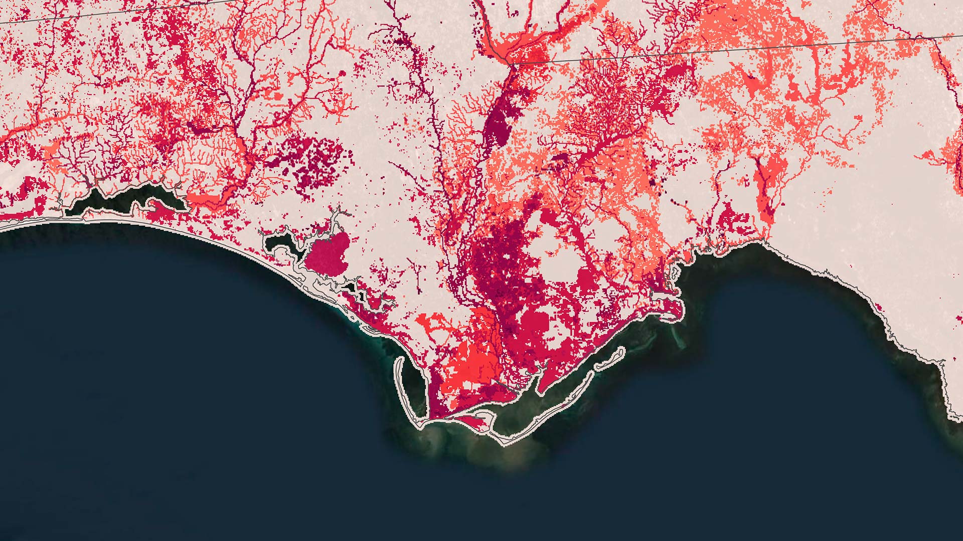
Latest Land-Cover Data Release Shows More Change Over Time
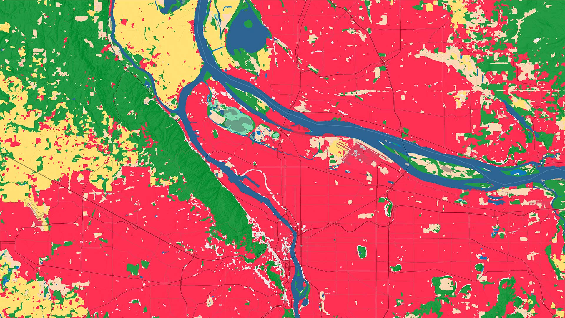
Anybody can drill in to a location of interest anywhere in the world to conduct land-cover analysis from 2017 through 2025.
Anybody can drill in to a location of interest anywhere in the world to conduct land-cover analysis from 2017 through 2025.
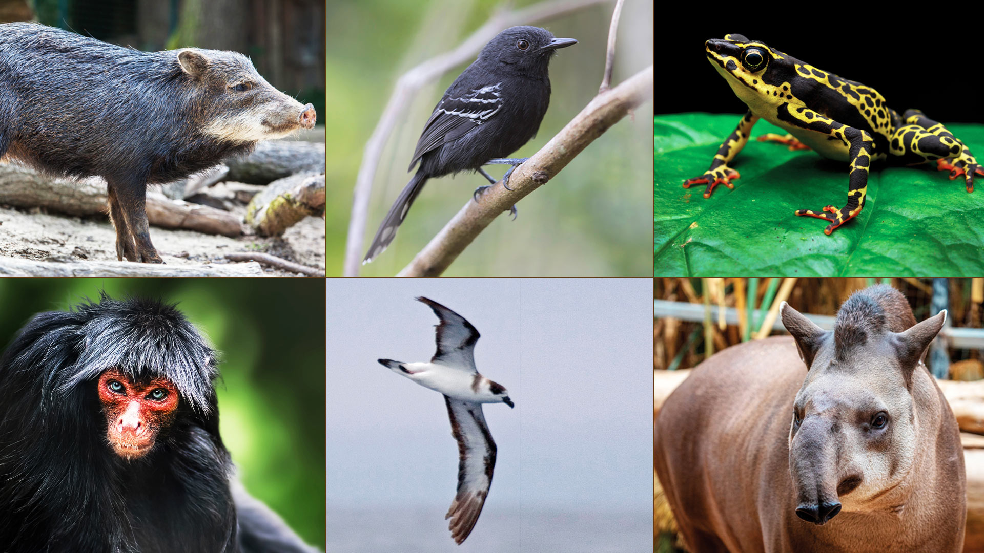
Using GIS and predictive modeling, NatureServe shows where conservation efforts matter most.
To document and monitor thousands of species across regions, it’s imperative to have tailored GIS to integrate and harmonize the data.
The event, which brings together Esri UC attendees who are interested in science, will celebrate the remarkable Dr. Rae Wynn-Grant.
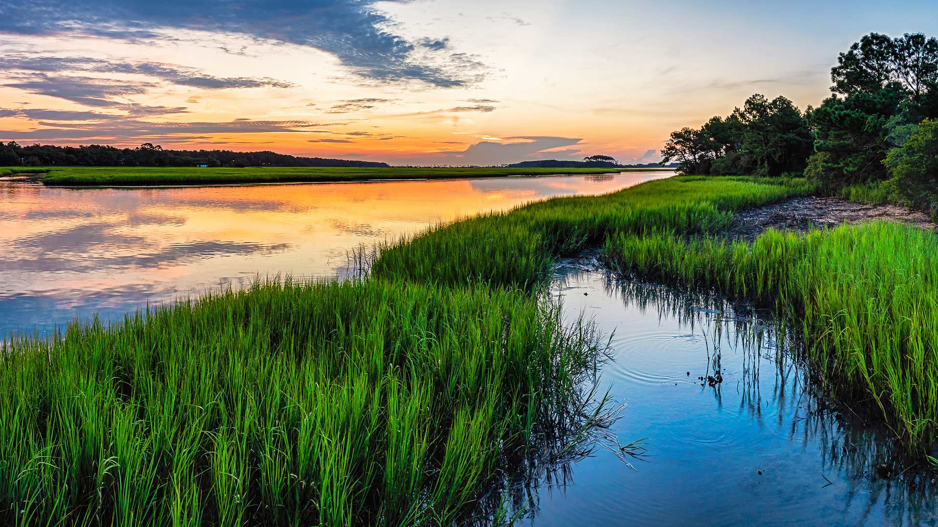
More than 100 ecosystem restoration projects seek to safeguard many unique and endangered plant and insect species in Nebraska.
With GIS, the University of Minnesota is helping Minnesota counties follow the United Nations' 17 Sustainable Development Goals.
With a focus on GIS training, the New Jersey Department of Environmental Protection uses a wide range of GIS applications.
California’s Napa County helps prevent the spread of exotic pests in commercial agriculture by using ArcGIS Field Maps.
Joe Lemeris uses GIS to manage habitat restoration and monitor endangered species. He also has an intuitive sense of geospatial strategy.
To better manage and store imagery and improve change detection analysis, Esri partner Skytec implemented ArcGIS Image for ArcGIS Online.
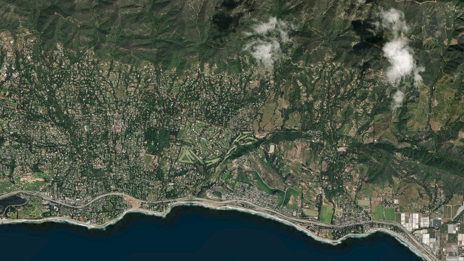
A comprehensive, ArcGIS technology-based solution helps Carlsbad, California, keep up with maintenance on pollution-catching structures.
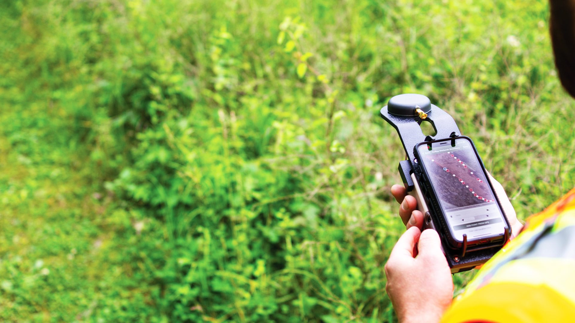
Ecobot’s GIS-based platform helps environmental scientists efficiently collect data on the natural environment surrounding a project.