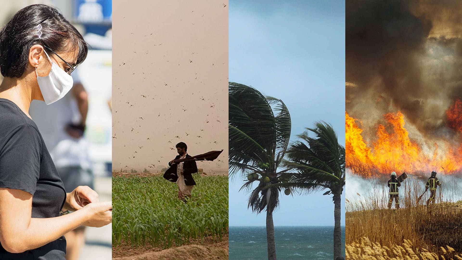
Most organizations have been in crisis response mode for the majority of 2020. The coronavirus disease 2019 (COVID-19) pandemic continues to stress resources, requiring organizations to balance public health with economic vitality as businesses reopen and people start returning to the workplace. At the same time, desert locusts are devastating parts of Africa and the Middle East; wildfires in the western United States have taken a toll on communities and the environment; a very active Atlantic hurricane season has wreaked havoc on parts of the Gulf Coast; and a catastrophic explosion severely hampered Beirut, Lebanon.

It’s probably safe to say that everyone is familiar with crisis response this year. But even in this time of global calamity, organizations can still prepare for what may come next. This could make the difference between repeating past mistakes and getting through the next crisis more smoothly.
Those who work in public safety know that there is a life cycle, or flow, to any crisis or disaster. While an effective response is critical to delivering much-needed resources to a community, saving lives and property, and ensuring that businesses and residents are stabilized, that’s just one phase of the cycle. Beyond that is the opportunity to make lasting change—and build resilience.
Once a community emerges from the immediate response to a disaster—natural or otherwise—recovery efforts begin. This is when governments start doing impact assessments and businesses seek to establish continuity.
In this phase of the crisis management life cycle, GIS aids in evaluating damage and documenting impacts to infrastructure and the environment. It also helps organizations quickly report the results of these assessments to state and federal agencies so communities can access the recovery funds they need to get relief and start the rebuilding process.

The recovery phase is also a time for organizations to pinpoint and log any lessons learned from the response phase. This exercise should encompass both the good and the bad to foster an evolution in thinking and inspire new solutions that can be used in the next response.
One of the key lessons learned from COVID-19 is the need for greater collaboration among all levels of government and across sectors. The City of Bozeman, Montana, for example, has taken this idea and used ArcGIS Hub to develop a hub site that shows real-time COVID-19 indicators for its immediate tri-county area. The website provides access to critical resources that can help the community reopen and return to work. These resources include lists of where residents can buy certain types of masks at local stores and links to flyers and brochures that all kinds of businesses—from schools and childcare facilities to hotels and restaurants—can print to ensure that they are in compliance with current public health regulations. The comprehensive hub site also provides greater transparency on the current status of COVID-19 cases, businesses, and community resources across multiple counties.

During an ongoing crisis and even afterward, lessons learned serve as a foundation for better preparedness—that is, they give organizations greater situational awareness of the risks and vulnerabilities that were exposed during the emergency. Paired with GIS, these lessons learned can spark concrete action. For example, mapping the location of known hazards like floodplains or faults; critical infrastructure, such as schools and office buildings; and population or employee characteristics, including demographics and health, racial, and economic equity data, can help identify locations and populations that are more vulnerable to the effects of an emergency. For these locations, organizations can plan how to better mitigate a disaster’s potential impacts. Communities, for example, can make proper adjustments to building codes or buy and redevelop land located in flood-prone areas to implement flood mitigation. Efforts like these can prevent an emergency from turning into a disaster.
The City of West Palm Beach, Florida, has taken an inclusive approach to determining community-wide risk and vulnerability due to climate change, focusing, in part, on sea level rise. By employing a community-focused process that uses maps and data to communicate the risks and potential outcomes of sea level rise, as well as GIS to analyze existing threats and hazards, the city has been able to establish mitigation priorities that reflect the community’s shared vision for long-term resilience to climate change. This includes setting goals for planting 10,000 trees in West Palm Beach by 2025 and achieving net-zero greenhouse gas emissions by 2050.

Finally, to ensure readiness for the next crisis, there is a need to bring all this together. Organizations should take the lessons learned, the increased awareness of vulnerabilities, and the new tools or programs that have been put in place to mitigate risk to train and prepare their staff, partners, and the rest of their communities for the next crisis, which could happen at any time.
With each new emergency, the crisis management life cycle continues, on and on, providing organizations with new lessons learned and fresh opportunities to strengthen their resilience. Amid the global crises that have happened so far in 2020, there are great examples of how organizations have used location intelligence to gain a better understanding of the current situation in real time, model the potential impacts of these hazards on their communities, site and allocate additional resources as effectively as possible, and communicate with and engage the whole community using maps and apps that provide much-needed context and insight.
Building resilience across our global, interconnected society requires each of us to act now. Embrace the crisis management life cycle framework and shift the focus from response to preparedness and readiness. Develop a better understanding of the risks and vulnerabilities that are specific to you and your organization and how they correlate with those of your partners and neighbors. Then, build solutions for a more resilient future—no matter what crisis comes next.