Contribute to Esri Basemaps with the New Community Maps Editor App
When Esri users share their authoritative data and services, the wider GIS community benefits greatly from having access to more up-to-date, accurate, and verified maps and basemaps. The Community Maps Program facilitates these updates by offering a channel through which organizations can contribute their data to ArcGIS.
To make it easier to submit data, Esri recently released the new Community Maps Editor app in beta. The app streamlines the data submission process by connecting participants with an efficient way to create and edit detailed features for special areas of interest within their communities.
Additional Detail Leads to Better Accuracy
Esri’s Community Maps Program is a cooperative effort to develop a suite of authoritative, global maps for use by a variety of applications, from ArcGIS Desktop and ArcGIS StoryMaps to mobile and custom web apps. With the Community Maps Program, contributed data is hosted in layers and basemaps in ArcGIS Online, enriching the data available to the Esri community. Contributed data is free to ArcGIS users as part of ArcGIS Living Atlas of the World.
Through Community Maps, Esri includes authoritative data from thousands of organizations in the ArcGIS user community to enhance the following:

Communities can contribute data or services that add detail and context to the local maps and apps that serve their citizens. These contributions not only allow local customization and broader use of community data, but they also offer communities the opportunity to put the intricacies of their neighborhoods on the map. Users can provide the following:
- Point of interest labels, streets and parking lots, sports facilities, and landscaping
- Building footprints and addresses, including rooftop points
- Land elevation, bathymetry, hydrology, and stream gauges with real-time monitoring
- Basemap layers and high-resolution imagery
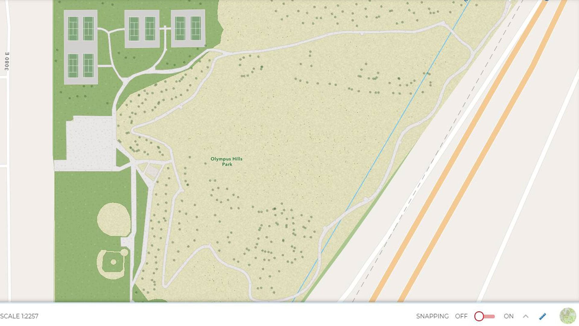
In continuing to develop this program, Esri built the Community Maps Editor app, an interactive app that enables users to create large-scale features and add more detail to Esri’s basemaps. The app’s powerful and intuitive editing environment makes it easy to create and share campus-level elements, such as sports fields, tennis courts, and athletic tracks.
Longtime Community Maps Program participant Joe Borgione uses the Community Maps Editor app to add these types of features, making his workflows more efficient. As an analyst with Salt Lake County in Utah, Borgione has helped update Esri basemaps to support local map precision and better community representation. For him, having the latest data on a map—whether it concerns sports stadiums or neighborhood parks—makes an impact.
“Working with databases, I have developed an eye for accuracy,” he said. “Having the most accurate and up-to-date data in the community maps is something I strive for.”
In turn, Borgione’s team can work with the best available data in the field to make better decisions, and other organizations can benefit from that, too.

How to Share, and Then Use, Community Data
Esri basemaps are powered by Esri’s extensive portfolio of authoritative data available in Living Atlas, the foremost collection of geographic information from around the globe. The basemaps are curated for quality and updated every three weeks.
When used in analyses alongside additional data, including the ready-to-use demographic and environmental layers in ArcGIS, basemaps provide context for a range of inquiries, from citizen awareness and policy mapping to environmental change detection and management. Esri cartographers and database engineers curate the basemaps to provide the best-available map coverage on a global scale.
To get started with contributing to these basemaps, go to the Community Maps Editor app and select an action: Provide Feedback, Edit Features, or Share Data. Guidelines for each section are available under More Details. Once data is submitted through the Community Maps Program, Esri’s curators review it to ensure that it is an appropriate addition to Esri basemaps.
Accepted data is then integrated into Esri’s global database and processed for inclusion in online and on-premises data and location service offerings, such as World Imagery and the suite of Esri Vector Basemaps. Many contributed features are suitable for inclusion in basemaps and Data Appliance for ArcGIS, Esri’s on-premises basemap offering. Additionally, address information may be included in ArcGIS World Geocoding Service, World Geocoder for ArcGIS, and StreetMap Premium for ArcGIS.