Cartography Goes Beyond Visual
What if the traditional, image-driven map isn’t accessible to you? This is where tactile mapping comes in.
What if the traditional, image-driven map isn’t accessible to you? This is where tactile mapping comes in.
Explore AI tools and workflows, get to know ArcGIS Pro 3.6, and learn how GIS skills are taught in higher education.
The Wisconsin Geological and Natural History Survey and XR Navigation are making complex digital maps accessible to everyone.
Learn to work with imagery and remote sensing data, and get primed on how to read and understand maps.
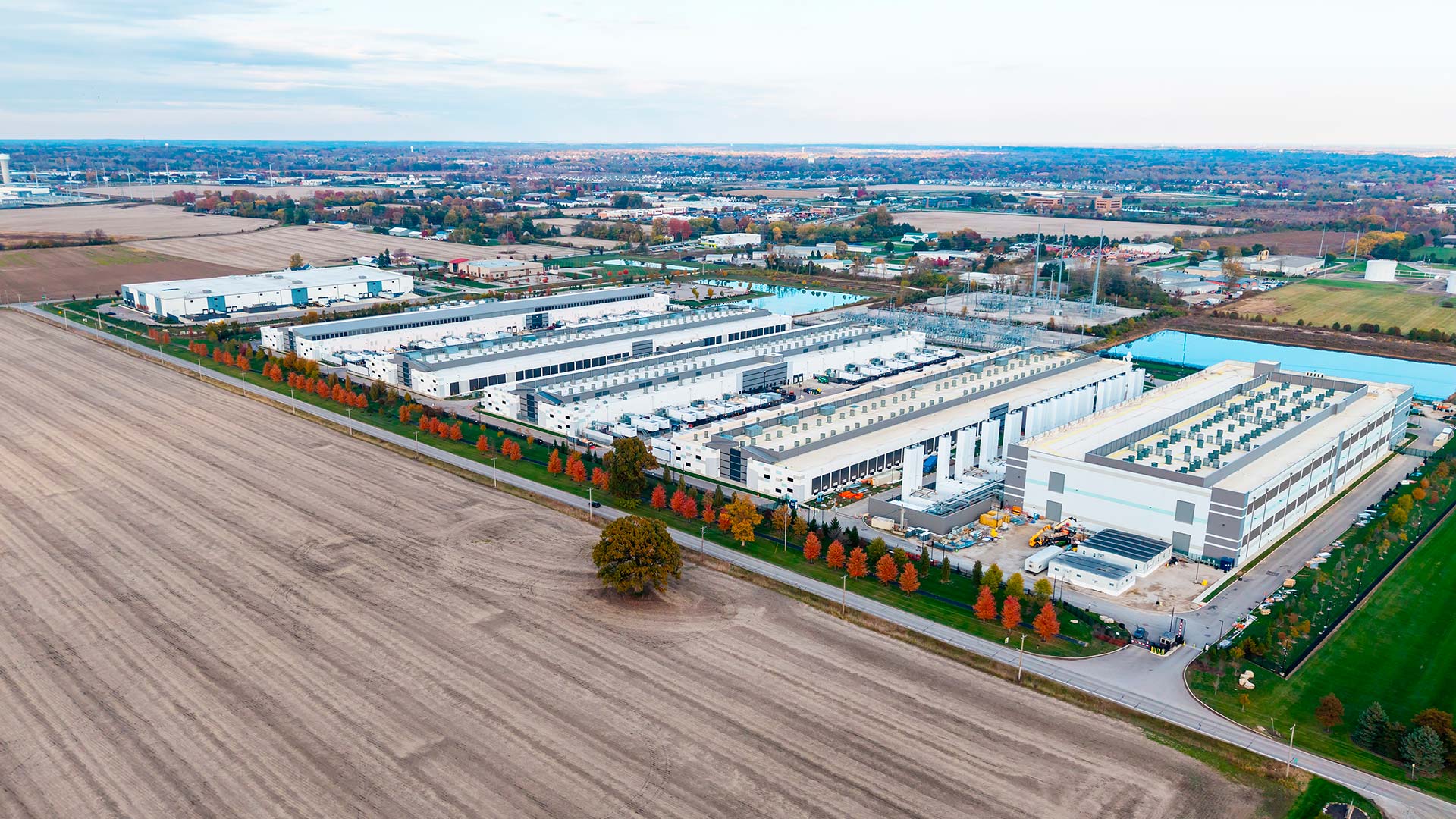
The explosive growth of data centers and AI workloads has changed how power is consumed, planned, and priced—and these maps show it.
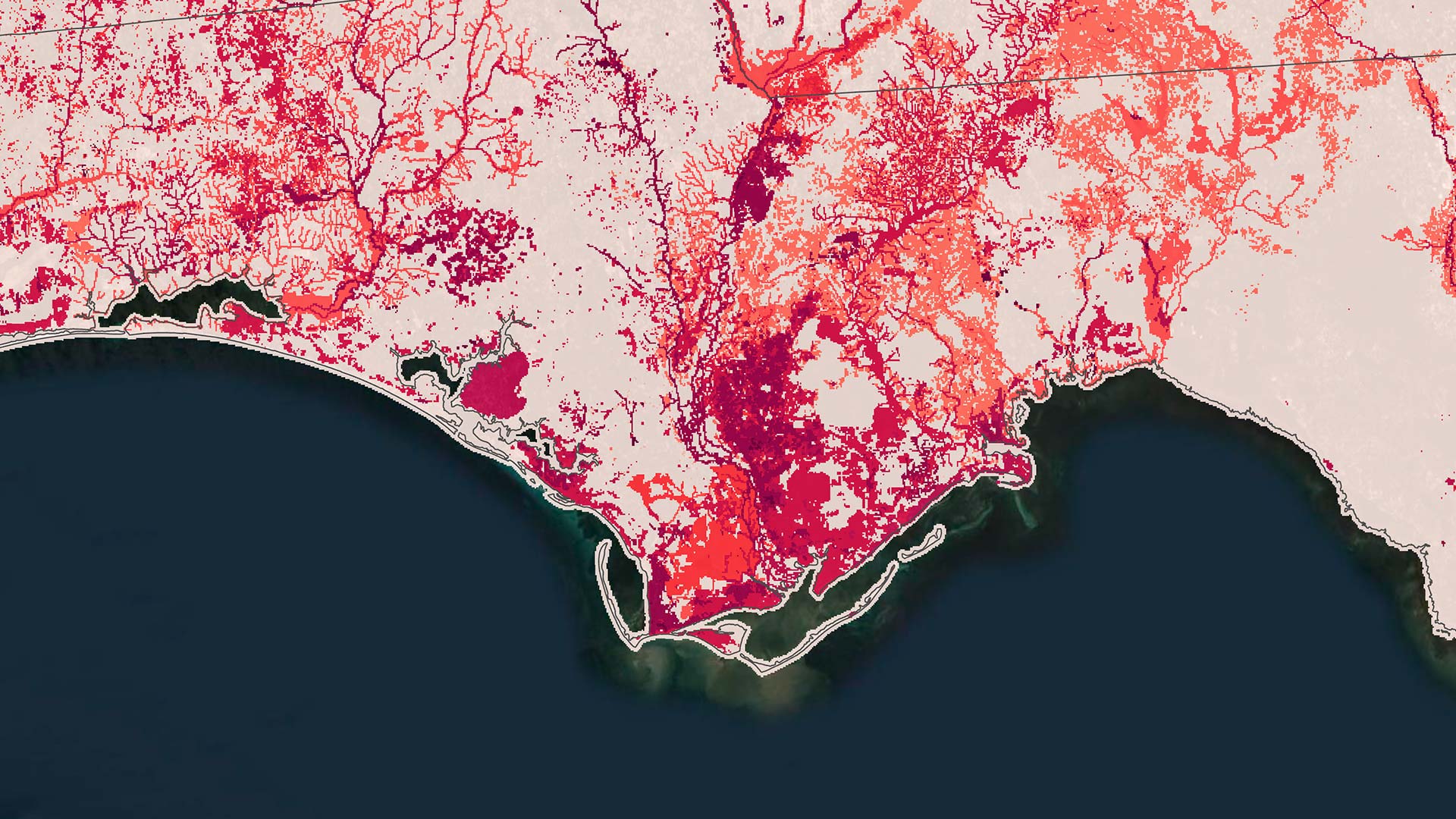
Using GIS and predictive modeling, NatureServe shows where conservation efforts matter most.
ISO 27001 provides additional data protection assurances for organizations around the world that use ArcGIS Online.
Humans have more details than ever before, but we increasingly struggle to grasp the bigger picture.
To design a powerful map is not merely to depict geography—it is to craft an argument about the world.
Find out about how Esri is helping advance 2030 censuses, funding GIS for nature-based education, and offering new pricing for basemaps.
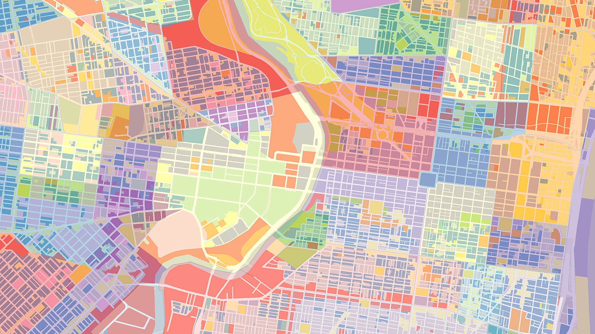
This collection of high-quality maps and layers provides a powerful starting point for developing policies that can change communities.
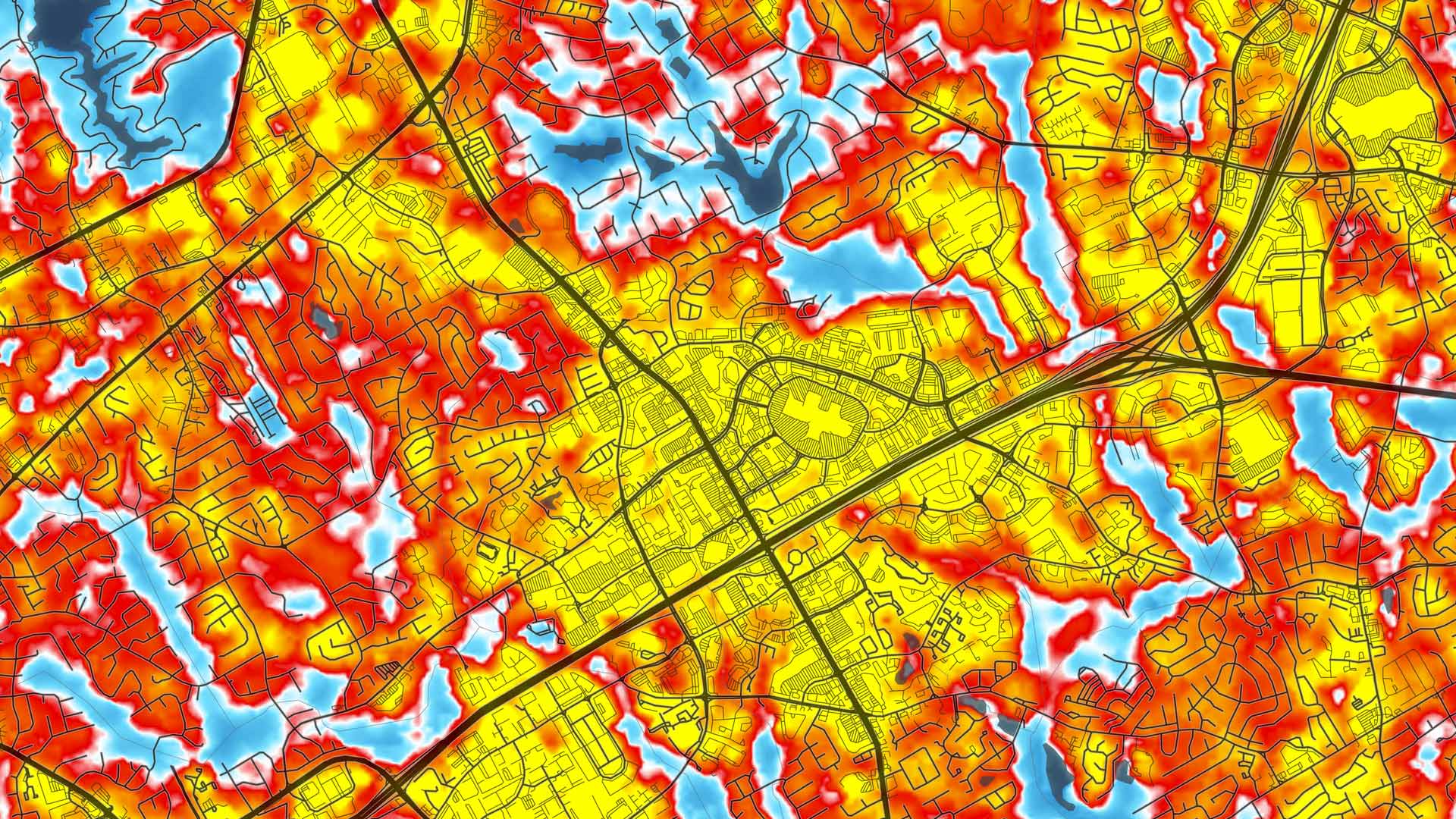
CalHeatScore—a first-of-its-kind system—ranks heat risk on a scale from 0 to 4 at the ZIP code level, helping people know when it’s too hot.