Georeferencing Augmented Reality Brings a Proposed Transit Project to Life
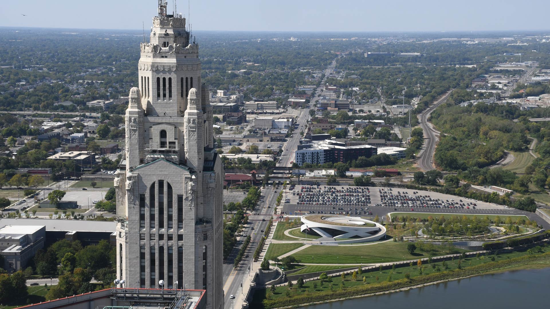
With West Broad Street in Columbus, Ohio, becoming a rapid-transit bus corridor, Esri startup partner inCitu used AR to get public buy-in.
With West Broad Street in Columbus, Ohio, becoming a rapid-transit bus corridor, Esri startup partner inCitu used AR to get public buy-in.
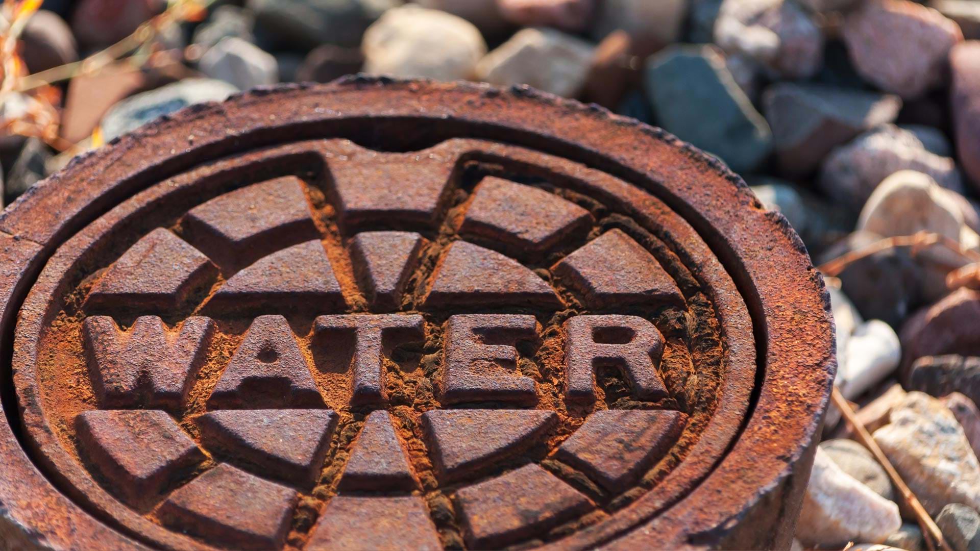
A linear asset risk model now helps Omaha’s Metropolitan Utilities District prioritize water main renewal and assessment projects.
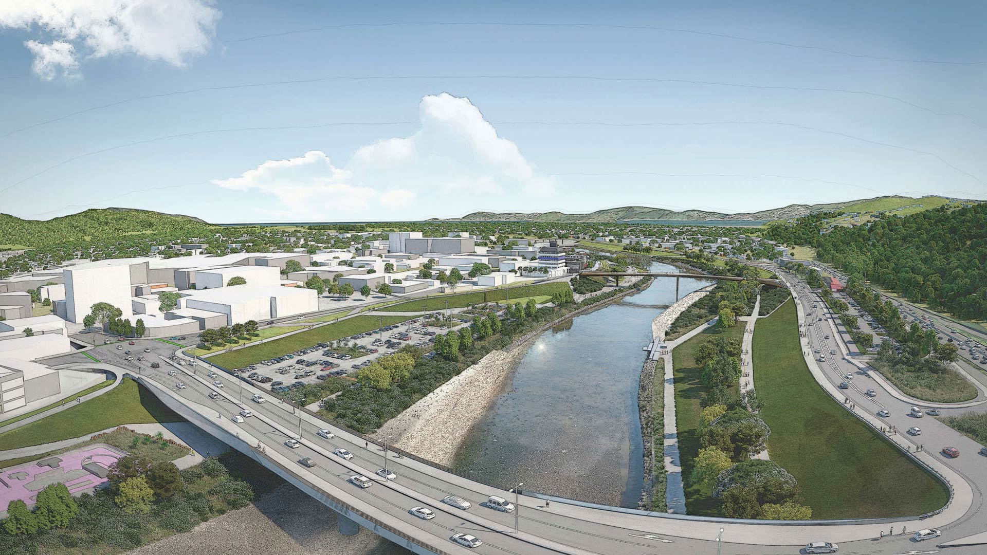
Esri startup partner Reveal helped a New Zealand community with flood protection, transportation upgrades, and urban revitalization.
Airflow Analyst uses 3D urban models and meteorological data to predict ventilation in places like stadiums and public transit stations.
In 2014, the French government launched Nouveau Programme National de Renouvellement Urbain (NPNRU), its national program for urban renewal.
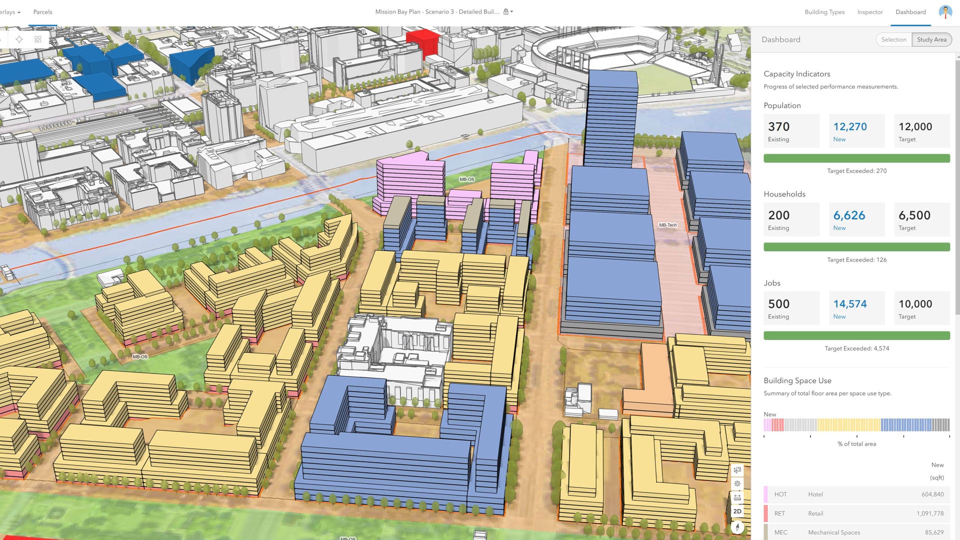
With an immersive 3D experience, ArcGIS Urban allows planners, governments, and citizens to visualize proposed development in their cities.
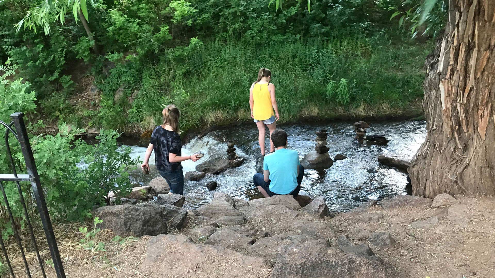
Manitou Springs, Colorado, is employing ArcGIS technology to create walking, biking, shopping, and running routes along a picturesque creek.
Esri has relationships with more than 1,800 partners globally who provide customer-focused geoenabled solutions.
Esri has relationships with over 1,800 partners globally that provide customer-focused geoenabled solutions. These partners have extensive...