Field operations are a critical component of the work many organizations do. Utilities, law enforcement agencies, public works departments, and outside sales teams all rely on field personnel to provide services and conduct daily business.

There is often a disconnect, however, between what is happening in the field and what is going on in the office, and that can leave managers and supervisors uncertain of where their field resources are at any given time. Historically, fieldwork-heavy organizations have used work tickets, two-way radios, and other tools to help bridge this divide. But getting a real-time understanding of where field personnel are has always been difficult and expensive.
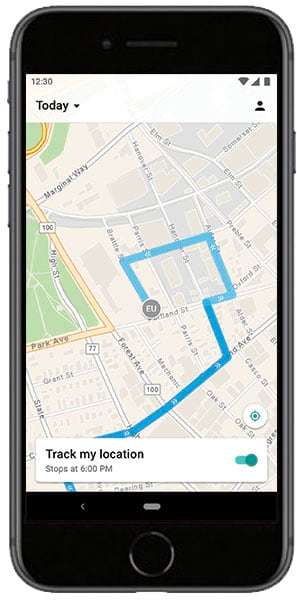
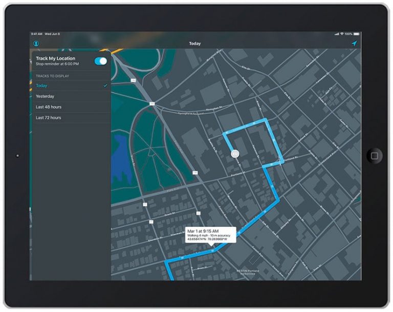
That’s not the case anymore, though. Tracker for ArcGIS, a newly introduced app from Esri, allows field personnel to share their real-time locations using a mobile app for iOS and Android devices. The track data enables supervisors and managers to identify a user’s last known location and also perform after-action analysis using the new location tracking capability in ArcGIS Online and ArcGIS Enterprise.
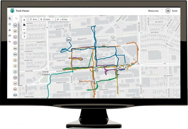
Location tracks can be viewed and analyzed by authorized viewers with the Track Viewer web app or other visualization and analysis tools in ArcGIS that leverage the location tracking capability. Managers and supervisors can then get greater insight into the location behavior of field personnel by
- Creating linear heat maps to visualize the density of location tracks over time.
- Aggregating tracks to analyze coverage over an area and identify gaps.
- Using incident detection to uncover abnormalities in track data, such as a significant change in a person’s rate of speed.
- Verifying where inspectors were when inspections were carried out.
- Deriving new datasets from locations traveled.

The following examples show how organizations that employ Tracker can better support supervisors, managers, fieldworkers, and customers:
Know Where Everyone Is—Tracker enables field personnel to securely share their locations with supervisors who benefit from seeing where their workers are. Knowing the precise locations of the field workforce helps supervisors verify work, monitor safety, and better coordinate personnel and resources in response to unplanned events.
Review Where People Have Been—Tracker stores location tracks so they can be accessed and reviewed later. Stored location tracks can be used to analyze the places workers visited during their shifts. This helps prove that work was conducted at a specific location, measure whether contractors met service-level agreements, and even derive new datasets—on crime patterns or speed limit violations, for example—using the tracks collected.
Improve Efficiency in the Field—Analyzing a workforce’s location behavior can improve operational insight and boost efficiency. Command chiefs, operations managers, and field supervisors can find patterns that contribute to gains or losses in efficiency, discover areas where compliance requirements aren’t being met, identify potential process enhancements or corrections, and better understand the balance of staff resources relative to where needs exist.

Support Field Personnel—Using Tracker allows fieldworkers to see where they are and where they have been so it’s clear whether the intended territory has been covered. When the day is done, field personnel can easily turn off the Tracker mobile app. They retain complete control over when they share their location and can set reminders to prompt them to start and stop sharing their tracks.
Empower Your Organization with Tracker
The Tracker mobile app is available for download from the iTunes App Store, Google Play, and the Amazon Appstore. To sign in to the app, users need a premium app license for Tracker for ArcGIS. The Track Viewer web app can be used by ArcGIS administrators to create track views (feature service views), as well as by any authorized supervisor to view tracks.
Tracker is a premium app that can be added to any ArcGIS User Type license.