Soon after coronavirus disease 2019 (COVID-19) was first detected in mainland China, requests for assistance began to pour into Esri’s Disaster Response Program (DRP).
DRP, a free service that Esri makes available as part of its corporate citizenship, is designed to help customers when their GIS capabilities are exceeded during an active incident response. It was established by Esri more than 25 years ago shortly after the 1993 Northridge earthquake in Southern California to formalize its emergency response efforts.
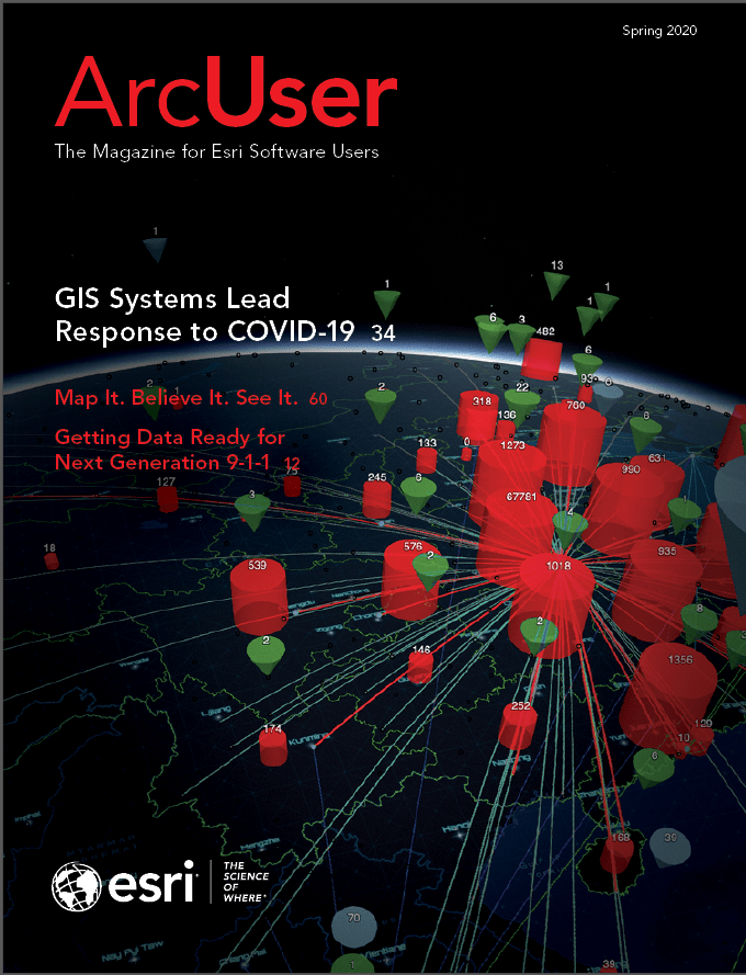
“During its first 25 years of operations, the Esri DRP has answered thousands of requests for assistance,” said Ryan Lanclos, Esri’s director of public safety solutions and DRP. “By comparison, we responded to about as many requests for COVID-19 support by the end of March 2020.
“Requests have come in from all over the world, from small communities to multinational organizations and global companies alike. This pandemic is affecting all of us, and I’m grateful we can offer assistance to those working on the front lines.”
More than 100 of Esri’s technical specialists are staffing DRP to support customers involved in the COVID-19 response. Among its services, DRP resolves technical support issues, provides additional software when necessary, points customers to available data, and helps configure solutions to address common workflows for crisis response. Primary requests for product support include ArcGIS Online, ArcGIS Hub, ArcGIS Dashboards, ArcGIS Desktop, ArcGIS mobile applications, and configurable web apps.
About the author