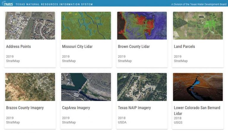
Within just four years, The Texas Natural Resources Information System (TNRIS), a division of the Texas Water Development Board, created a standardized, nearly statewide database of basic land parcel information and address points. At the project’s outset, the availability of digital land parcel information from county appraisal districts was restricted for a variety of reasons. TNRIS made this data, as well as address point data, readily available as online services through an ArcGIS Hub site. Land parcel and address points are fundamental to government activities such as state lands management, transportation, water resources, public safety, and emergency response.
The 2016 release of The Texas Geographic Information Landscape, a report by the state’s geographic information officer (GIO), identified land parcels and address points as high-priority datasets. This launched TNRIS on its journey to aggregate and standardize this data and make it available. The mission of TNRIS is to bring together the Texas GIS community at all levels from all areas of the state to identify and prioritize geospatial data needs; establish consistent standards to facilitate interoperability; and serve timely, accurate, and accessible data.
Data transformation can be intimidating and can include appending, standardizing, and analyzing geospatial data from multiple sources to create various outputs. The transformation of most of the datasets was completed using Data Assistant, an ArcGIS Pro add-in that comes with the Community Parcels ArcGIS Solutions for State Government.
While the number of geoprocessing tools in ArcGIS Pro seems to be endless, Data Assistant proved to be an exciting and useful transformation tool. Data Assistant includes tools that have been optimized for migrating data from a source dataset to a target dataset that may have a different schema. While it is promoted as a land parcel and address point aggregation tool, it can be used to transform other geospatial datasets into a target schema. The schema of target datasets for this project was developed by TNRIS with input from more than 30 Texas stakeholders and informed by industry standards and best practices.
Other options for transformation included FME Desktop and the ArcGIS Data Interoperability extension (a subset of FME) for ArcGIS Pro. While these other options were viable, they come with additional costs and/or learning curves. The amount of time it took to learn Data Assistant was negligible and comparable to learning a new geoprocessing tool.
The process of transforming data using Data Assistant is straightforward.
First, create an empty feature class of the target schema that includes a metadata shell and field descriptions.
- Then create a unique ArcGIS Pro project for each source area, and import source and target datasets into the geodatabase.
- Load Data Assistant in ArcGIS Pro.
- Choose New File from the Data Assistant ribbon, point to the original data and target data, and save in the ArcGIS Pro project.
- Load the configuration file in Data Mapper, and map the source data fields to the target data fields.
- Set values or perform functions, such as Left 5 for zip, at the bottom of Data Mapper, and run Append Data.
- If for some reason the tool cannot process the data, there will be an explanation in the geoprocessing history log.
Data Assistant saved TNRIS time and money by quickly processing hundreds of datasets. Also, the source-target configuration file in Data Assistant can be reused if the source and target schemas do not change. This reproducible workflow will facilitate the ongoing annual updates to statewide land parcel and address point datasets in Texas.
By the beginning of 2020, the TNRIS DataHub contained nearly statewide coverage of land parcels and address points. Datasets are accepted as is from authoritative sources, the data is standardized into a common schema, and then it is shared with the public.
Currently, the TNRIS Strategic Mapping Program, or StratMap, aggregates statewide land parcel and address point datasets on an annual basis. StratMap outputs land parcels from more than 245 appraisal districts and approximately 10 million address points across Texas.
In this video, the Texas Department of Transportation (TxDOT), Texas General Land Office (TxGLO), and Texas A&M Forest Service talk about the importance of Land Parcel and Address Point data.
About the author