Jeremiah Johnson, a lead solution engineer at Esri, has watched the drone industry’s evolution from its largely unregulated early days to its current state as an essential tool for data collection and analysis. With a background in spatial sciences and experience as a certificated airplane pilot, Johnson has unique perspectives on the convergence of aviation and data science.
At Esri, Johnson is responsible for drone-related initiatives and oversees the flight certification process for Esri employees. In this Q&A, he provides guidance and suggestions for anyone interested in the burgeoning field of drone piloting and the diverse career paths it can lead to.
Q: Tell us about your career path. How did you get involved in piloting drones? And what changes have you seen in the industry?
A: Since I was a kid, I was passionate about aviation and anything that flew. I knew I was going to be a pilot; I just needed to find a college degree that would be conducive to flying airplanes. I ended up finding a degree at Texas A&M University called “Spatial Sciences” that taught me the principles of remote sensing, geographic information system (GIS) technology, and GPS systems. While I was in school for my undergraduate degree, I also took flying lessons and got my pilot certificate.
Drones are incredibly pervasive in the geospatial world today, and it’s important to be involved in the tools that will be used in the future. This was true when I first started working with drones. However, as drone use was more experimental then, the drive was more about defining how drones could be used. Today, the emphasis is more about scaling how drones can be used.
Q: What types of training or education are needed to begin a career as a drone pilot?
A: In addition to the field-specific education, which I highly recommend everyone does, there is drone-specific training required. In the United States and many other countries, there is a test that needs to be passed to fly drones commercially that covers drone regulations and flying safely in the airspace alongside crewed aircraft. This test is not easy, but by reading and taking practice tests, one should be able to confidently pass the written examination after three months of studying.
Then, of course, a person needs to know how to fly drones. The only way to do this is a lot of practice! I recommend purchasing a low-cost ($30) indoor drone and trying to fly circles, squares, and figure eights around a room. Then, if possible, get a drone with a camera that you can fly outdoors and practice flying and getting various “inspection” type images or videos using the manual flying skills you gained indoors.

Q: What qualities and skills does a person need to be successful in this field?
A: This is still a rapidly expanding technology, so a big skill for future growth is maintaining curiosity. Not everything has been “figured out” yet, so exploring better ways to accomplish tasks or learning about new technologies to help will keep you on top of your game and always at the forefront of the field! A curious person is always learning, asking questions, and watching others do things differently.
Client communication is also important because it’s a pilot’s job to inform the client of how things can and can’t be done, depending on the regulations.
Q: Is it better to be a generalist who can fly any mission, or to become a deep expert in a single industry?
A: Being able to say that you can fly any kind of drone mission is fun to think about. But the number of pilots who are generalists is getting smaller and smaller. It’s important to specialize in a particular industry and to get a degree in something that will support your drone career rather than just going full-on into flying drones. Simply being a drone pilot is probably not going to be good enough.
Q: What’s the typical “toolkit” of a drone pilot?
A: It all depends on the type of data collection that you’re going to be doing. For example, if you know you’ll be flying a drone for a certain amount of time, you need to make sure you have the batteries to achieve that and a way to charge those batteries if needed. Then there’s the hardware like thumb drives and SD cards and hard drives—that’s important because more than ever, you’re likely going to be collecting a lot of data.
As for the software, it also depends on what you’re doing. If you’re flying mapping missions, you’ll have to know your mapping software. If you’re flying creative missions, you’ll need to know the software that helps you control the camera, whereas on the engineering and mapping side, a lot of times that’s set-it-and-forget-it. At Esri, for example, we use a suite of ArcGIS apps to plan missions, process raw data, and share the final content.
Q: What are the different fields or areas that a drone pilot can work in? Are there any fields where this job will be more in demand in the future?
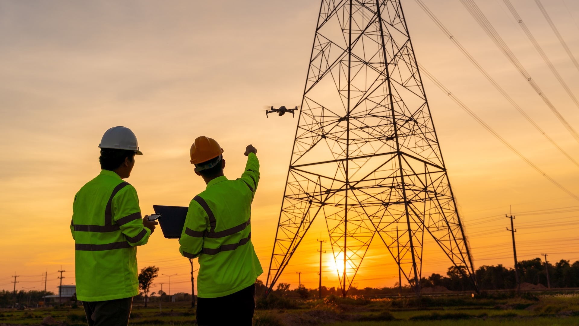
A: Drones are seen as a standard toolbox in a growing number of industries. Nearly any business or organization that could benefit from on-demand images and videos from above is starting to implement this technology. In the future, drones are going to be more in demand in a completely autonomous way. For example, a city looking to enhance safety and security by implementing drones as first responders, or a construction site deploying drones to map the site daily, track progress, and ensure everything is being built as designed. Or utilities hoping that automated drone inspections can help find possible issues before something happens.

Q: What next steps would you suggest for someone wanting to pursue this career?
A: There are great resources online—such as on LinkedIn and YouTube—that show various examples of how drones are used in the workforce today. It’s important to start with a field that you’re interested in and learn more about how drone use could support that field. Find some companies or experts that are already doing this and learn from their examples. Then, when you’re ready, feel free to reach out to someone and go out in the field to learn about how these tools are used by professionals today.
Esri Academy has several courses that help provide a full view of the company’s drone mapping software. We’re also working on an imagery MOOC (massive open online course) where we will have subject matter experts, including myself, give helpful tips and instruction on drone workflows and more. Finally, you can leverage Esri’s regional and global user conferences to learn from others in the industry.
Q: What’s the best piece of advice you can provide for succeeding as a commercial drone pilot and building a strong professional reputation?
A: If you want to have a long-term career as a drone pilot, you need to be diligent at ensuring that your drone operations are completed safely and collect the data that your client or boss is asking for. The second most important piece is staying humble. No matter how successful you are, there’s always something to learn and other people who can do it better.
But there’s one thing I want a reader to walk away with: Knowing when to fly a drone is just as important as knowing how to fly the drone. You need to know why the data needs to be collected and processed for it to be usable, and what people are going to use this data for. That will tell you how to fly the drone in the most effective way.
Esri offers a wide variety of MOOCs, tutorials, and other resources for remote sensing, drone piloting, and GIS.
