How Raleigh’s GIS and Drone Program Is Shaping the Future of Smart Cities
A unified GIS and drone workflow delivers powerful results, from more accurate damage assessments to more efficient asset inspections.
A unified GIS and drone workflow delivers powerful results, from more accurate damage assessments to more efficient asset inspections.
Solutions engineer Jeremiah Johnson talks pilot training, learning resources, and what skills you need to be successful in the field.
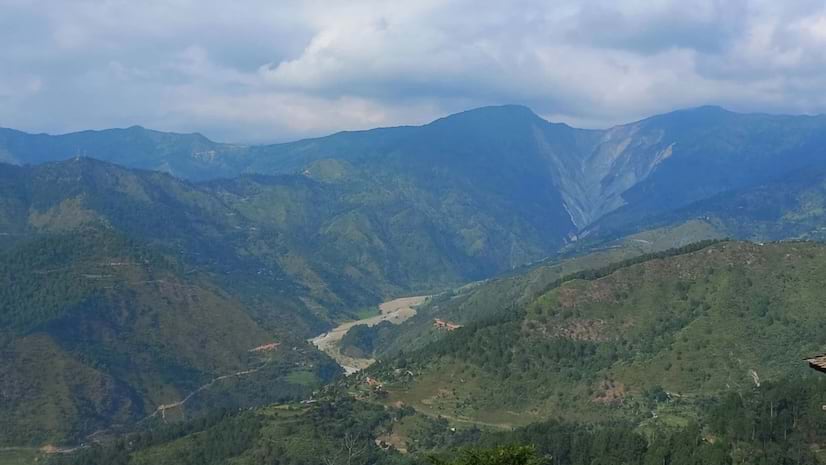
The Nepal Flying Labs initiative localizes drone training and access in Nepal and other disaster-prone countries from the Global South.
Matt Ball from Esri explains why drones are becoming an essential tool for local governments and businesses.