Esri Will Introduce New Landsat Image Services
ArcGIS Online Landsat image services will be updated this spring with Landsat Collection 2 imagery. Collection 1 imagery will be retired.
ArcGIS Online Landsat image services will be updated this spring with Landsat Collection 2 imagery. Collection 1 imagery will be retired.
This new two-and-a-half-hour web course teaches how to craft Arcade expressions to customize map labels, pop-ups, and symbols.
Learn to manage ArcGIS Online organizational account members, including assigning and unassigning licenses and adding members to groups.
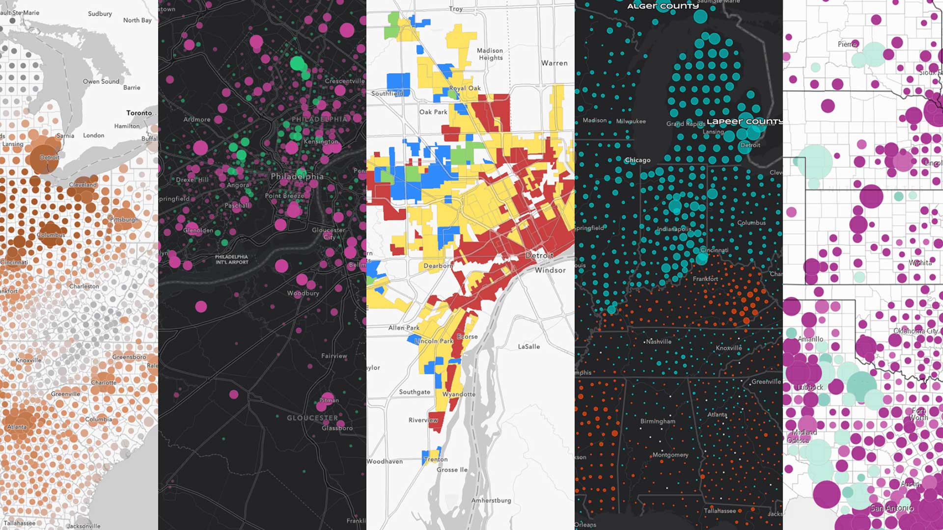
Esri technology evangelist Bern Szukalski highlights noteworthy new or improved capabilities that were added to ArcGIS Online last year.
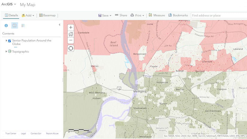
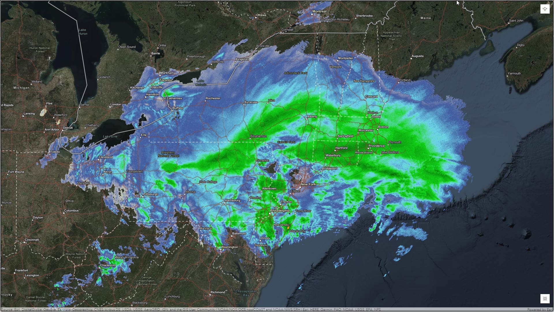
Learn to use ArcGIS Online and the feeds and content from ArcGIS Living Atlas of the World to make a weather map in a minute or less.
Get access to ArcGIS apps, learn from experts, and build skills to create apps without writing code during an online class that starts in March.
An ArcGIS Online update brought many enhancements such as a better 3D visualization and the enforcement of HTTPS, ensuring all data is encrypted.
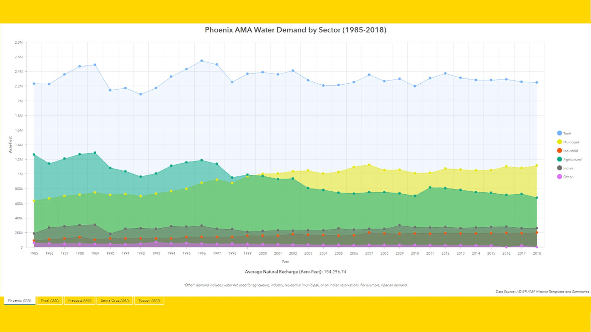
The Arizona Water Blueprint Viewer was created using ArcGIS Online and its configurable ArcGIS Web AppBuilder, along with ArcGIS Pro.
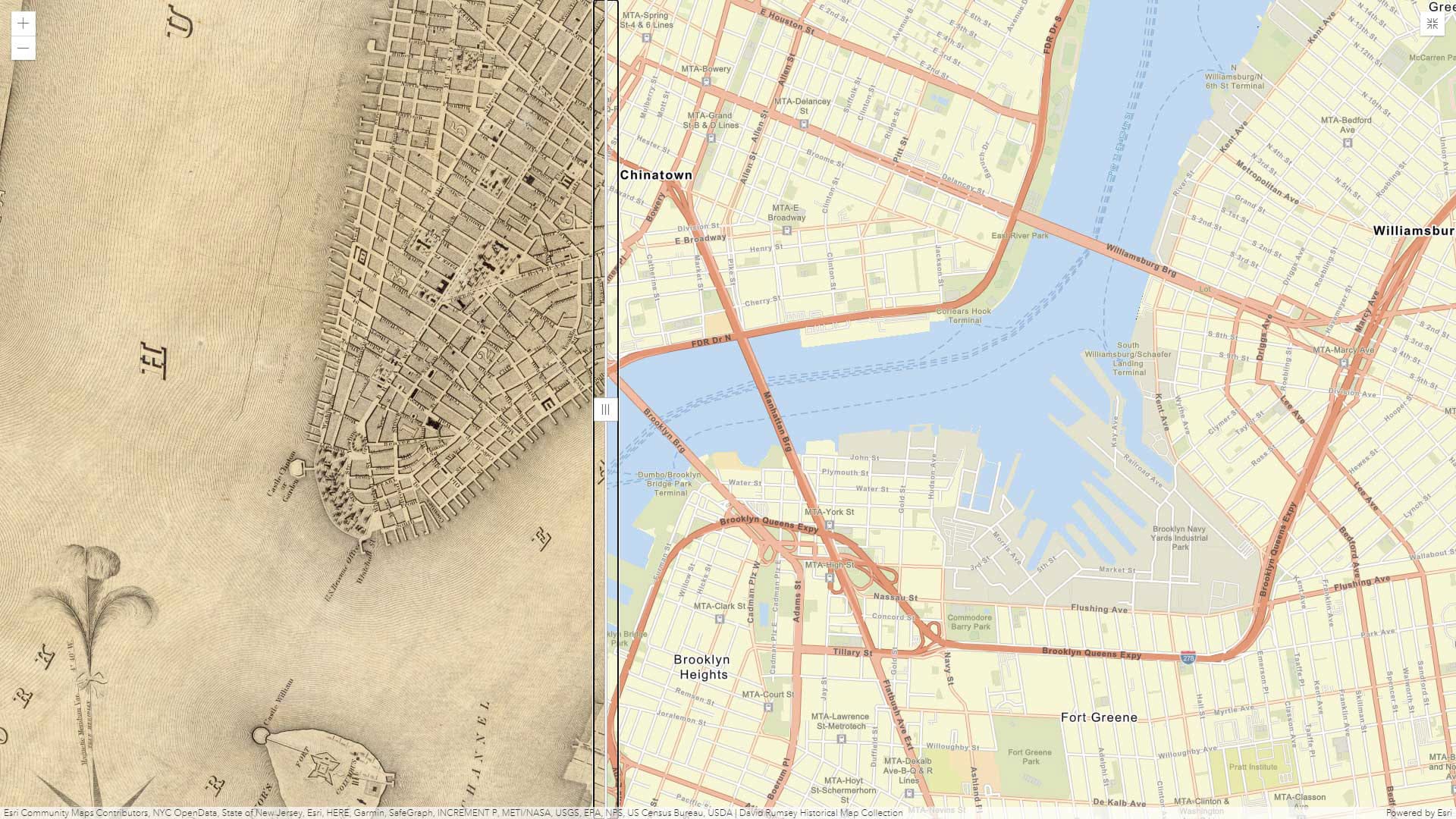
Learn how to create a simple application that features a swipe tool, using Media Map, one of the configurable app templates in ArcGIS Online.
The City of Sacramento integrated ArcGIS with Salesforce in its 311 system, giving users the ability to track the progress of incident reports.
With the release of ArcGIS Pro 2.6 and Map Viewer Beta, you can now publish your own 2D symbols to ArcGIS Online using web styles.
Michigan State University used ArcGIS technology to streamline its litter management system on its sprawling 2,000-acre campus in East Lansing.