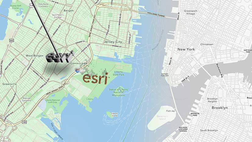
Learn to Customize an Esri Basemap to Fit with Your Brand Identity
Learn the process of customizing an Esri basemap to meet your branding needs.
Learn the process of customizing an Esri basemap to meet your branding needs.
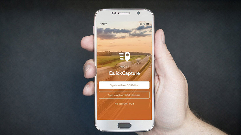
Learn to create a feature layer for your ArcGIS QuickCapture project using either ArcGIS Online or ArcGIS Pro.
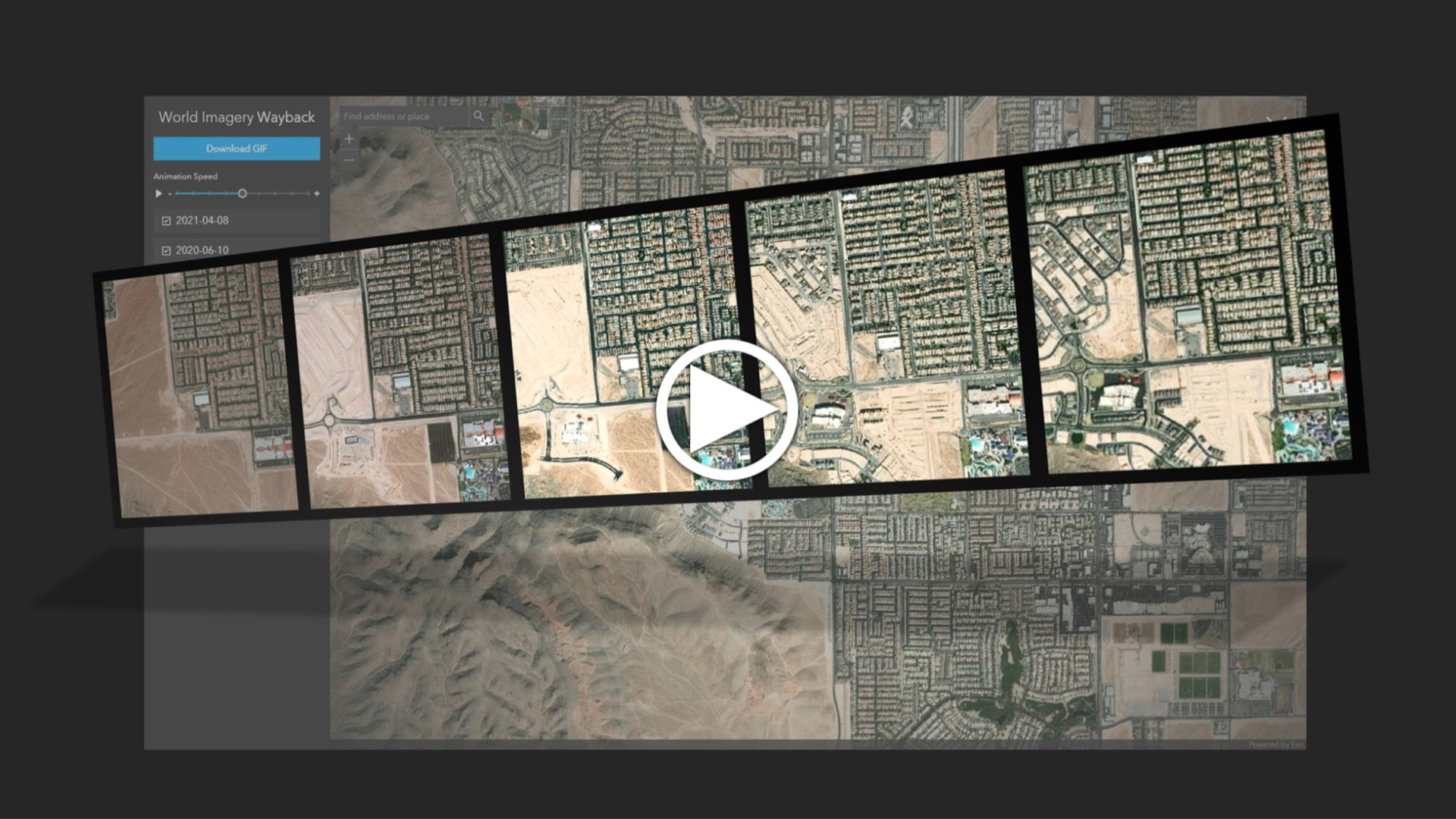
Learn to create and share animations of your images of interest using the World Imagery Wayback app.
Scott Sambell,of Ethos Environmental talks about the use of ArcGIS technology to eradicate invasive species in New Zealand.
Caitlin Scopel of Esri shares tips on how to deprecate outdated maps and layers.
Find out what's new in ArcGIS Online including Map Viewer updates, the data download capability, and two instant app templates.
Broadcast news and notices to your organization's members and visitors via information banners and access notices.
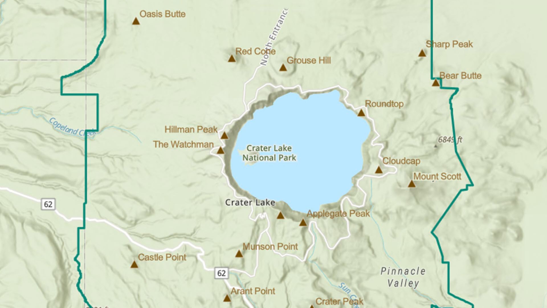
Map Viewer in ArcGIS Online now includes an offset option for labels. Using it will ensure labels on your map will be easy to read.
Durham-Chapel Hill-Carrboro Metropolitan Planning Organization used Esri software and Microsoft Azure to recover from a cyberattack.
Esri technology evangelist Bern Szukalski shows you how to sync 2D and 3D maps in ArcGIS Experience Builder using triggers and actions.
Staff at Telluride Ski & Golf explain how they use a cloud-based geospatial infrastructure or digital twin to manage operations.
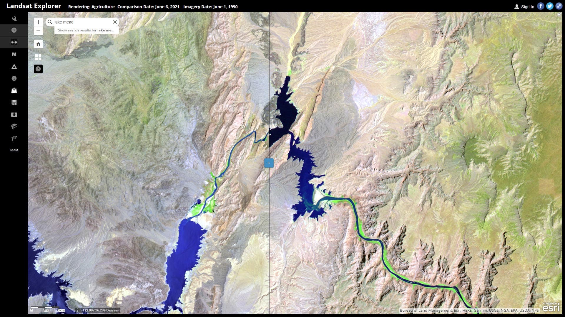
Learn how to explore Lake Mead water levels over time using ArcGIS Living Atlas of the World content and Landsat Explorer.