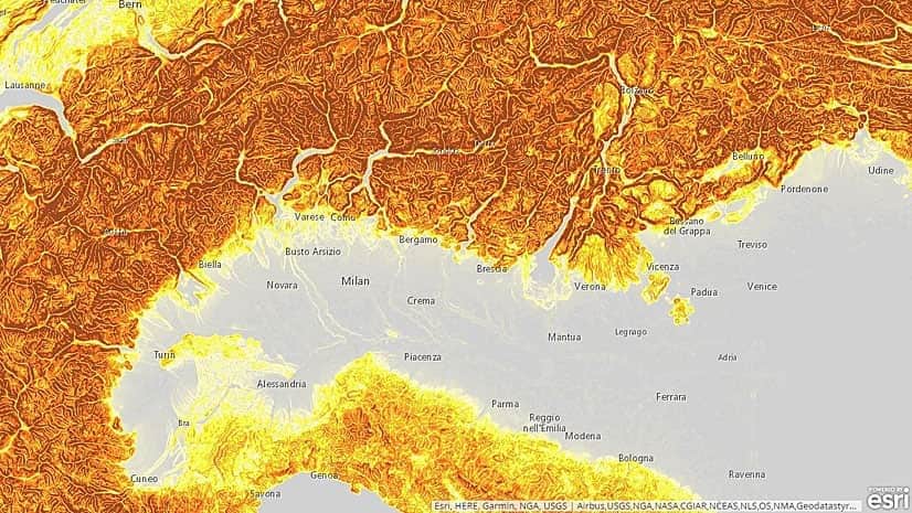
Create and Use Elevation Layers in ArcGIS Online and ArcGIS Pro
You can now create your own hosted elevation layers in ArcGIS Online.
You can now create your own hosted elevation layers in ArcGIS Online.
If you want to know where 3D mapping is going and how UAVs play a role, register to attend the Esri 3D Mapping Forum in California this July.
3D mapping is now available across the Esri platform, says Nathan Shephard from the 3D visualization team.
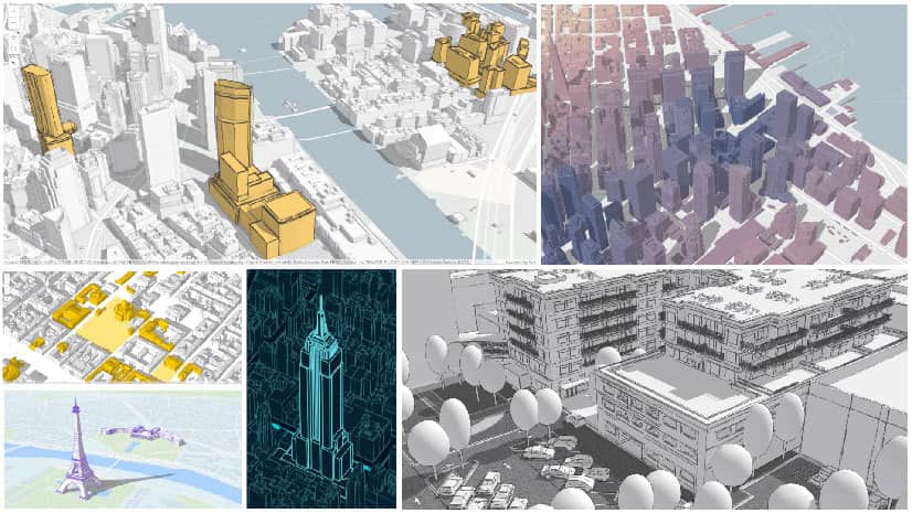
To make design options real, urban planners, architects, and designers need strong 3D visualization power.
Esri’s Kenneth Field used ArcGIS Pro to create a 3D web scene of airline flight data from openflights.org. He calls it Airflow Globe.
Esri's Rajinder Nagi gives you a tour of the tool collection available in the ArcGIS Living Atlas of the World.
You can use ArcGIS API for JavaScript to render the edges of buildings to improve the perception of a building's actual shape,
Recent improvements to Scene Viewer, including new point visualization capabilities and 3D symbols, will make your 3D scenes pop.
Which peaks comprise the Seven Summits? Compare mountains such as Everest, Aconcagua, and Denali side by side in a 3D scene created using ArcGIS.
3D GIS capabilities in Esri ArcGIS software, users can create a highly realistic representation of geographic information in three dimensions.