Security First: Geospatial Workflows for a Safe and Equitable World
This new book from Esri Press shows readers how to use geospatial tools and data to analyze complex issues.
This new book from Esri Press shows readers how to use geospatial tools and data to analyze complex issues.
Learn about a practical framework designed to help organizations manage their GIS program and develop their GIS capabilities.
Discover how organizations are powering greater automation, prediction, and optimization with GeoAI in this new book from Esri Press.
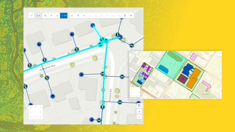
Explore the intuitive interface of ArcGIS Web Editor and watch live demonstrations of its popular editing tools in this September seminar.
Discover ArcGIS capabilities for acquiring and managing imagery through 2D and 3D visualizations in this new MOOC opening on October 22.
In this instructor-led course, learn advanced concepts and workflows to create web apps enriched with GIS content—all without writing code.
Learn how to structure a story, use maps to tell that story, and apply techniques to create an immersive experience in ArcGIS StoryMaps.
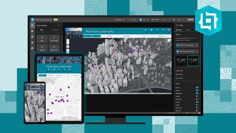
In this instructor-led course, learn design techniques and ArcGIS workflows to create and share professional-quality information products.
In this free course, learn how the application of spatial data science uncovers hidden patterns and improves predictive modeling.
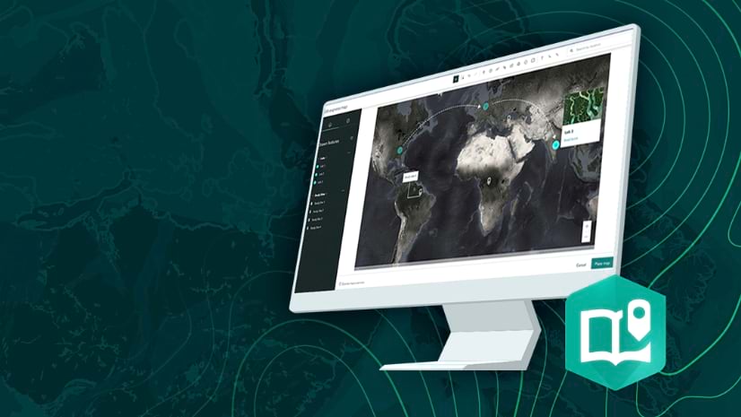
In this tutorial, learn how to use ArcGIS Pro to create a short animation of earthquakes in Japan.
The annual book showcases the fascinating maps presented at the yearly Esri International User Conference Map Gallery exhibition.
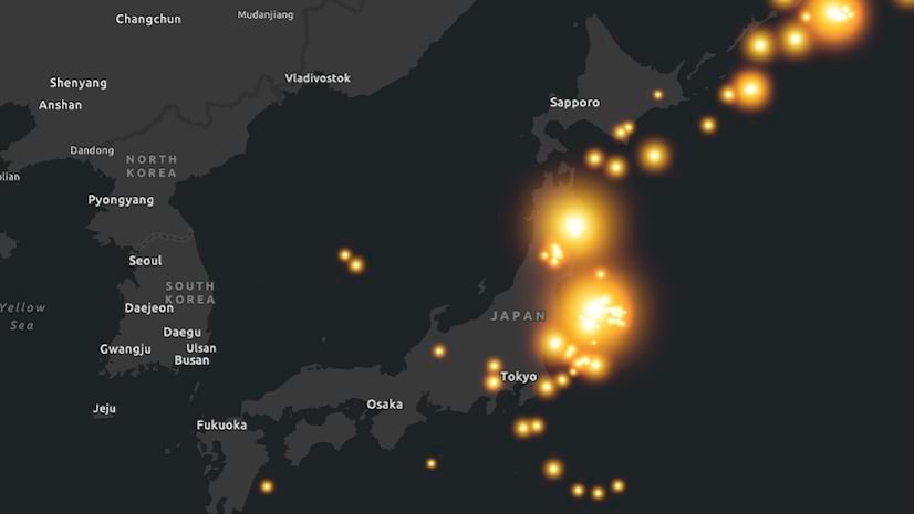
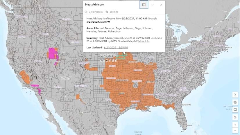
In this tip, learn how to add weather warning layers and create your own heat map.