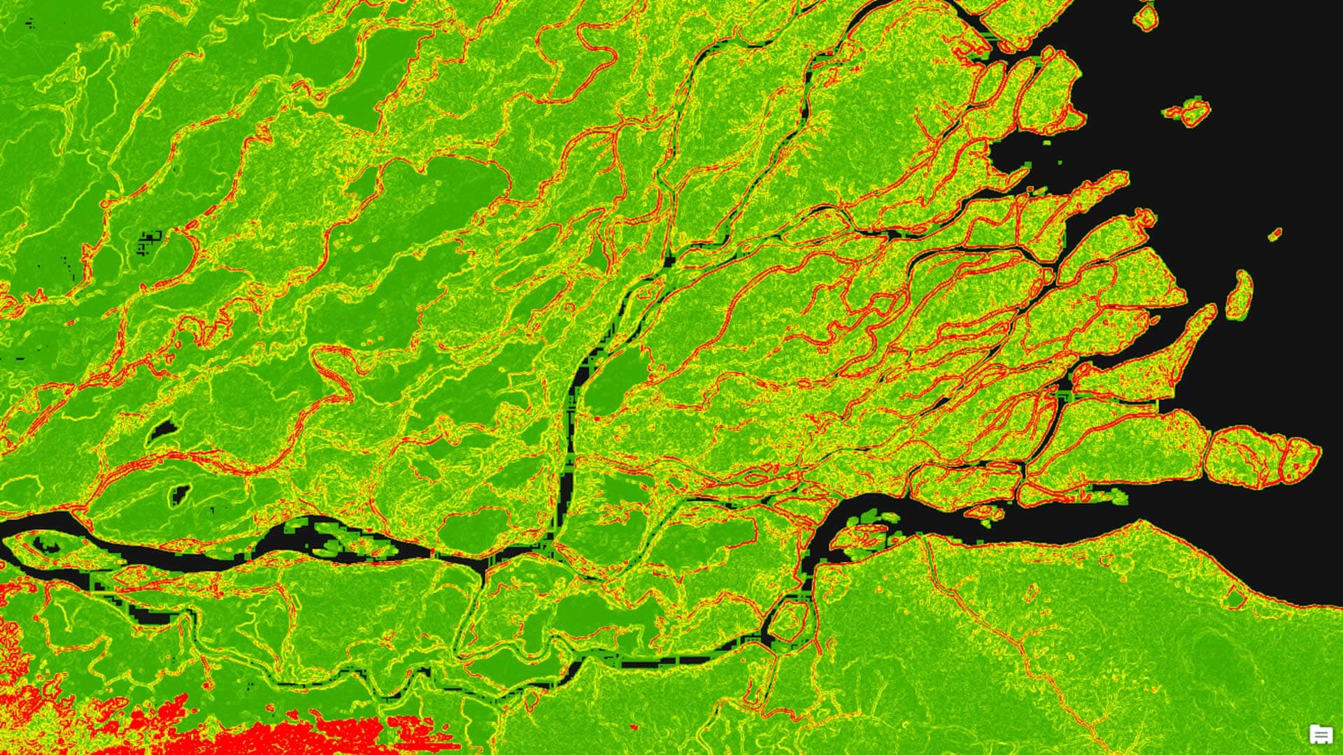
Seeing Green in the Scenic Chattanooga Region
Thrive Regional Partnership is using geodesign technology and methodology to plan smartly and sustainably.
Thrive Regional Partnership is using geodesign technology and methodology to plan smartly and sustainably.
Felicia Alingu from Cobb County in Georgia used Insights for ArcGIS to study data on what drives visits to senior centers,
Learn how to work with the Terrain layer, a versatile raster elevation layer that's available from the ArcGIS Living Atlas of the World.
Felix Finkbeiner, founder of Plant for the Planet, mobilizes a global tree-planting project to slow climate change.
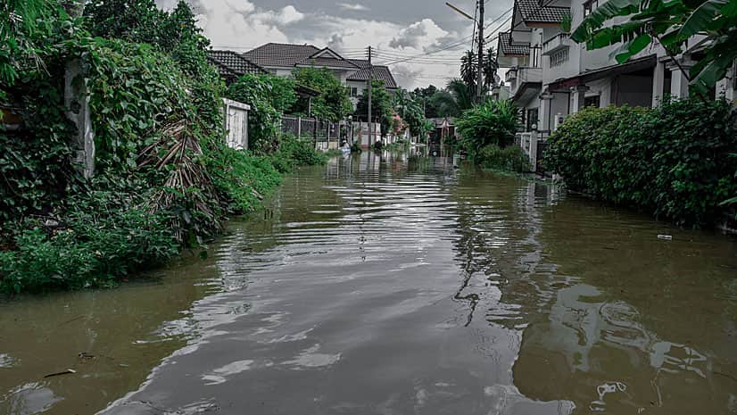
This tutorial will show you how to perform a suitability analysis to create a web map of flood risk.
Steve McCulla from Belron, a business with brands such as Safelite AutoGlass and Carglass, shares a story of how the company uses GIS.
Location intelligence answers the where questions and the who, what, when, why, and how much questions.
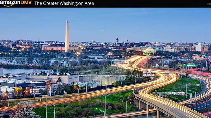
Turns out that was. Watch how Esri data and technology were used to analyze the Washington, DC, area's suitability as an Amazon headquarters.
Esri’s spatial analysis development team demonstrates a series of spatial statistics tools in ArcGIS, including Central Feature...
Esri president Jack Dangermond believes that GIS and geoanalytics will play a major role in applications for the Internet of Things (IoT).
Esri recently introduced the relationship map, which gives you a new way to visualize and compare your data within ArcGIS Online...
ArcGIS Business Analyst Web App now includes access to 2018/2023 demographic estimates and projections for the United States...