Signs of Life
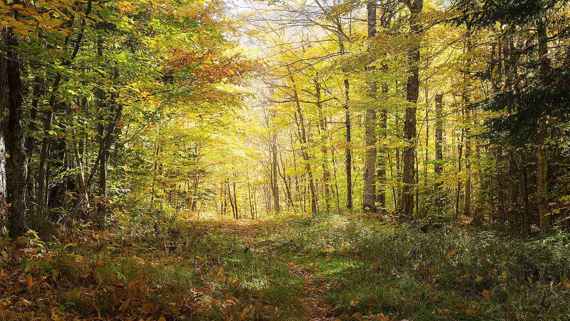
New trail markers and an Esri app speeds the response to emergency calls from hikers on a state park trail in Long Island, New York.
New trail markers and an Esri app speeds the response to emergency calls from hikers on a state park trail in Long Island, New York.
Esri technology evangelist Bern Szukalski shows you how to add audio files to Story Map Tour apps.
Want to hone your GIS skills and knowledge? Read these six books from Esri.
You can use ArcGIS API for JavaScript to render the edges of buildings to improve the perception of a building's actual shape,
Brighten the look of your maps when you use the new firefly symbols, available in ArcGIS Online. Cartographer John Nelson from Esri walks you...
In this Learn ArcGIS lesson, you will learn how to use ArcGIS Pro to create a localized, custom basemap and then publish it to ArcGIS Online.
Esri offers Arxys servers preinstalled with ArcGIS Enterprise software. You can use a package solution like this to complement or upgrade your...
Recent improvements to Scene Viewer, including new point visualization capabilities and 3D symbols, will make your 3D scenes pop.
Ty Fitzpatrick and J. D. Overton from Esri answer some commonly asked questions about ArcGIS Pro and share their tips and tricks on how to use...
The Story Maps Gallery features some of the best story maps created by Esri staff and ArcGIS users. If you want to submit your story map for...
African Parks predicts and monitors the movement of poachers in Garamba National Park in the Democratic Republic of Congo, utilizing...