Let’s Get Technical
All customers with a current maintenance subscription have unlimited access to technical workshop recordings from the 2020 Esri User Conference.
All customers with a current maintenance subscription have unlimited access to technical workshop recordings from the 2020 Esri User Conference.
Celebrating GIS Day virtually may bring in more participants than ever before to your event. Find out how to make it interactive and interesting.
The first virtual Esri User Conference (Esri UC) engendered a global camaraderie and a hope for creating a geospatially literate society.
The National Geographic Society and Esri are teaming up to create new digital experiences that leverage geography and GIS.
Esri honored several organizations with awards at the Esri User Conference this year, including the creators of a popular COVID-19 dashboard.
To learn about the insights GIS will give us in this challenging new era, tune into a replay of the Esri User Conference Plenary Session.
Esri president Jack Dangermond gave a talk at the 2020 Geodesign Summit about how science and geodesign can help create a sustainable future.
Esri president Jack Dangermond will host a virtual Esri User Conference from July 13-16, 2020.
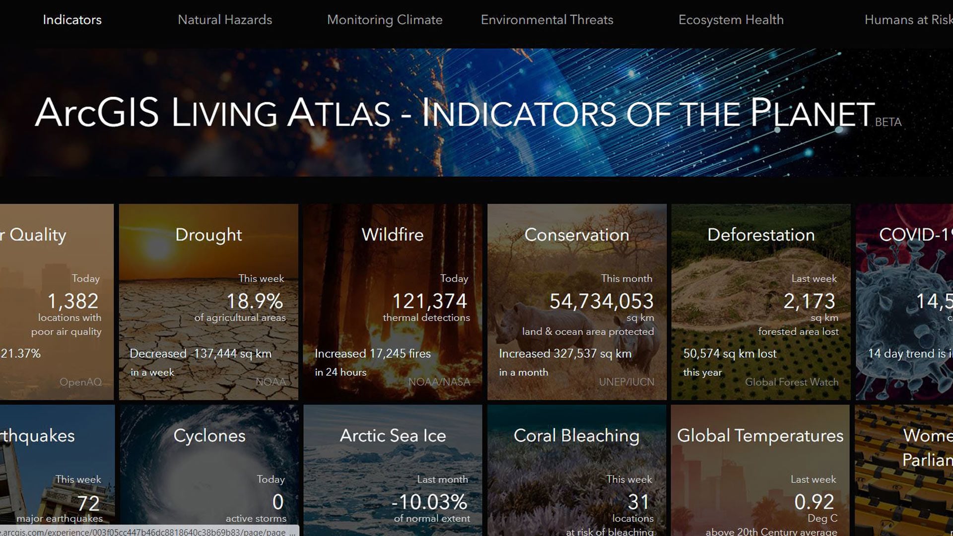
NatureServe recently released its Map of Biodiversity Importance, accessible via ArcGIS Living Atlas of the World.
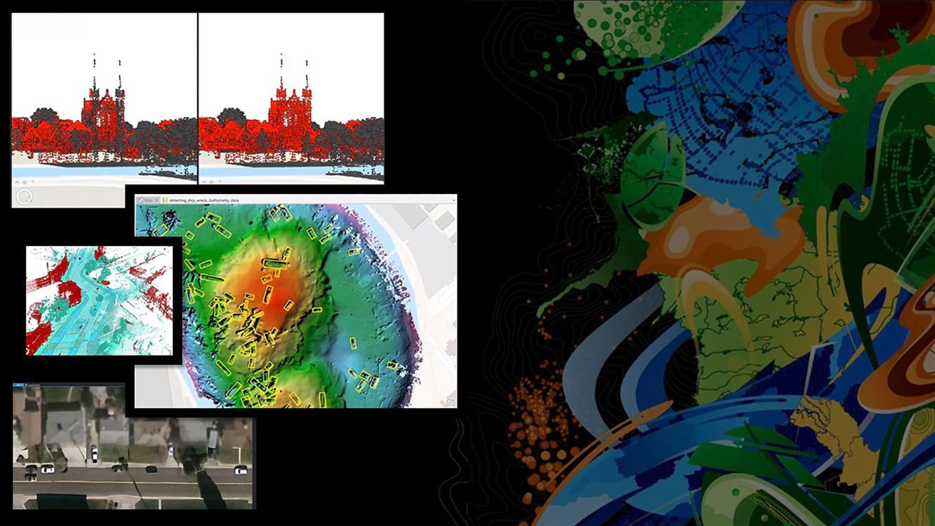
The Esri Developer Summit focused on new capabilities in ArcGIS including those in 3D mapping, natural language processing, and data science.
Robert D. Sharp, director of the NGA, speaks about his agency's roles, goals, and challenges with Esri' president Jack Dangermond.
Get technical know-how on how to develop your geospatial apps at the upcoming Esri Developer Summit in Palm Springs, California.