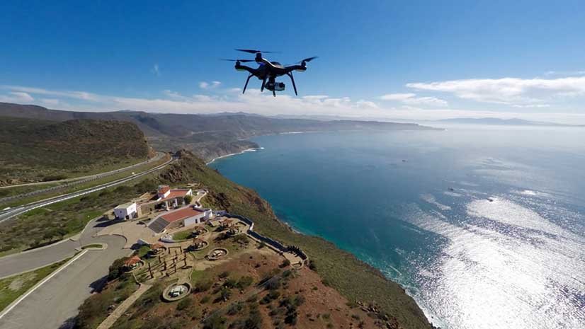
Learn How to Process Drone Imagery Using ArcGIS API for Python
Learn how to use ArcGIS API for Python to automatically orthorectifiy drone, satellite, and aerial imagery.
Learn how to use ArcGIS API for Python to automatically orthorectifiy drone, satellite, and aerial imagery.
What was the big technology buzz at the 2015 Esri Developer Summit (DevSummit)?
Submit your maps for possible inclusion in the Map Gallery at the 2019 Esri User Conference.
Pat Cummens of Esri explains the importance of three new laws passed by Congress and signed by the president, including the Geospatial Data Act.
A team from the US Census Bureau shows how geographic information and GIS mapping apps will be used to conduct the 2020 Census.
Writer Charles Dickens once said, “Procrastination is the thief of time.” With that in mind, sign up for the Esri User Conference today.
Hear stories of how geodesign is being used around the world at the Geodesign Summit, January 29–30, 2014, in Redlands, California.
Bring your ideas to the first Esri Ocean GIS Forum, to be held November 5–7, 2013, in Redlands, California.
Esri is gearing up to host major regional user conferences in Lima, Peru, and Munich, Germany.
Want to learn geospatial development techniques, see the latest technology from Esri, and meet with the developers who build ArcGIS?
How did you celebrate GIS Day? Your peers report how the projects they pursued.