Climate Action with GIS
ArcGIS plays an indispensable role in building a resilient future.
ArcGIS plays an indispensable role in building a resilient future.
Learn how the special capabilities of spatial data analysis can provide deeper understanding in cloud-based mapping and analytics.
If you're making the transition from ArcMap to ArcGIS Pro, this two-day course will help.
In Map Viewer, you can make a map with time-based data and animate it to see patterns or trends over time. Learn to time-enable your data layers.
Learn how labeling features can help you design your maps.
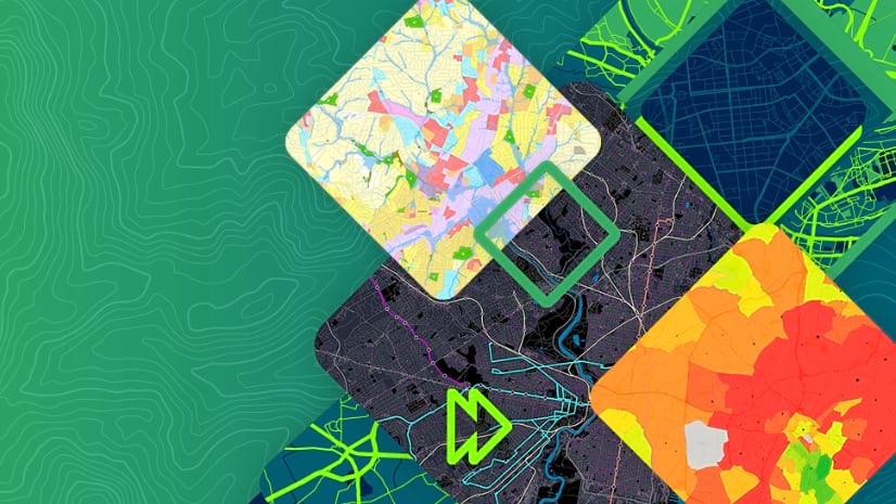
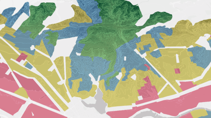
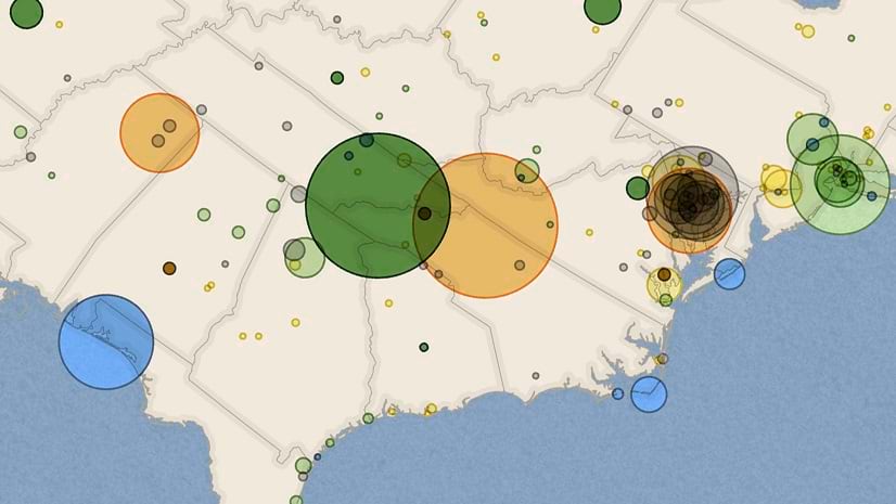
Mappers can now combine multiple visualization techniques using unique values symbology in ArcGIS Pro.
A new title from Esri Press explores how spatial scientists and practitioners can leverage big data and the opportunities it provides.
Explore the challenges and opportunities of adapting the power grid to accommodate renewable energy sources and evolving energy demands.
Jacquie Black, a geography teacher from Scotland, explains how geospatial technology deepens her students' understanding of the world.
Add some flair to your pop-ups with HTML coding.
GIS training in a midwestern US city is helping to foster an environment of innovation and collaboration.
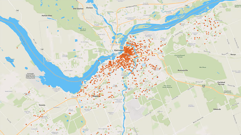
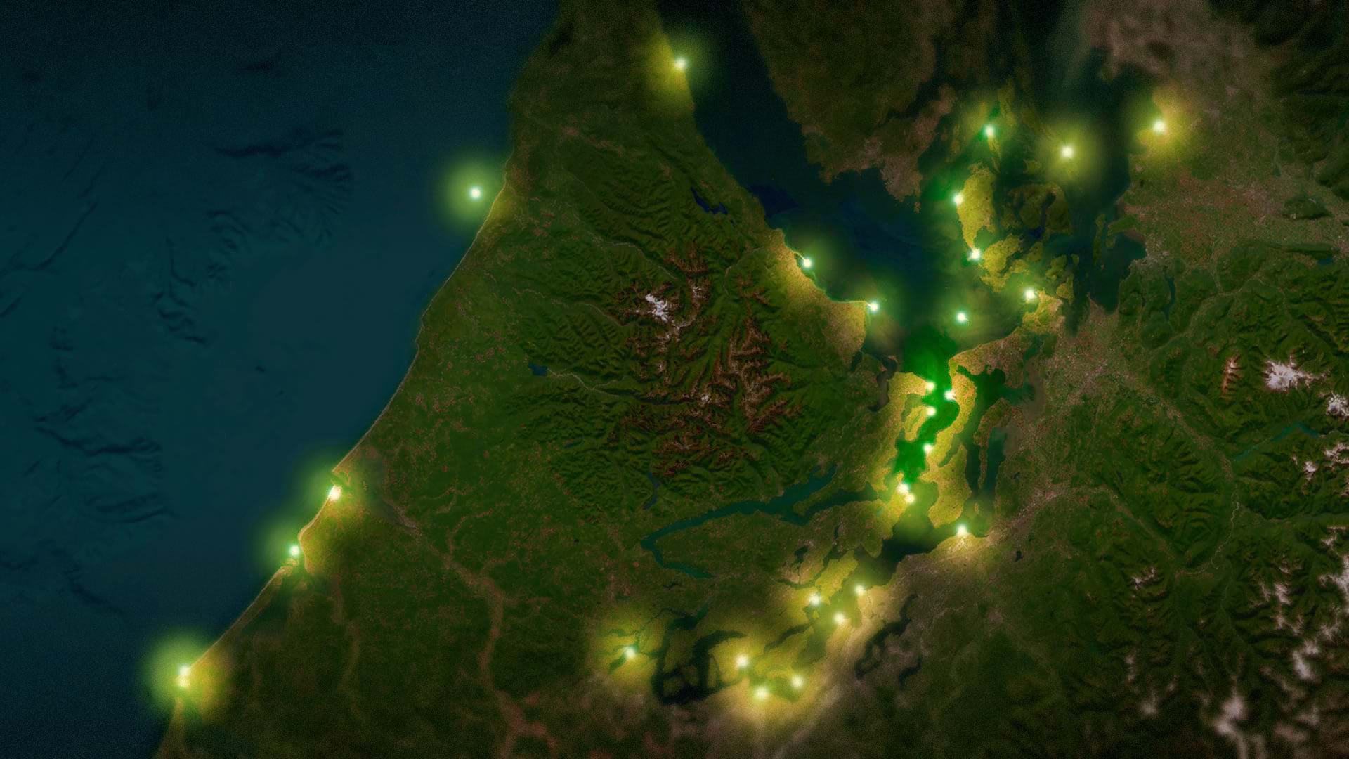
Learn how to make point features in ArcGIS Online look like they’re illuminating a map.