GeoStewards: Mentoring High School Students in GIS
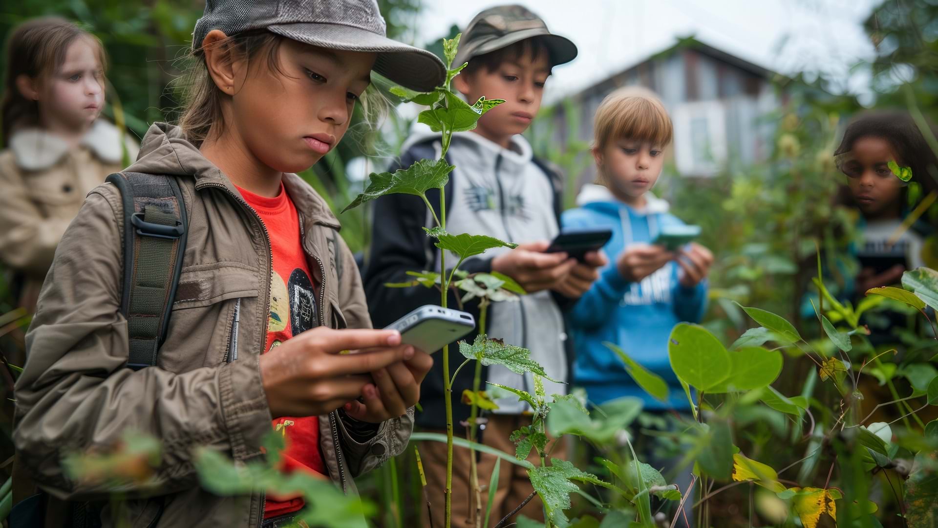
Louisiana high school students are using GIS to develop environmental literacy and skills in research and communication.
Louisiana high school students are using GIS to develop environmental literacy and skills in research and communication.
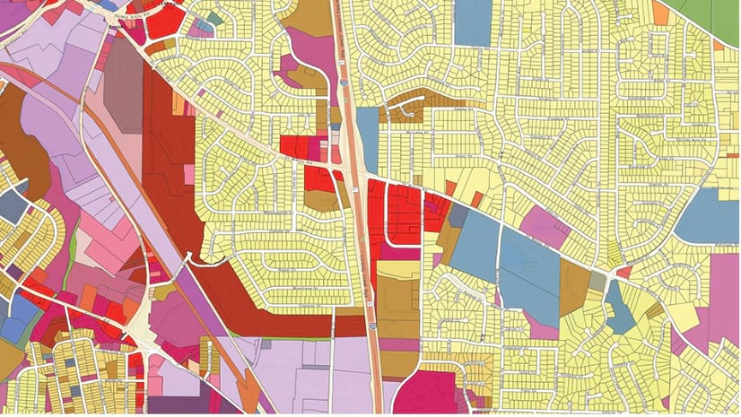
A state transportation department uses ArcGIS Roads and Highways to help municipalities looking to build or improve local roads and bridges.
ArcGIS technology is helping to gather data and educate school children about rat lungworm disease.
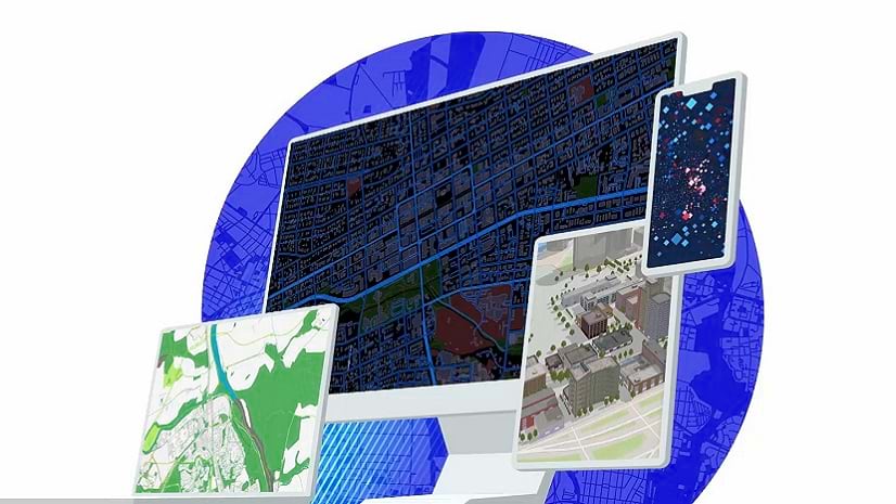
Gain experience using GIS maps to visualize and explore real-world features, analyze data to answer questions, and share maps, data, and more.
During a six-week period, discover how GIS is being used to take positive action against climate change in this upcoming MOOC.
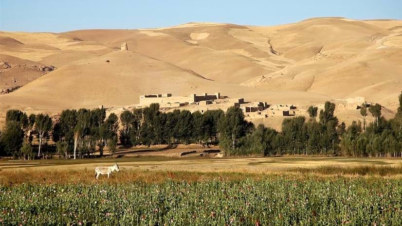
A geospatial analysis company tracks illicit economies and the movement of drugs in Afghanistan using GIS and satellite imagery.
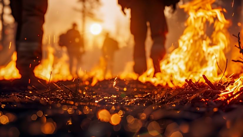
GIS technology can improve firefighter safety with real-time location mapping.
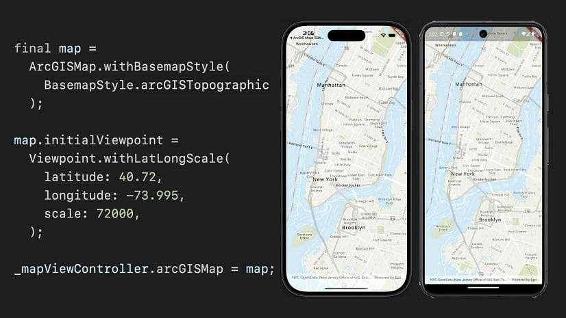
The ArcGIS Maps SDK for Flutter is the latest addition to the family of ArcGIS Maps SDKs for Native Apps.
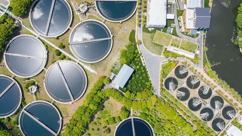
A recent webinar describes how water utility companies can maintain high-quality data for efficient operations, compliance, and more.
The November ArcGIS Online 2024 update includes new capabilities in Map Viewer, an Express mode for Experience Builder, and more.
This no-cost training seminar will introduce foundational concepts for writing Python scripts.
In this Faces of YPN article, meet Catherine DuBreck, an accomplished GIS change management consultant and undergraduate instructor.