Create a Layer and Add Features in ArcGIS Online
Make an empty feature layer, define fields, and use the Map Viewer editing tools to add features.
Make an empty feature layer, define fields, and use the Map Viewer editing tools to add features.
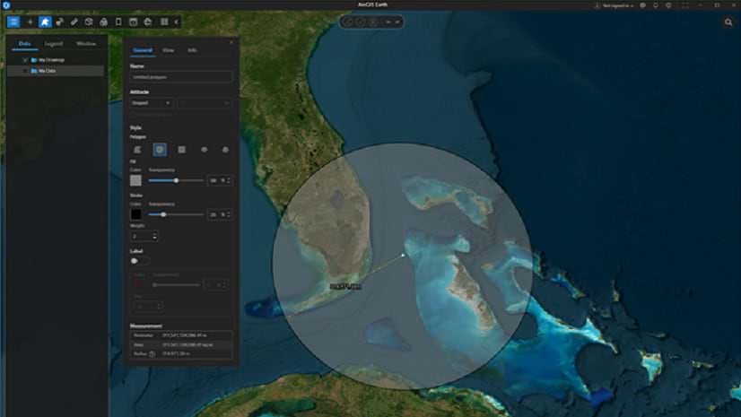
Learn how to extract data within a study area's boundaries.
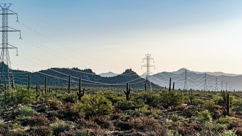
An Esri partner applied data layers to map out a targeted approach to help save howler monkeys from power-line electrocutions in Costa Rica.
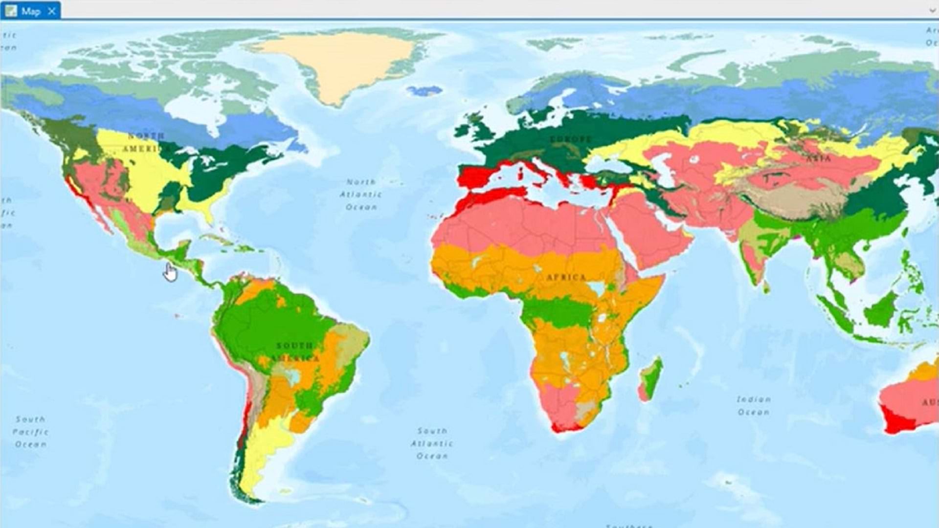
Learn how to use snow data to quickly map a snowstorm.
In WhereNext in 2024, executives wanted to know about risk exposure and how best to deploy AI for growth.
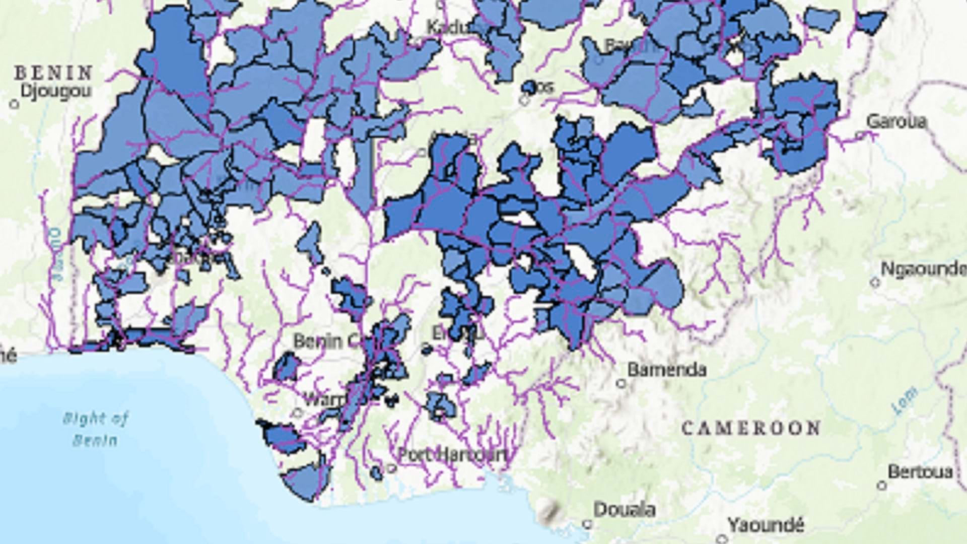
Esri partner GCS created an ArcGIS Online application that would assist in assessing, comparing, and prioritizing conservation efforts.
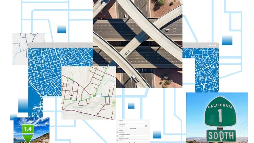
A new replacement reporting workflow leverages ArcGIS Pro to help configure and automate generation of roadway reporting data products.
Review highlights of the new and improved capabilities for raster analysis introduced in 2024.
Read an overview of ArcGIS Online improvements and new capabilities, with links to additional details.
GIS technology helped power a swift response to a bridge collapse.
Drones and a shared mapping solution are helping guide the largest wind energy project in the Western Hemisphere.
In this tip, learn how to test your ArcGIS StoryMaps story’s sharing permissions to ensure it will work when you post it online.