Register for the June 24 WhereNext Webinar
Three geospatial professionals reflect on their experience with transformation—within their organizations as well as in their own careers.
Three geospatial professionals reflect on their experience with transformation—within their organizations as well as in their own careers.
In this WhereNext webcast, hear how three industry leaders use location technology to increase efficiency.
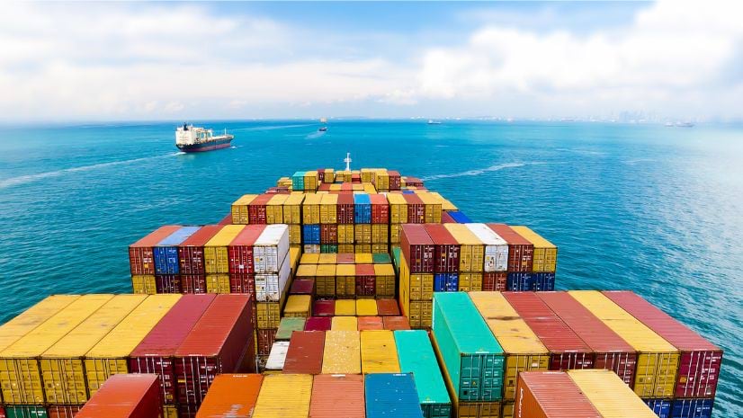
Business resilience begins with visibility into what's happening now to global assets, facilities, the workforce and the future.
Retailers are facing a massive increase in criminal activity in and around their stores. GIS is uniquely suited to help.
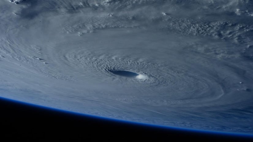
Today’s leaders and professionals have the ambition and innovative capacity needed to adapt business practices to address climate change.
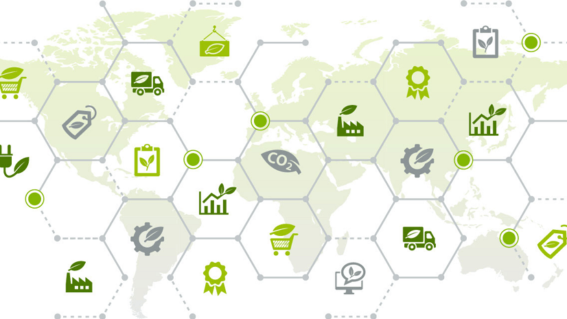
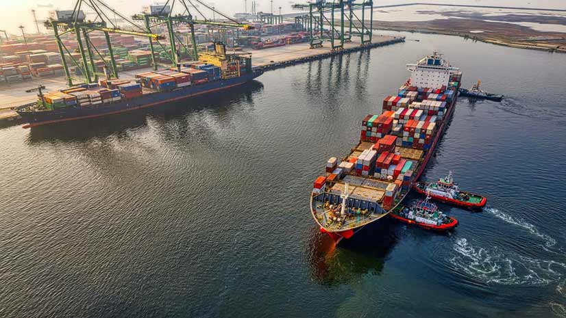
Without an authoritative source for location-specific data and the analytics to interpret, businesses will struggle to localize their business.
Listen as Claudia Blagu, digital project leader at Ingka Investments, talks smart maps, location intelligence, and why sustainability is key.
Orbital Insight's GO tool uses satellite imagery, artificial intelligence, geolocation data and ArcGIS Online basemaps to understand events.
Airspace Link founder and chief executive officer Michael Healander talks about what’s next for the eco-friendly drone delivery industry.
Stephen Bourne from Atkins talks about using city simulators to understand climate change impacts.
Gachina Landscape Management in Silicon Valley uses GIS to map its clients' irrigation information, which saves water, time, and money.
Renee Murphy from Forrester explains how environmentally responsible practices are becoming an essential part of a company's brand.